US Map / Blank US Map
Blank US Map
Two free outline maps: one with state borders and no names — the classic labeling test — and one plain country outline. Both print cleanly in black and white.
Blank map with state borders
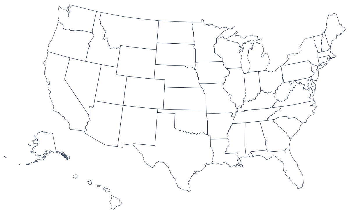
This is the version used for state-identification tests: all 50 state borders are drawn, but nothing is labeled. Print one copy per student, or laminate a copy and reuse it with dry-erase markers. When you're ready to check answers, compare against the labeled US map.
Blank map without borders
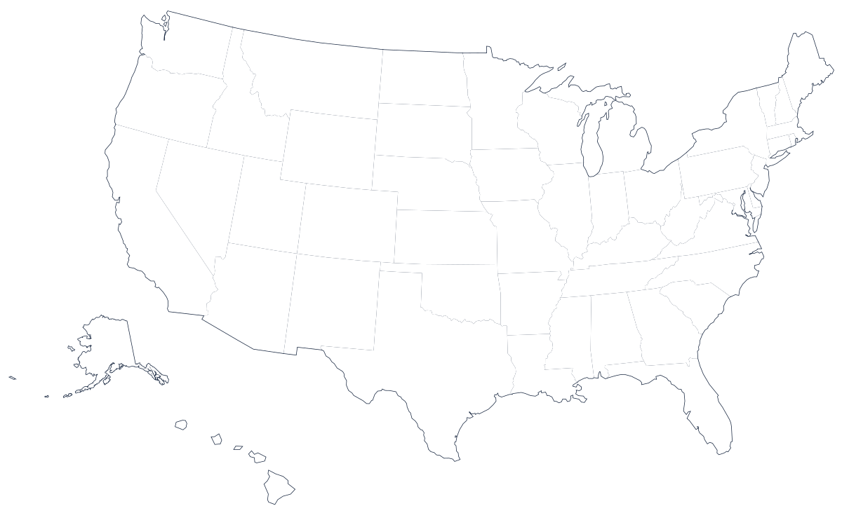
A single country outline with no internal lines. Use it to practice drawing state borders from memory, to shade climate zones or time zones, or as a base map for any thematic project.
Blank maps of individual states
Need just one state? Every state has its own blank outline page, drawn at its own scale rather than cut out of the national map, with a download and a paragraph on what that state's borders actually follow:
- Alabama
- Alaska
- Arizona
- Arkansas
- California
- Colorado
- Connecticut
- Delaware
- Florida
- Georgia
- Hawaii
- Idaho
- Illinois
- Indiana
- Iowa
- Kansas
- Kentucky
- Louisiana
- Maine
- Maryland
- Massachusetts
- Michigan
- Minnesota
- Mississippi
- Missouri
- Montana
- Nebraska
- Nevada
- New Hampshire
- New Jersey
- New Mexico
- New York
- North Carolina
- North Dakota
- Ohio
- Oklahoma
- Oregon
- Pennsylvania
- Rhode Island
- South Carolina
- South Dakota
- Tennessee
- Texas
- Utah
- Vermont
- Virginia
- Washington
- West Virginia
- Wisconsin
- Wyoming
How to use a blank map
The two files do different jobs. The bordered version is a labeling sheet: the shapes are given and the work is attaching names to them, which is what a test needs and what a laminated dry-erase copy is for. The version without borders withholds the shapes, so it is both a harder exercise — draw the state lines from memory — and a better base map, because there is nothing on it to fight with when you shade the four Census regions, the six time zones, rainfall, elevation or an election result across it. Both are drawn from the same projection at the same size, so a filled-in outline can be checked against the bordered sheet by holding the two up to a window.
One practical note about the northeastern corner: eight states there — Connecticut, Delaware, Maryland, Massachusetts, New Hampshire, New Jersey, Rhode Island and Vermont — are too narrow at country scale to write a name inside. Use two-letter codes for them and put the expansion in a key at the side of the sheet, which is exactly what the printable labeled map does.
Tips for printing
Both maps are vector files, so they stay sharp at any size. For US Letter or A4, print in landscape orientation at 100% scale rather than "fit to page", which shrinks the map and leaves uneven margins. For classroom posters, the SVG can be printed up to A1 without losing quality — the poster printing guide covers tiling across several sheets. Greyscale printing costs nothing here: every blank map is pure line art on white, so there is no fill to drain a color cartridge. If you want to test yourself before printing, try the interactive US map quiz first, or the worksheet guide for a full lesson sequence.