US Map / Blank US Map / North Carolina
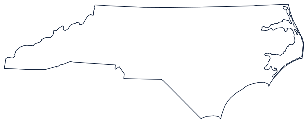
Blank North Carolina Map
North Carolina is 500 miles wide and never more than about 190 deep, and the seaward end of it is a chain of sandbars standing well out from the mainland.
A long state with a detached coast
The northern boundary is 36°30′, the line surveyed westward from the Atlantic to separate the Carolinas from Virginia, and it runs almost the full width of the state with only minor offsets where successive survey parties disagreed. The western end is a point: the state narrows to a wedge in the Great Smoky Mountains, where the boundary with Tennessee follows the crest of the Blue Ridge and the Unaka range rather than any straight line, giving the left-hand end of the outline its irregular, mountainous edge.
The southern boundary with South Carolina is the odd one. It was run in stages from the 1730s onward and it shows: a diagonal from the coast, then a step north, then a long straight run west, with a further jog where the line was bent around Catawba land. It is the most staircase-like state boundary in the East.
The coast is what makes the shape famous. The Outer Banks stand miles offshore, enclosing Albemarle and Pamlico sounds, and turn sharply at Cape Hatteras before running southwest to Cape Lookout and Cape Fear. Draw the mainland shore and the barrier islands as separate lines or the eastern third of the state is wrong.
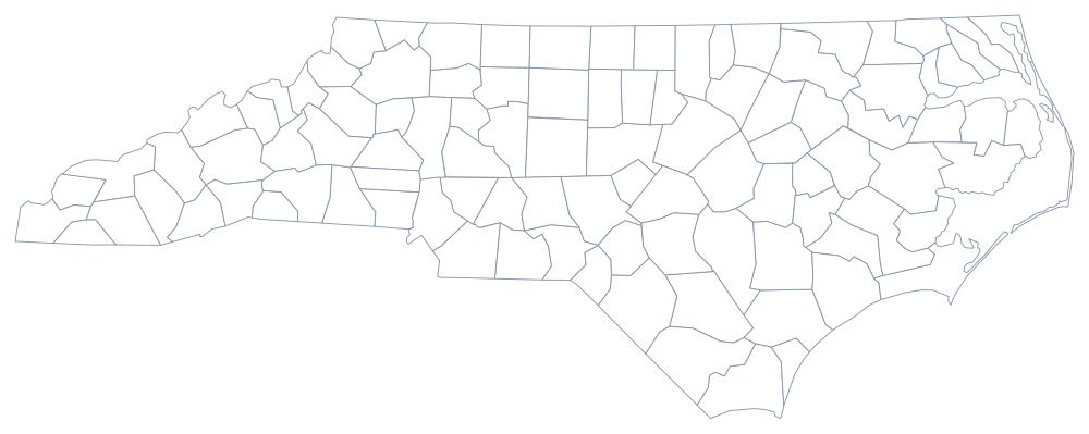
North Carolina has 100 counties — see the North Carolina county map — and the Piedmont, the Research Triangle and the mountains are on the North Carolina state page. Print South Carolina, Virginia and Tennessee alongside it, or use the index of all fifty outlines. The Southern states quiz drills the same coastline.