US Map / Blank US Map / Wisconsin
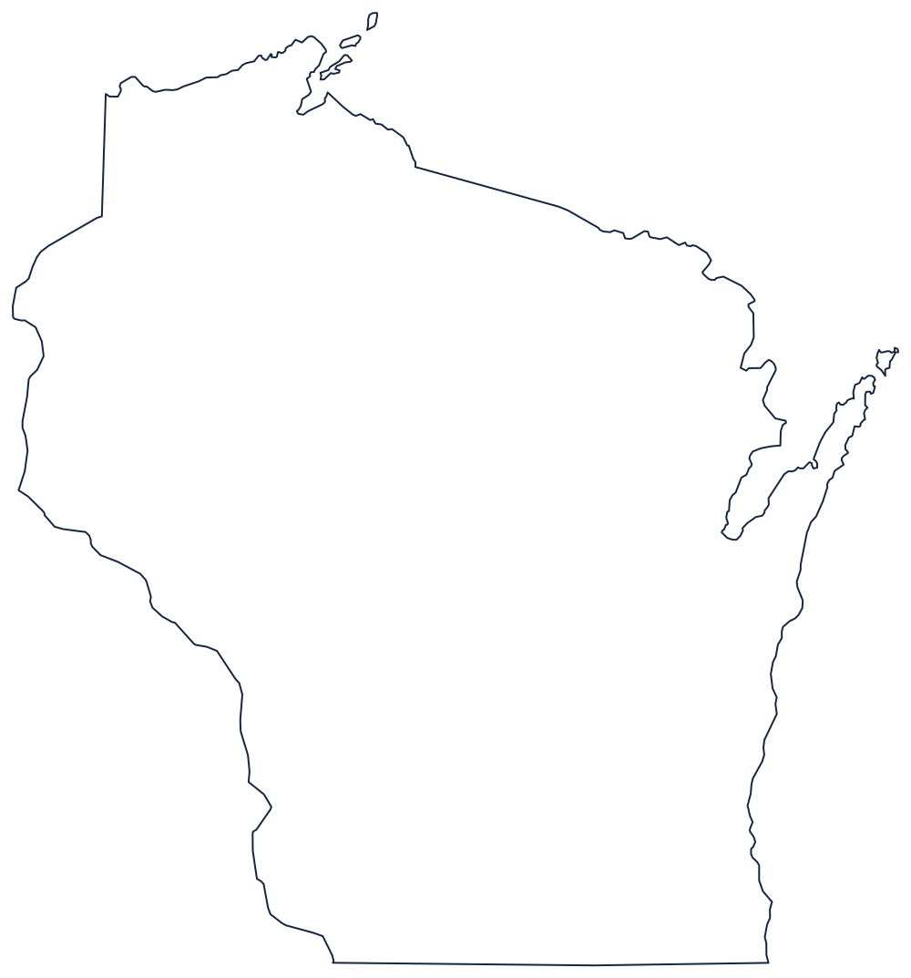
Blank Wisconsin Map
Wisconsin is bounded by water on three sides and by a single straight survey line on the fourth — the line that cost it Chicago.
Two lakes, two rivers, one ruled line
The eastern boundary is Lake Michigan, from the Illinois corner north past Milwaukee to the Door Peninsula — the long finger that separates Green Bay from the open lake and is the state's most recognisable feature. Above it the boundary crosses to the Menominee River, which runs northwest against Michigan's Upper Peninsula, then follows a surveyed line and the Montreal River up to Lake Superior.
The northern edge is the Lake Superior shore, including the arc of the Bayfield Peninsula and the Apostle Islands offshore. The western boundary is two rivers: the St. Croix runs south from near Lake Superior to its mouth, and the Mississippi carries the line the rest of the way down against Minnesota and Iowa, meandering past La Crosse and Prairie du Chien.
That leaves the south. The boundary with Illinois is a single straight line on 42°30′, set about sixty miles north of the foot of Lake Michigan when Illinois was admitted. The territory below it — including what became Chicago — had been expected to fall to Wisconsin, and the argument over it ran for decades after the line was fixed.
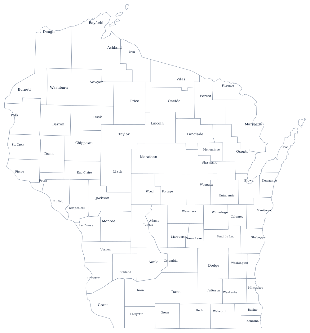
The 72 county lines print from the Wisconsin county map, and the Driftless Area, the dairy belt and Milwaukee are on the Wisconsin state page. Print Michigan, Minnesota and Illinois to close the borders; the index is on the index of all fifty outlines. The Midwest quiz tests the same lake states.