US Map / Blank US Map / Missouri
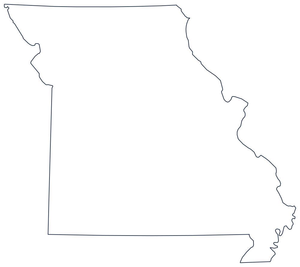
Blank Missouri Map
Missouri has the most argued-over outline in the Midwest: a boot heel in the southeast, a river that kinks the western line, and a northern edge won in a war.
Four sides, four different rules
The eastern boundary is the Mississippi River from the Iowa corner down past St. Louis and Cape Girardeau — a long, deeply meandering line that no student draws accurately the first time. At the southeastern end it produces the Bootheel: a rectangle of land hanging below 36°30′, added at the request of a landowner who wanted his holdings in Missouri rather than Arkansas, and now the state's signature feature.
The southern line is 36°30′, the Missouri Compromise latitude. The western line starts as a meridian against Kansas but changes character at Kansas City: north of the mouth of the Kansas River the Missouri River itself carries the boundary, bending northwest along Nebraska before the line finally leaves it. That kink is the Platte Purchase, six counties added in 1836 and the reason the northwest corner bulges.
The northern line, against Iowa, was fought over. The Honey War of 1839 turned on whether the boundary followed one set of rapids or another; the Supreme Court settled it and the line runs slightly north of where Missouri wanted it.
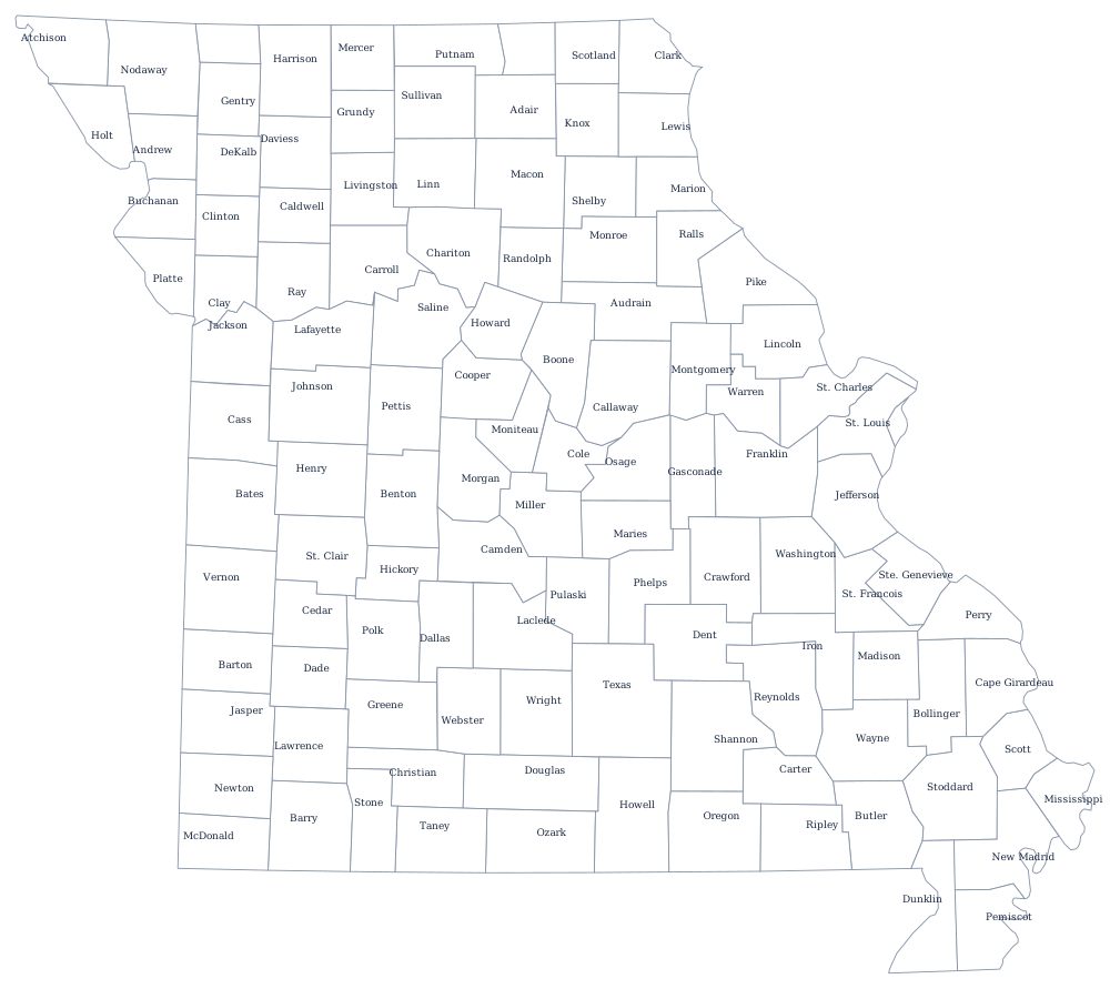
Missouri has 115 counties plus the independent city of St. Louis — see the Missouri county map — and the Ozarks and the two big rivers are covered on the Missouri state page. Print Arkansas for the Bootheel notch, Illinois for the river, and Kansas for the western line. The rest are on the blank US map hub, and the Midwest quiz tests the same set.