US Map / Blank US Map / Rhode Island
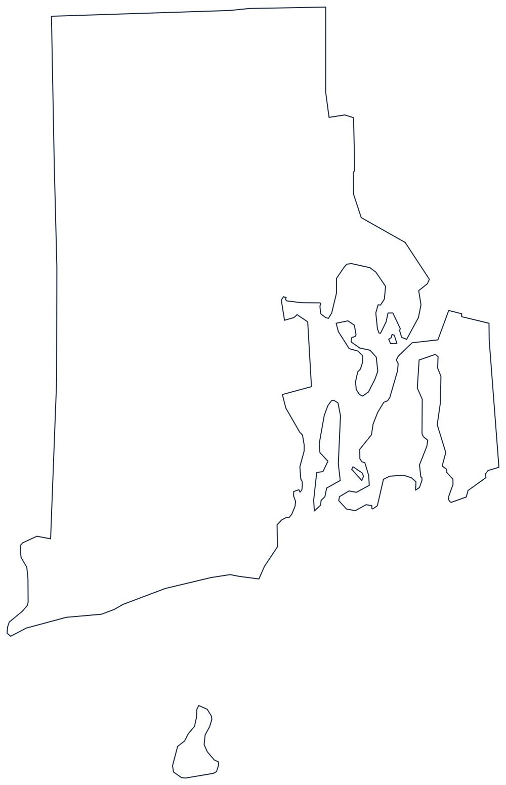
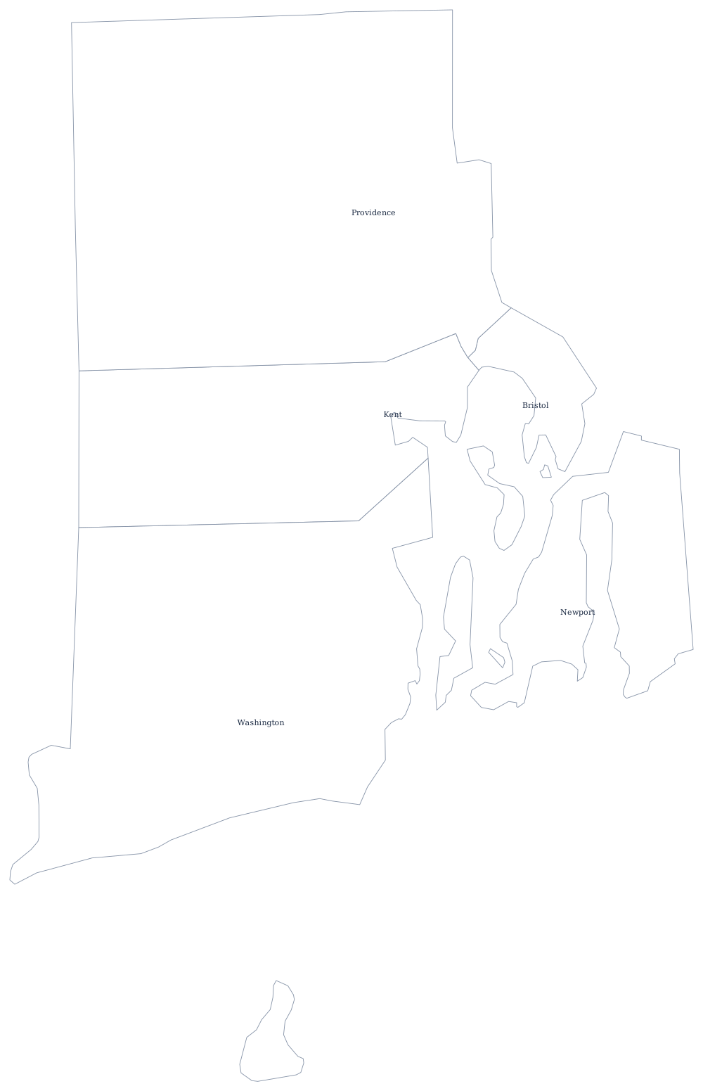
Blank Rhode Island Map
Narragansett Bay reaches so far inland that the smallest state is mostly edge: the coastline is many times the length of the two land boundaries combined.
A small state cut nearly in half by a bay
The two landward boundaries are simple. The west is a straight north–south line against Connecticut. The north is a straight east–west line against Massachusetts, and the eastern boundary is straight too, except where it steps around the head of the bay — a line adjusted in the 1860s when East Providence and part of Pawtucket passed from Massachusetts to Rhode Island in exchange for territory at the other end.
Everything else is water. Narragansett Bay drives north almost to the Massachusetts line, splitting the state into a mainland west side and a narrow eastern strip, and leaving Aquidneck Island, Conanicut Island and Prudence Island standing in the middle of it. Newport sits at the seaward end of Aquidneck. South of the bay the coast runs west in a low barrier of beaches and salt ponds to Watch Hill.
Block Island lies about nine miles offshore and is easy to leave off a hand drawing. It belongs on the map: it is the whole of the state's fifth town-county, New Shoreham.
Rhode Island's five counties have no county government at all, which is why the Rhode Island county map is more a historical division than an administrative one; Providence, the bay and the shore towns are on the Rhode Island state page. Print Connecticut and Massachusetts, the only two states it touches, and see the rest on the printable blank map page. It is the state most often misplaced in the Northeast quiz.