US Map / Blank US Map / Wyoming
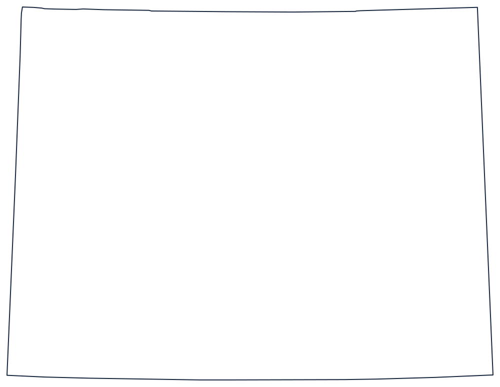
Blank Wyoming Map
Wyoming is the purest rectangle on the map: two parallels, two meridians, and not one mile of its boundary decided by a river or a mountain.
A state drawn entirely with a ruler
The whole outline is four lines. The south is the 41st parallel, shared with Colorado and Utah. The north is the 45th parallel, shared with Montana. The east is the meridian at 104°03′, run against Nebraska and South Dakota, and the west is the meridian at 111°03′, run against Utah and Idaho. Nothing about the shape reflects the land underneath it.
It is not quite a true rectangle, and that is worth telling a class. The boundaries were marked on the ground by separate survey parties working with nineteenth-century instruments, and the monuments they set — not the mathematical lines — are the legal border, so the sides wander by a few hundred feet in places and the corners are not exactly square.
Because the border ignores geography, the interior features have to carry the map. The Continental Divide crosses the state from the northwest to the south-center; the Wind River, Bighorn and Teton ranges sit in the west; and Yellowstone National Park occupies the northwestern corner, spilling over the 45th parallel into Montana and over the western meridian into Idaho.
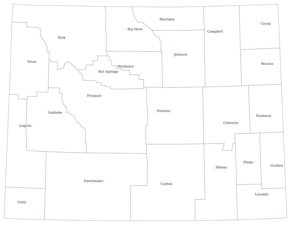
Wyoming has only 23 counties, the fewest of any state outside the Northeast — see the Wyoming county map — and the basins, the ranges and Cheyenne are on the Wyoming state page. Print Colorado, the other all-straight rectangle, then Utah for the notch and Montana for the northern line. All 50 are on the blank US map hub, and the Western states quiz asks you to tell the two rectangles apart.