US Map / Blank US Map / Mississippi
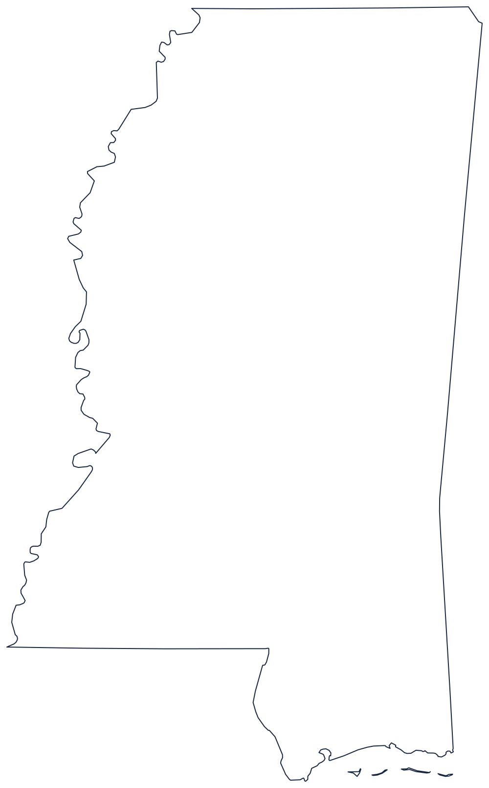
Blank Mississippi Map
Mississippi is named for the boundary that gives it all its trouble: a river that has moved so often the state line no longer follows the water.
One ragged side, three tidy ones
The western boundary is the Mississippi River, and it is the reason this outline is hard to copy. The channel has cut through its own loops repeatedly since the line was fixed, so the border still follows the old meanders while the river has moved on. The result is a fringe of hooks and detached pockets down the whole left side, several of which leave Mississippi land on the Arkansas or Louisiana bank.
The north is the 35th parallel, a clean surveyed line to Tennessee. The east is a meridian to Alabama, straight except for a step near the southern end. The southeast corner runs down the Pearl River to the Gulf, which is why the bottom-right of the state is a river line rather than a ruled one.
The Gulf frontage is short — barely seventy miles of mainland shore from the Pearl to the Alabama line — and it is screened by a row of low barrier islands, Cat, Ship, Horn and Petit Bois, lying a few miles offshore in Mississippi Sound. Drawing them separates a careful outline from a rushed one.
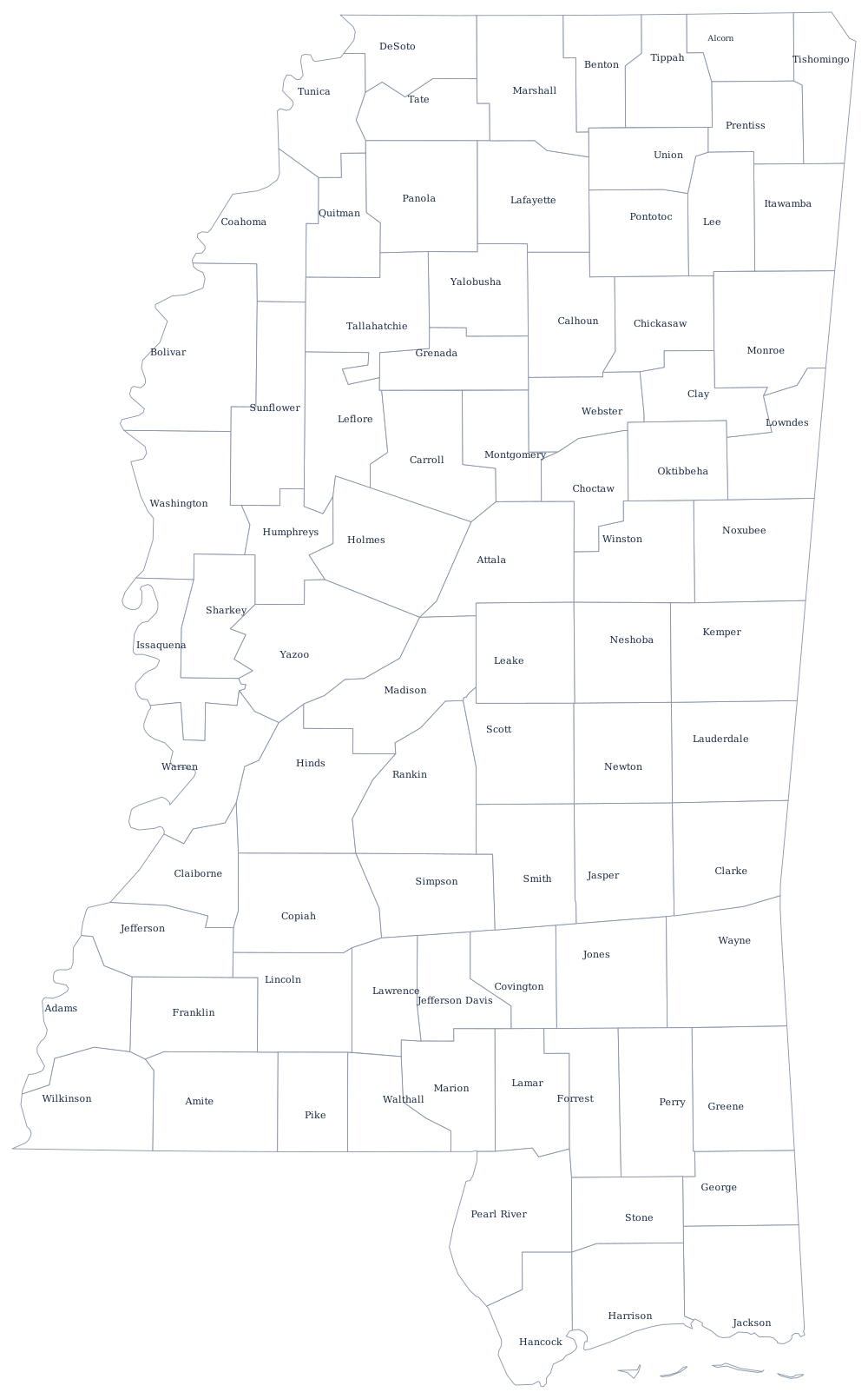
The Delta, the Piney Woods and Jackson are covered on the Mississippi state page, and all 82 county lines print from the Mississippi county map. The neighbors are Louisiana, Alabama and Arkansas, and the whole index is on the index of all fifty outlines. The Southern states quiz covers the same river frontier.