US Map / Blank US Map / Michigan
Blank Michigan Map
Michigan is the only state that has to be drawn in two pieces, and the piece most people forget is the larger one by shoreline.
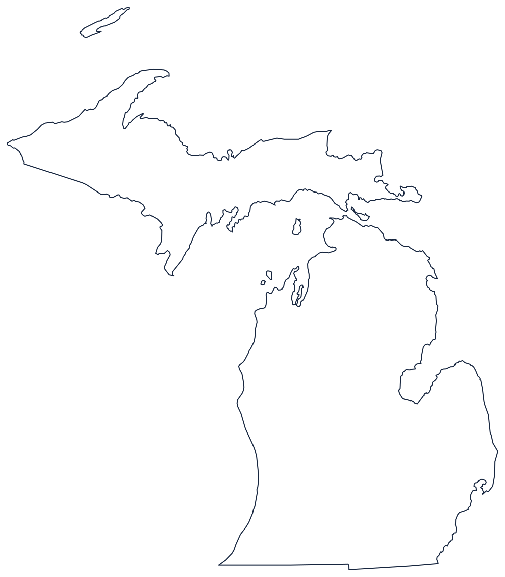
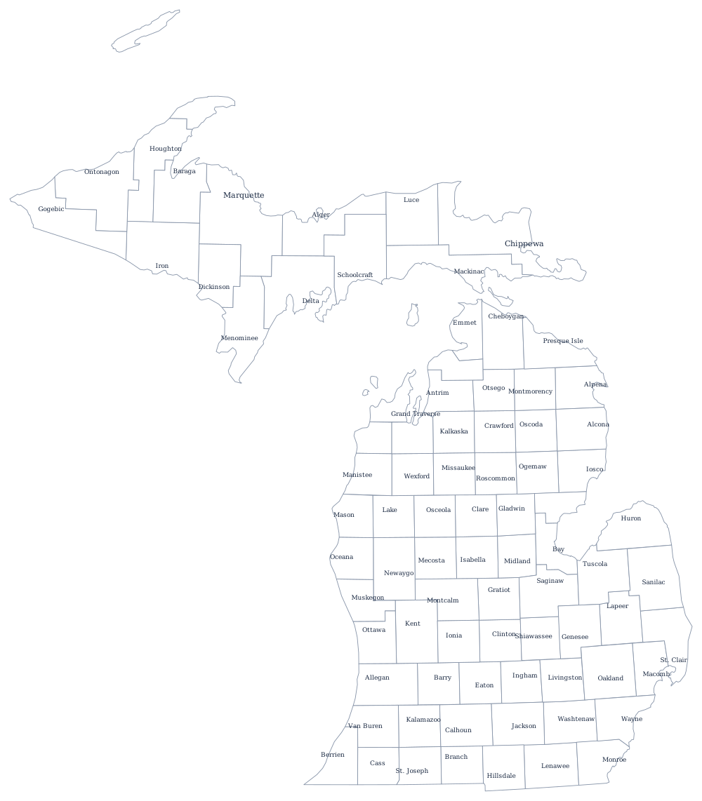
Two peninsulas, one state
Almost the entire Michigan boundary is water. The Lower Peninsula is a mitten held between Lake Michigan on the west and Lake Huron on the east, with Saginaw Bay cutting in to leave the Thumb standing out on the eastern side. The southeastern corner runs down the St. Clair River, across Lake St. Clair and down the Detroit River to Lake Erie — the only stretch of Michigan's edge that is a river rather than a lake or a survey line.
The Upper Peninsula sits across the Straits of Mackinac, four miles of water at the narrowest. Its northern side is Lake Superior, its southern side Lake Michigan, and its one land boundary runs against Wisconsin along the Menominee and Montreal rivers with a surveyed line between them. Isle Royale, far out in Lake Superior and closer to Minnesota than to any Michigan town, belongs to Michigan and belongs on the map.
The southern boundary is the exception: a straight east–west line to Indiana and Ohio. It was drawn from the southern tip of Lake Michigan and it cost Michigan the Toledo Strip, which is why the line tilts very slightly and why the Upper Peninsula was handed over as compensation.
The 83 county lines print from the Michigan county map, and Detroit, the auto belt and the lakes are covered on the Michigan state page. Print Wisconsin, Ohio and Indiana to close the borders, or browse the printable blank map page. The shape is a giveaway in the easiest states quiz.