US Map / Blank US Map / Montana
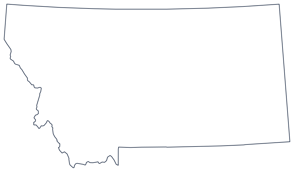
Blank Montana Map
Montana's border is a straight line on three sides and a mountain crest on the fourth, which is why only the left-hand edge is difficult to draw.
Where the ruler stops
The northern boundary is the 49th parallel, running unbroken from the Idaho panhandle to North Dakota — the longest single stretch of that line held by any state. The east is a meridian dropped to the South Dakota corner. The south is a parallel run west from that corner, interrupted by one square notch where Yellowstone National Park pushes north out of Wyoming into Montana; the park's northern strip is Montana territory and the notch has to be drawn.
The western boundary is the only natural one, and it changes rule halfway. From the Wyoming corner the line follows the crest of the Bitterroot Range, a watershed divide that wanders north in a long irregular curve — the reason the left side of the outline looks hand-drawn. Near Lolo Pass it leaves the crest and becomes a straight meridian running north to Canada, cutting off the top of the Idaho panhandle.
Nothing else on the sheet is coast or river, so the interior features are the ones to label: the Continental Divide crossing from northwest to south, and the plains east of it that make up more than half the state.
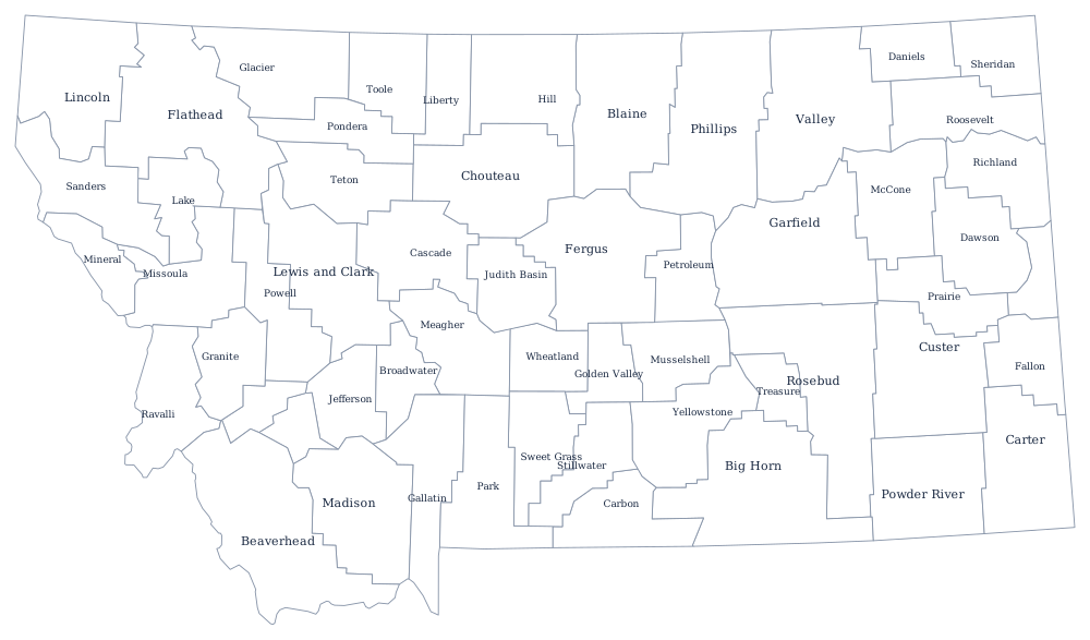
Montana's 56 county lines are on the Montana county map; the Rockies, the Hi-Line and the Missouri headwaters are on the Montana state page. The neighbors print as Idaho, Wyoming and North Dakota, and the index is on the printable blank map page. The Western states quiz covers the northern Rockies block.