US Map / Blank US Map / Georgia
Blank Georgia Map
Two rivers draw most of Georgia, and the one straight line across the top was surveyed in the wrong place and never moved.
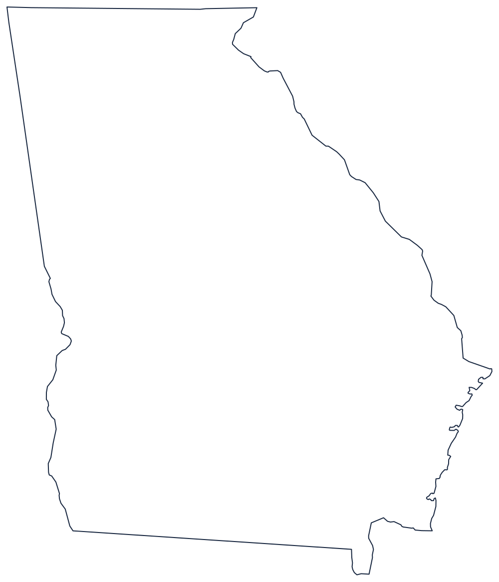
Rivers on two sides, a survey error on the third
The eastern boundary is the Savannah River, running from the Atlantic up past Augusta and continuing as the Tugaloo and Chattooga into the mountains — the whole line with South Carolina is water, which is why that edge of the outline is so ragged. The southwestern boundary is the Chattahoochee, dividing Georgia from Alabama below West Point before the line straightens and climbs to the northwest corner.
Along the top, the border with Tennessee and North Carolina is meant to be the 35th parallel. The 1818 survey put it roughly a mile too far south, and the mistake stuck: the line on the map is not the line in the treaty, which is why Georgia periodically revives a claim to a sliver of the Tennessee River. The southern boundary runs from the Chattahoochee–Flint confluence northeast to the Okefenokee Swamp and then down the St. Marys River to the sea.
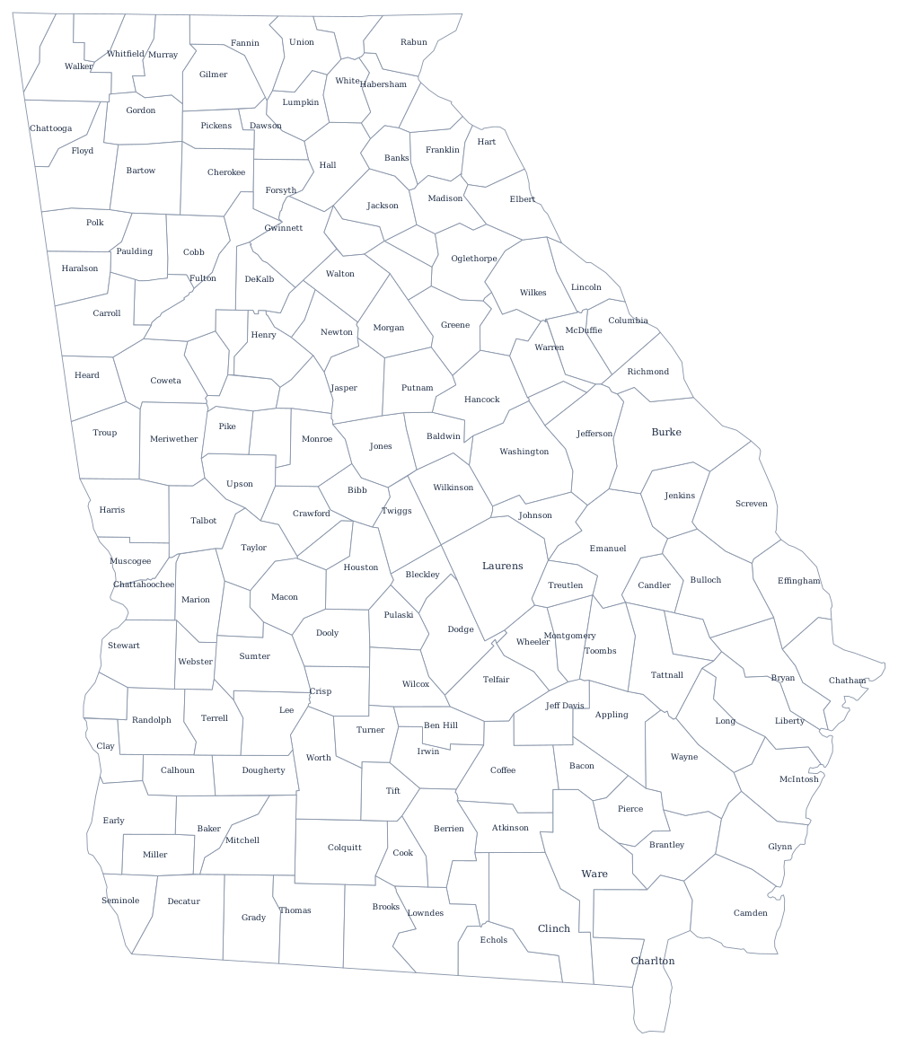
The Atlantic edge is short but complicated, screened by the low Sea Islands and cut by tidal sounds behind them. With 159 counties Georgia has more than any state but Texas — see them all on the Georgia county map, and read about the fall line and the Blue Ridge on the Georgia state page. Print South Carolina, Florida and Tennessee to work along each border, or start from the index of all fifty outlines. The Southern states quiz covers the same block.