US Map / Blank US Map / Kansas
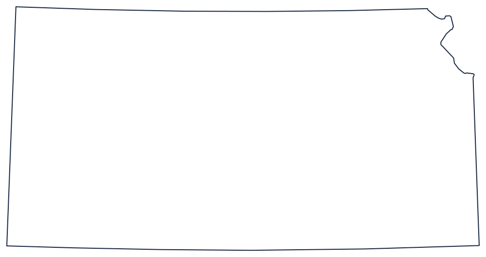
Blank Kansas Map
Kansas is a rectangle with one corner bitten off, and the thing doing the biting is the Missouri River above Kansas City.
Where the straight lines stop
Three of the four sides are pure survey. The southern boundary with Oklahoma is the 37th parallel, the northern boundary with Nebraska is the 40th, and the western boundary with Colorado is a meridian — the same one that forms Colorado's eastern line. Draw those and you have three sides of a neat box.
The fourth side is where it gets interesting. Starting at the southeast, the line with Missouri runs due north as a meridian, but it does not reach the 40th parallel. At the mouth of the Kansas River, where Kansas City stands, the Missouri River intercepts it, and from that point the boundary follows the river northeast to the corner. That single substitution takes a triangular slice out of the top-right of the rectangle and gives the state its one recognisable feature in silhouette.
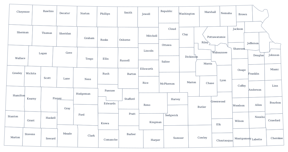
Everything else about the shape is a product of the 1854 territorial act and the land surveys that followed, which is also why the interior county lines are so regular away from the rivers. There are 105 of them on the Kansas county map. The High Plains, the Flint Hills and Wichita are covered on the Kansas state page. To see the shared lines from the other side, print Nebraska, Oklahoma and Colorado; the rest are on the index of all fifty outlines. Plains rectangles are exactly what the hardest states quiz is built from.