US Map / Blank US Map / Louisiana
Blank Louisiana Map
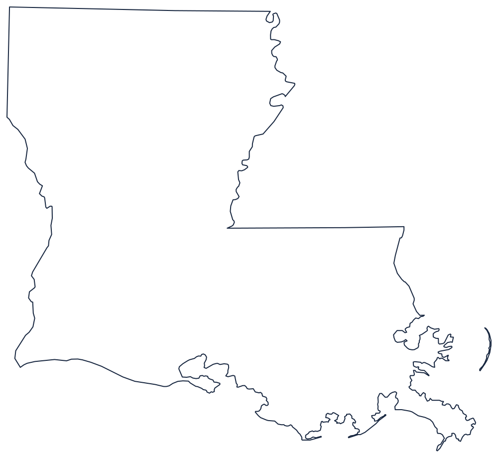
Louisiana's boot is a river on each side, a ruled line across the top, and a coastline the Mississippi is still building.
What makes the boot a boot
The western boundary is the Sabine River, running south from the Arkansas corner into Sabine Lake and the Gulf, dividing Louisiana from Texas. The northern boundary is the 33rd parallel, ruled flat. The eastern boundary starts as the Mississippi River against the state of Mississippi, then leaves the river at the 31st parallel, runs east along it, and turns south down the Pearl River to Lake Borgne.
That eastward step is what creates the top of the boot. The block of land it encloses — east of the Mississippi and north of Lake Pontchartrain — is the Florida Parishes, so called because it was part of Spanish West Florida rather than the Louisiana Purchase, and it is the reason the state's eastern edge is not a single line.
The Gulf coast is the other half of the story. Nothing about it is stable: the shore is a fringe of marsh, barrier islands and bays, and at the toe of the boot the Mississippi pushes its bird-foot delta out past the general line of the coast. Modern outlines drawn from recent survey data show noticeably less land here than older ones.
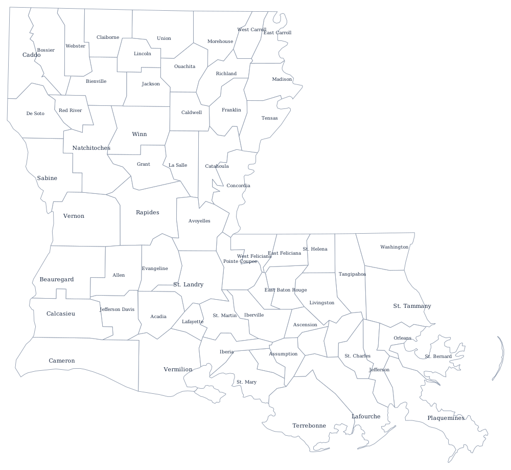
Louisiana is the only state divided into parishes rather than counties, 64 of them, on the Louisiana parish map; New Orleans, Baton Rouge and the Atchafalaya are on the Louisiana state page. Print Mississippi, Texas and Arkansas for the three borders, or browse the printable blank map page. The Southern states quiz tests the same coastline.