US Map / Blank US Map / Pennsylvania
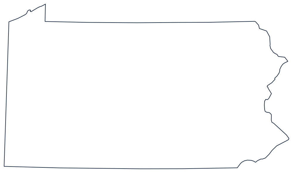
Blank Pennsylvania Map
Pennsylvania is a rectangle with a bite taken out of one corner and a triangle bolted onto another, and both were bought rather than surveyed.
The rectangle and its two corners
Three boundaries are straight. The south is the Mason–Dixon Line, run in the 1760s to settle the Penn and Calvert dispute and later understood as the divide between free and slave states; it separates Pennsylvania from Maryland and, at its western end, from West Virginia. The north is the 42nd parallel against New York. The west is a meridian, shared with Ohio and West Virginia's northern panhandle.
The two corners are the story. In the northwest the straight lines would have left the state with no lake frontage, so Pennsylvania bought the Erie Triangle in 1792 — the wedge that lifts the boundary up to Lake Erie and gives the state its only port. In the southeast, the Twelve-Mile Circle drawn around New Castle cuts a curved bite out of the bottom of the state; it is the only circular state boundary in the country.
The eastern side is the Delaware River, which the whole way down separates Pennsylvania from New Jersey and, at the top, from New York. The Ohio River begins at Pittsburgh and leaves the state almost at once, but the Susquehanna and the Allegheny run across the interior and are the first lines to add.
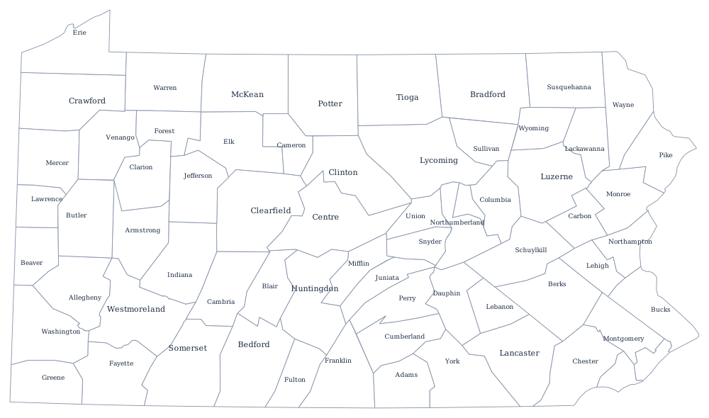
The 67 county lines print from the Pennsylvania county map, and Philadelphia, the Alleghenies and the anthracite belt are on the Pennsylvania state page. Print New York, Maryland and Ohio to fit the straight lines together; the rest are on the blank US map hub. The Northeast quiz uses the same shapes.