US Map / Blank US Map / Massachusetts
Blank Massachusetts Map
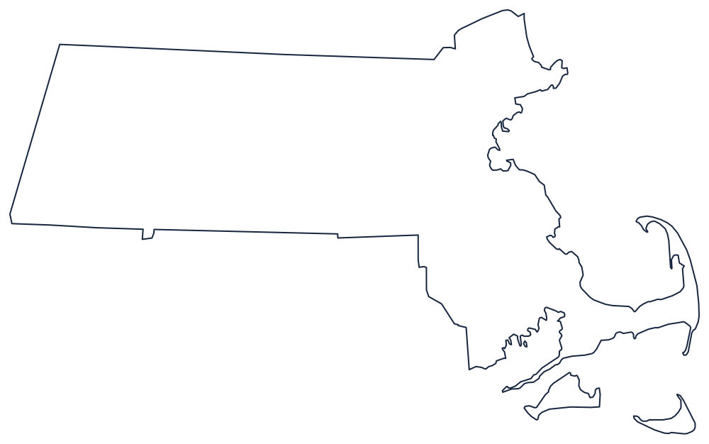
Everything memorable about the Massachusetts outline sits at the right-hand end, where Cape Cod curls back on itself like a flexed arm.
The straight three and the crooked one
Three sides of Massachusetts were surveyed. The west is a north–south line against New York, run and re-run through the eighteenth century until it settled just east of the Taconic crest. The north is a line to Vermont and New Hampshire that was supposed to sit three miles north of the Merrimack; the surveyors followed the river's course instead of its mouth, which is why the northern edge has a slight step in it rather than running true. The south is a similar line to Connecticut, with a small offset near Southwick where Connecticut pushes a notch upward.
The fourth side is all water and it does all the work. From the New Hampshire corner the coast runs down past Cape Ann, curls into Massachusetts Bay and Boston Harbor, then throws out Cape Cod — a hook forty miles long that turns north at Chatham and ends at Provincetown, enclosing Cape Cod Bay. Martha's Vineyard and Nantucket sit offshore and must be drawn as separate islands; students routinely leave them off.
The other thing to get right is the square bite in the southeast corner. That is Rhode Island, and Massachusetts wraps around it on two sides before reaching Buzzards Bay.
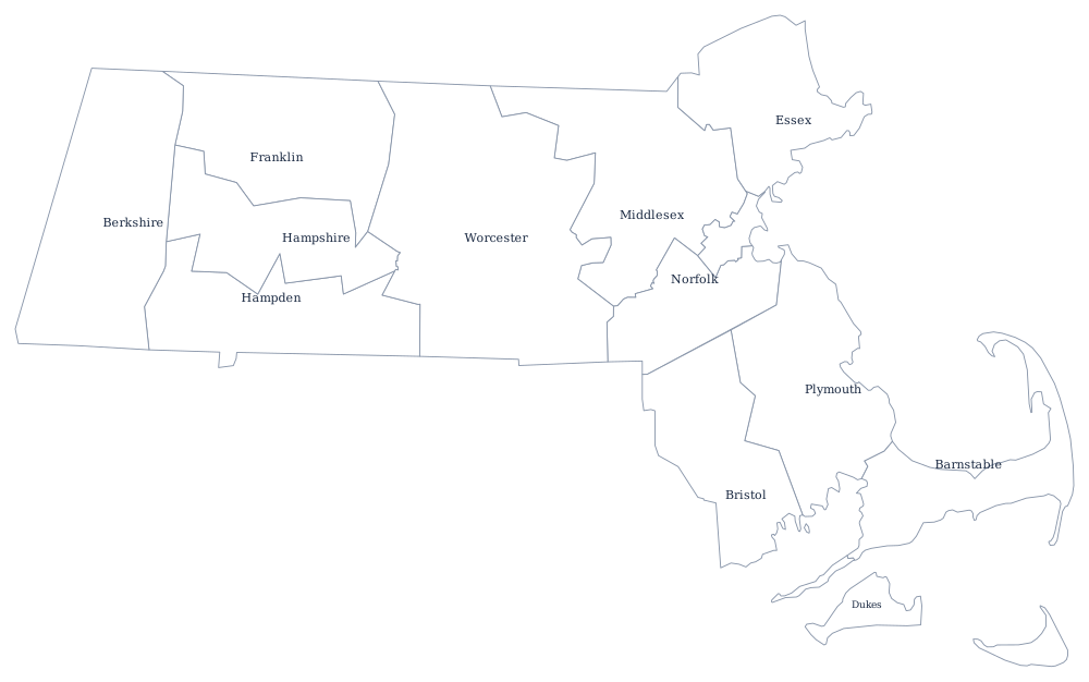
The interior detail — the Connecticut River valley cutting north to south through the middle, the Berkshires in the far west — is on the Massachusetts state page, and the 14 county lines print from the Massachusetts county map. The neighbors worth printing beside it are Rhode Island, Connecticut and New Hampshire. The full set is on the blank US map hub, and the Northeast quiz uses the same crowded corner.