US Map / Blank US Map / Hawaii
Blank Hawaii Map
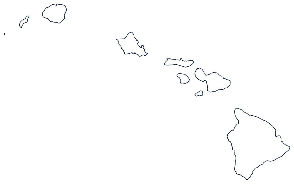
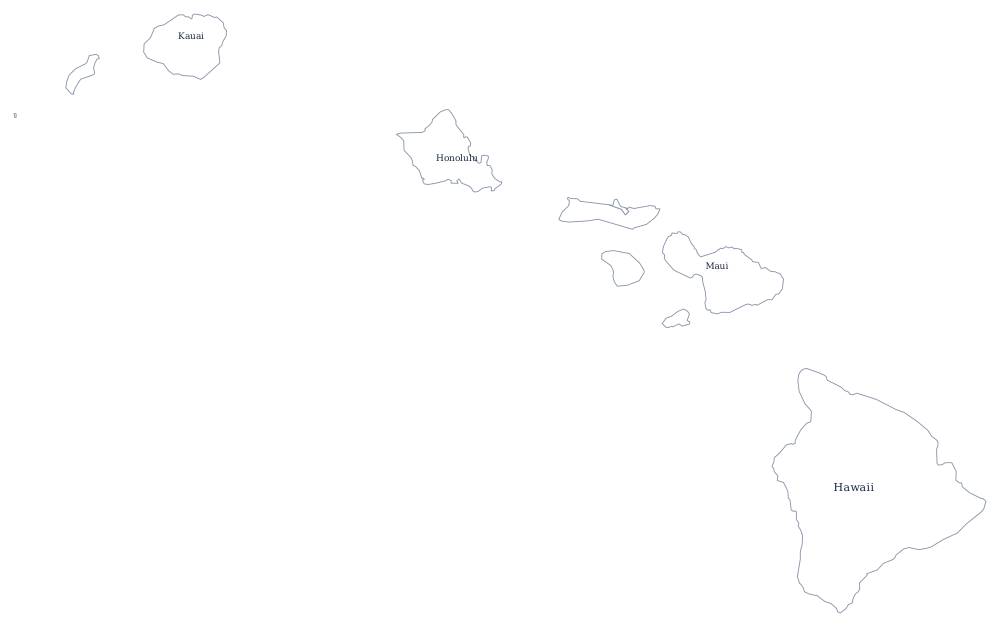
Hawaii is the only state outline with no border in it: eight separate coastlines strung out along fifteen hundred miles of open ocean.
Eight islands, one line of drift
Every other state sheet asks you to draw a boundary. This one does not. Hawaii's outline is nothing but coast, repeated eight times, and the arrangement of those coasts is the lesson: the islands sit in a line running from southeast to northwest, and they get smaller and lower as you move up the chain.
At the southeastern end is Hawaii itself, the island of Hawaiʻi, larger than all the others combined and the only one still being added to by active volcanoes. Northwest of it lie Maui, with its two joined volcanic masses and the narrow isthmus between them, then Kahoʻolawe, Lānaʻi and Molokaʻi clustered close enough that they were once part of a single larger island. Farther on is Oʻahu, with the deep indentation of Pearl Harbor on its south coast, and beyond that Kauaʻi and small Niʻihau at the northwestern end of the inhabited chain.
The order matters because it records the direction the Pacific plate is moving. The uninhabited Northwestern Hawaiian Islands continue the same line for well over a thousand miles beyond Kauaʻi, and most printed maps simply stop before them.
Hawaii is divided into five counties, one of which is essentially a single island — the Hawaii county map shows how the islands are grouped, and the Hawaii state page covers Honolulu and the volcanoes. For the other two states that sit off the main grid, print Alaska and California, the nearest mainland coast. The full index is on the blank US map hub, and Hawaii's capital is a giveaway in the state capitals quiz.