US Map / Blank US Map / Virginia
Blank Virginia Map
Virginia has to be drawn in two pieces: the mainland, and the tip of the Delmarva Peninsula that Chesapeake Bay cuts off from the rest of the state.
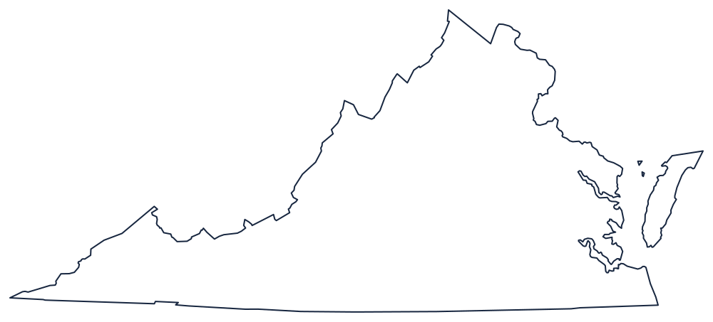
A triangle with a detached corner
The northern boundary is the Potomac River, and Virginia does not own it: Maryland's territory reaches the low-water mark on the Virginia bank, so the line traces Virginia's own shore past Alexandria and Mount Vernon down to the bay. Above and west of it the boundary with West Virginia is the most irregular in the East, following Allegheny ridge lines, the Shenandoah divide and the North Branch of the Potomac in a series of angles that reflect which counties voted which way in 1861.
The southern boundary is 36°30′, run straight west against North Carolina and Tennessee to a sharp point at Cumberland Gap, where three states meet in the mountains. That point is the southwestern tip of the long tail Virginia pushes between Kentucky and Tennessee.
The east is Chesapeake Bay and the Atlantic. The bay drives north through the middle of the state, opening the Rappahannock, York and James estuaries, and it separates the mainland from the two Eastern Shore counties on the tip of the Delmarva Peninsula — a detached piece of Virginia that shares a straight land boundary with Maryland and belongs on any accurate outline.
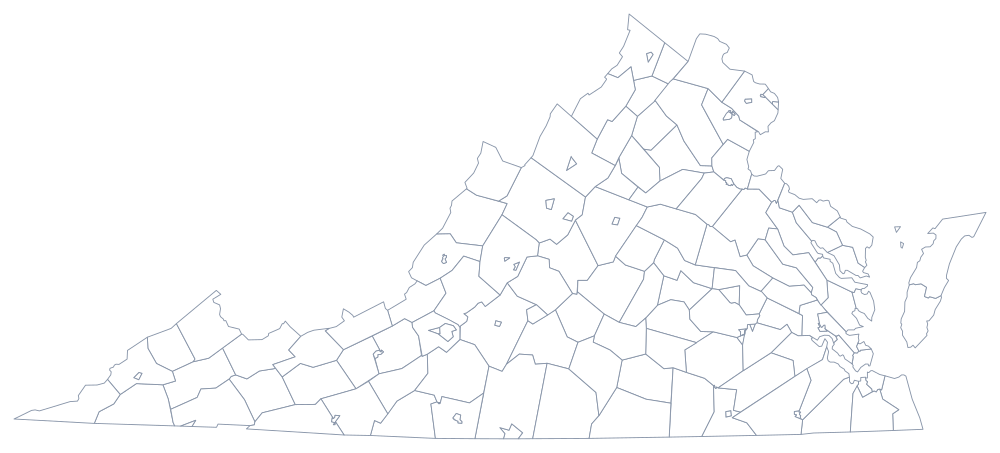
Virginia's 133 jurisdictions include 38 independent cities that sit outside any county, which the Virginia county map shows plainly; Richmond, the Piedmont and the Blue Ridge are on the Virginia state page. Print West Virginia, Maryland and North Carolina alongside it, or use the blank US map hub. The Southern states quiz covers the same seaboard.