US Map / Blank US Map / West Virginia
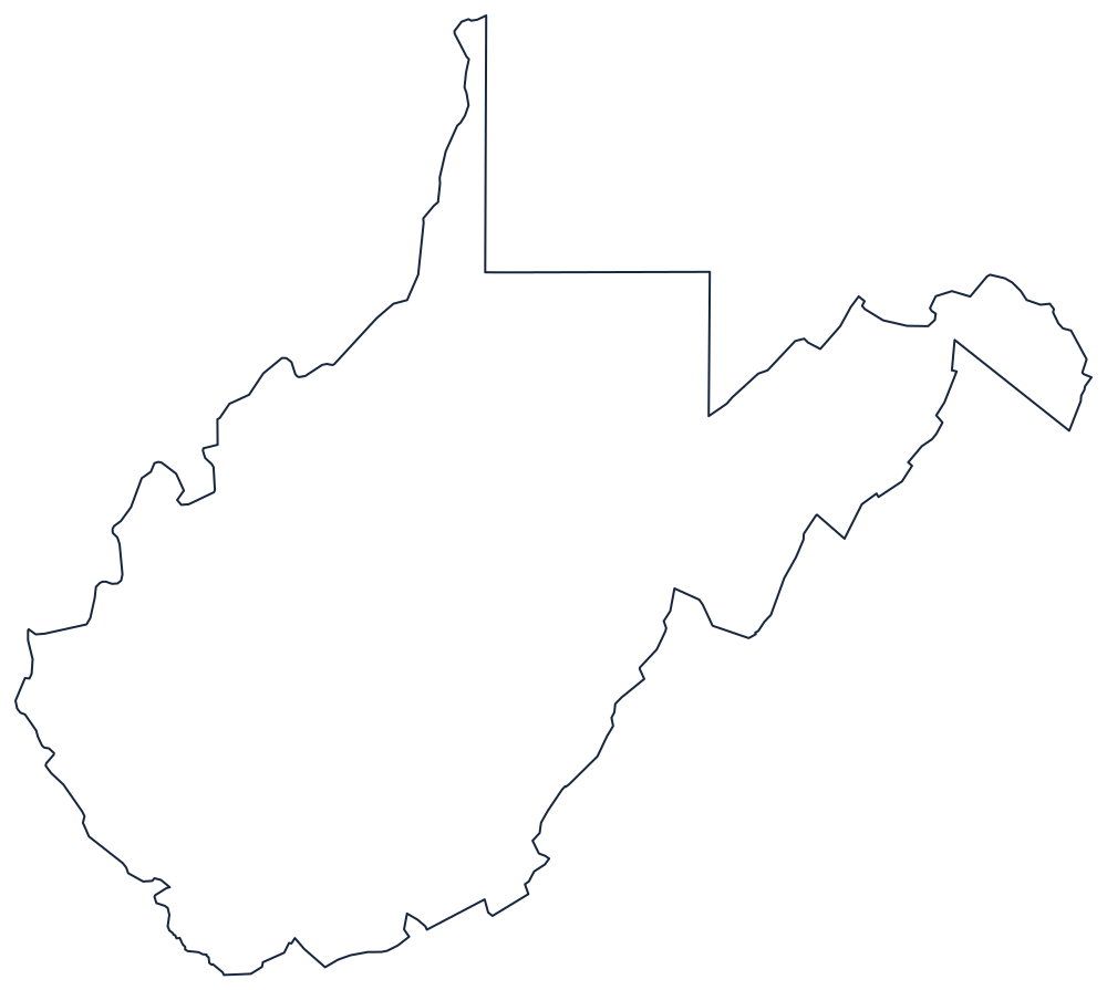
Blank West Virginia Map
No state outline looks less designed than West Virginia's: it is the shape a civil war left behind, with a panhandle pointing north and another pointing east.
Why the shape is so awkward
The western boundary is the Ohio River, followed from the Pennsylvania line down past Wheeling, Parkersburg and Huntington to the Kentucky corner, with the Big Sandy River turning the line south at the end. Like Ohio's, this boundary sits at the far bank rather than mid-channel for much of its length, a legacy of Virginia's original grant.
The northern panhandle is the narrow strip that runs up between Ohio and Pennsylvania to a point near Chester — in places only a few miles across. The eastern panhandle is the other one: a wedge reaching northeast between Maryland and Virginia to Harpers Ferry, where the Shenandoah meets the Potomac, bounded above by the North Branch of the Potomac and the Mason–Dixon Line.
Everything between is the boundary with Virginia, and it is unlike any other state line in the country: a chain of angles, ridge crests and county edges that traces which counties broke away in 1861 rather than any river, parallel or meridian. That is why the outline has to be copied carefully rather than reconstructed.
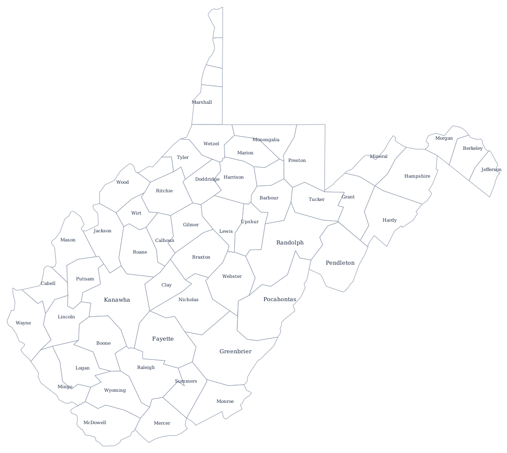
West Virginia's 55 county lines print from the West Virginia county map, and the coalfields, the Alleghenies and Charleston are on the West Virginia state page. Print Virginia to see the two halves fit back together, then Ohio and Maryland. The rest are on the blank US map hub, and West Virginia is one of the most missed shapes in the hardest states quiz.