US Map / Blank US Map / Nevada
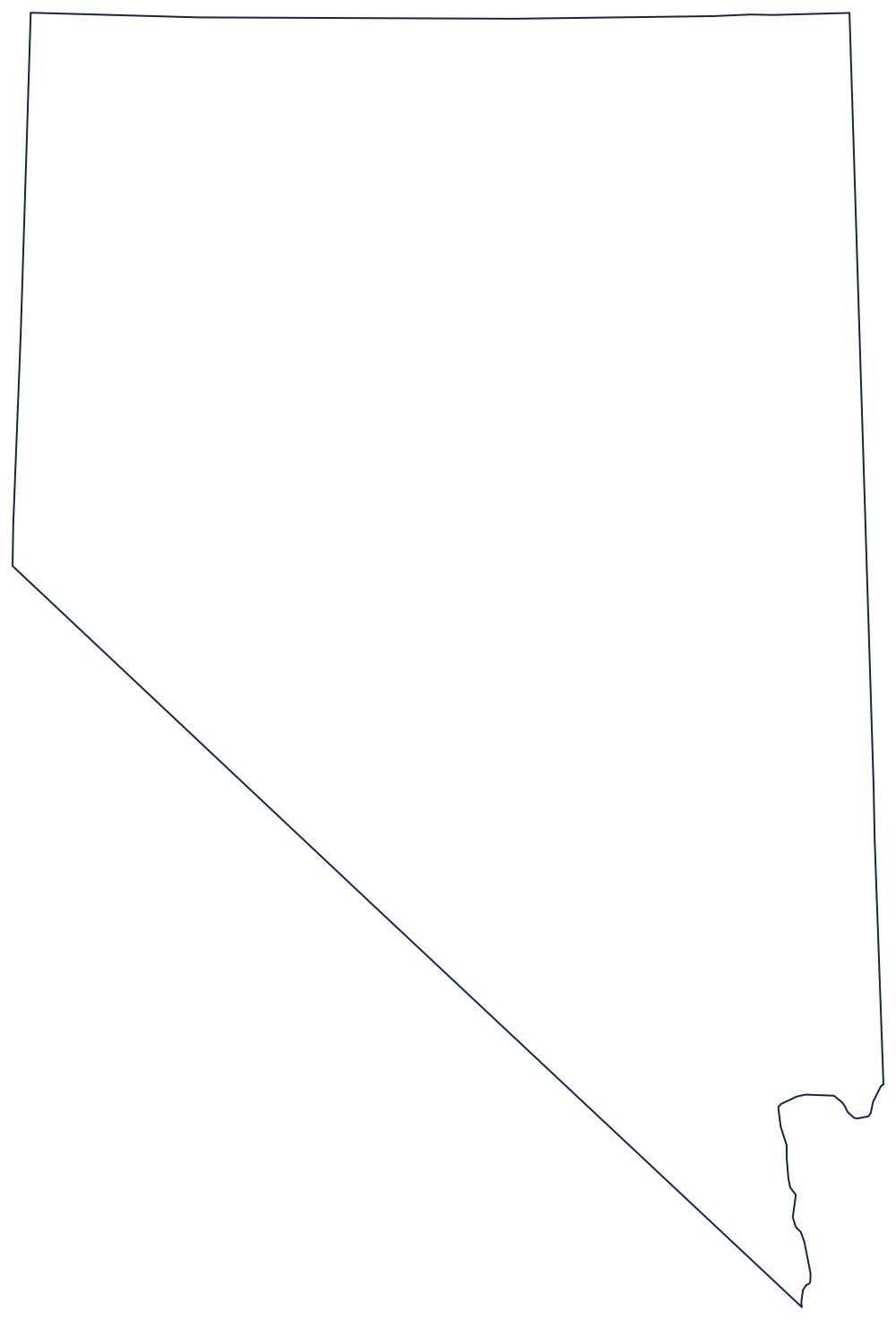
Blank Nevada Map
Nevada is a wedge: one long diagonal against California, three straight lines elsewhere, and a point at the bottom where the Colorado River closes it off.
The diagonal that defines it
The western boundary is the memorable one. From the Oregon corner the line runs south along the 120th meridian to a point near Lake Tahoe, then turns and runs southeast in one unbroken diagonal all the way to the Colorado River. That diagonal was meant to follow the Sierra Nevada crest and does not — it was surveyed as a straight line and cuts across the range — but it gives Nevada the slanted left side no other state has.
The north is the 42nd parallel, shared with Oregon and Idaho, the old northern limit of Spanish and then Mexican claims. The east is the 114th meridian against Utah, with the right angle at the top northeast corner where Utah's own square notch fits in. The south is short: below the diagonal the state narrows to a point at Laughlin, where the Colorado River separates it from Arizona.
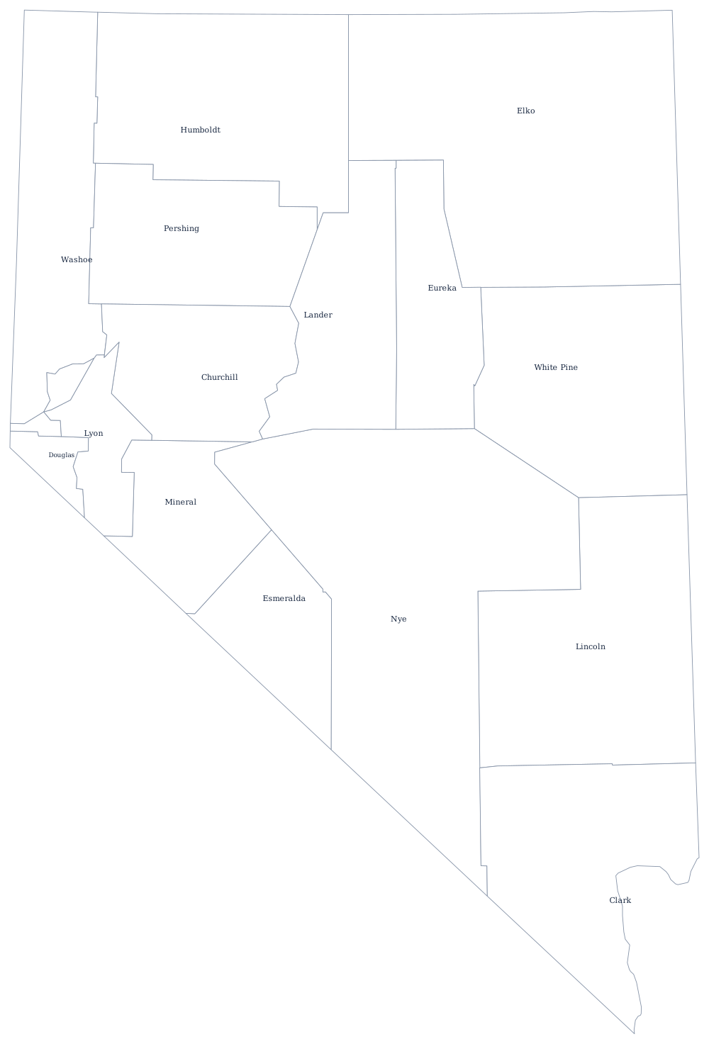
Nevada has only 17 counties and one independent city, Carson City, so the Nevada county map is nearly as plain as the outline. Basin and range topography, Las Vegas and the Great Basin are covered on the Nevada state page. The obvious companions are California, whose eastern edge is this same diagonal, plus Utah and Oregon. All 50 are on the index of all fifty outlines, and the Western states quiz uses the same shapes.