US Map / Blank US Map / Tennessee
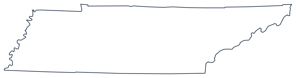
Blank Tennessee Map
Tennessee touches eight states, more than any other except Missouri, and it does it while being barely a hundred miles from top to bottom.
Long, thin, and bounded by three different things
The southern boundary is the 35th parallel, run straight across from the mountains to the Mississippi against Georgia, Alabama and Mississippi. The northern boundary was meant to be 36°30′ but is not: the Walker Line, surveyed in 1779 and 1780, drifted north of the intended latitude and picked up several offsets and jogs along the way. Those steps against Kentucky are the detail that separates a copied outline from a traced one.
The western boundary is the Mississippi River, with all the loops and cut-off bends that come with it — a fringe of oxbows around Memphis and north toward the Missouri Bootheel. The eastern boundary is the opposite kind of line: the crest of the Unaka and Great Smoky mountains against North Carolina, wandering along a watershed divide rather than a survey.
Between them the state is only about 110 miles from north to south and more than 400 across, which is why it is drawn in three parts — East, Middle and West Tennessee — with the Tennessee River entering, running south into Alabama and coming back north across the western third.
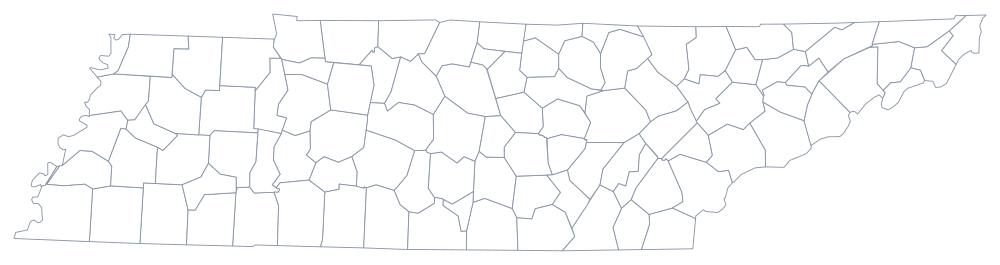
The 95 county lines print from the Tennessee county map, and Nashville, Memphis and the Smokies are on the Tennessee state page. Print Kentucky to see the Walker Line from the other side, then North Carolina and Arkansas. The rest are on the blank US map hub, and the Southern states quiz uses the same eight-way junction.