US Map / Blank US Map / New York
Blank New York Map
New York touches two Great Lakes, the St. Lawrence, the Atlantic and five states, and the outline changes rule at almost every corner.
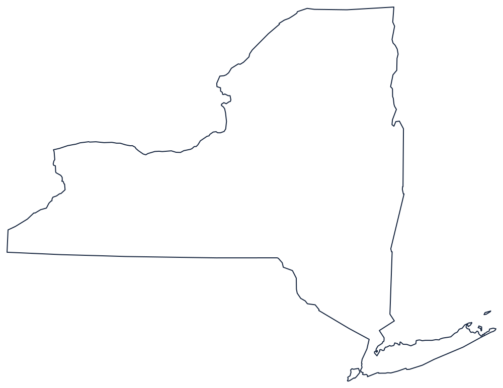

Five kinds of boundary on one sheet
The northern edge is two things. From Lake Ontario the St. Lawrence River carries the Canadian border northeast to a point near Cornwall, where the line leaves the water and becomes the 45th parallel, running dead east to Lake Champlain. The lake then turns south and forms most of the boundary with Vermont — a long, thin body of water that has to be drawn as a line, not a shape.
The west is lake shore: Lake Erie from the Pennsylvania corner to Buffalo, then the Niagara River north to Lake Ontario, then the whole southern shore of that lake. The south is a surveyed line, the 42nd parallel, running from Lake Erie east across Pennsylvania until it reaches the Delaware River, which takes the boundary southeast to the New Jersey corner. The eastern boundary with Massachusetts and Connecticut is another straight survey line, with one step where Connecticut's panhandle pushes west.
Then there is the part everyone knows. The Hudson runs south to New York Harbor, and below it lie Staten Island and Long Island — 118 miles long, enclosing Long Island Sound, and the piece most often drawn too short.
All 62 counties, five of them New York City boroughs, are on the New York county map, and the Adirondacks, the Hudson Valley and the city are covered on the New York state page. Print Pennsylvania, Vermont and New Jersey to fit the edges; the rest are on the blank US map hub. The Northeast quiz covers the same states.