US Map / Blank US Map / Indiana
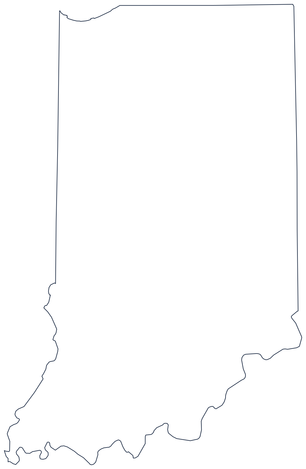
Blank Indiana Map
Indiana's southern edge belongs to Kentucky: the Ohio River boundary sits on the far bank, not in midstream.
Two rivers and two ruled lines
The bottom of Indiana is the Ohio River, curving from the Illinois corner east to Cincinnati, and it hides a legal oddity worth telling a class about. The boundary is not the middle of the channel. Virginia kept the whole river when it ceded the land north of it, so the line sits at the low-water mark on the Indiana side as it stood in 1792 — the water is Kentucky's, right up to the northern bank.
The southwestern boundary is the Wabash River, running up from the Ohio to a point near Vincennes and beyond, dividing Indiana from Illinois before a surveyed meridian takes over and finishes the western side. The eastern boundary with Ohio is a straight line of the same kind, run north to the Michigan border.
The top is ruled too, and it was moved: the line was shifted about ten miles north of the Lake Michigan tip so that Indiana would have a lakefront, which is the whole reason the northwest corner of the outline touches water at all. That short frontage is where Gary and the Indiana Dunes sit.
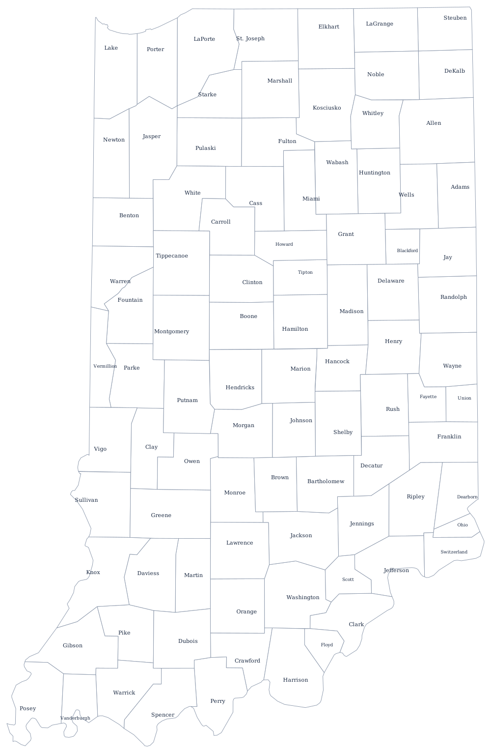
The 92 counties are on the Indiana county map, and Indianapolis, the till plains and the limestone belt are on the Indiana state page. The neighbors across those rivers print here as well: Kentucky, Illinois and Ohio. The complete list lives on the printable blank map page, and the Midwest quiz is where the near-identical rectangles of the Old Northwest start to bite.