US Map / Blank US Map / New Mexico
Blank New Mexico Map
New Mexico is a square that lost an argument twice: once at the bottom left, where a bootheel hangs down, and once at the bottom right, at El Paso.
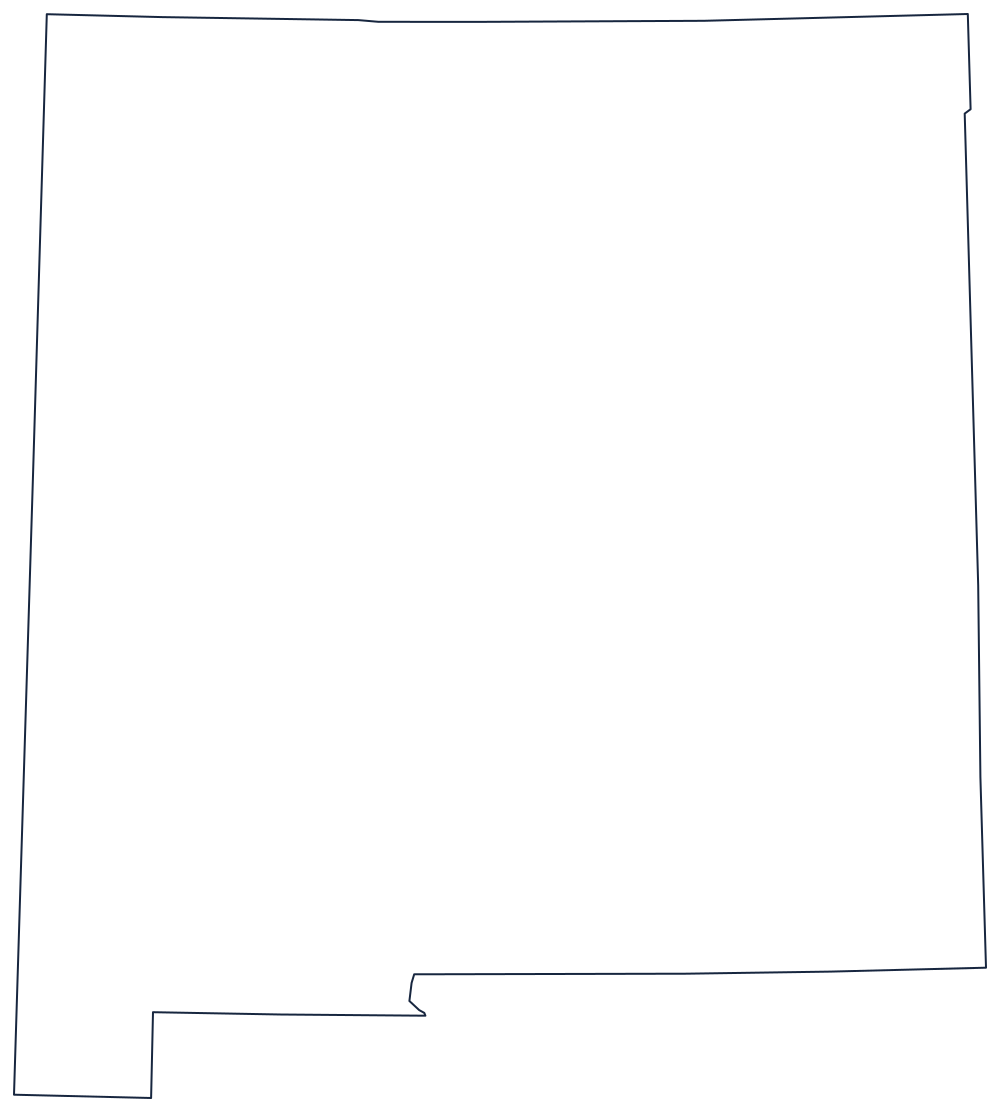
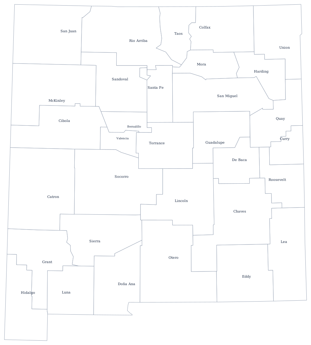
The square and its two exceptions
Draw the box first. The north is the 37th parallel, shared with Colorado and ending at the Four Corners. The west is the 109th meridian against Arizona. The east is the 103rd meridian against Oklahoma and the Texas panhandle, though the surveyed line sits a couple of miles off the true meridian and has a small offset in it where two surveys met.
Now the exceptions. Along the bottom the boundary runs west on the 32nd parallel from Texas, then turns and drops in a step to enclose the bootheel — the block of land in the far southwest corner that came with the Gadsden Purchase of 1853, bought to secure a southern railroad route. It is the one part of the outline nobody draws from memory.
The southeastern corner is the other oddity. Below the 32nd parallel the boundary runs down the Rio Grande, which is why Texas comes up around El Paso and New Mexico's corner is cut off diagonally rather than squared.
Inside the box the Rio Grande runs the length of the state from the Colorado line to the border, which is the first line to add after the outline. The 33 county boundaries print from the New Mexico county map, and the high desert, Albuquerque and the Sangre de Cristos are on the New Mexico state page. Print Arizona, Colorado and Texas to see how the corners meet; the index is on the blank US map hub. The Western states quiz uses the same block.