US Map / Blank US Map / Oklahoma
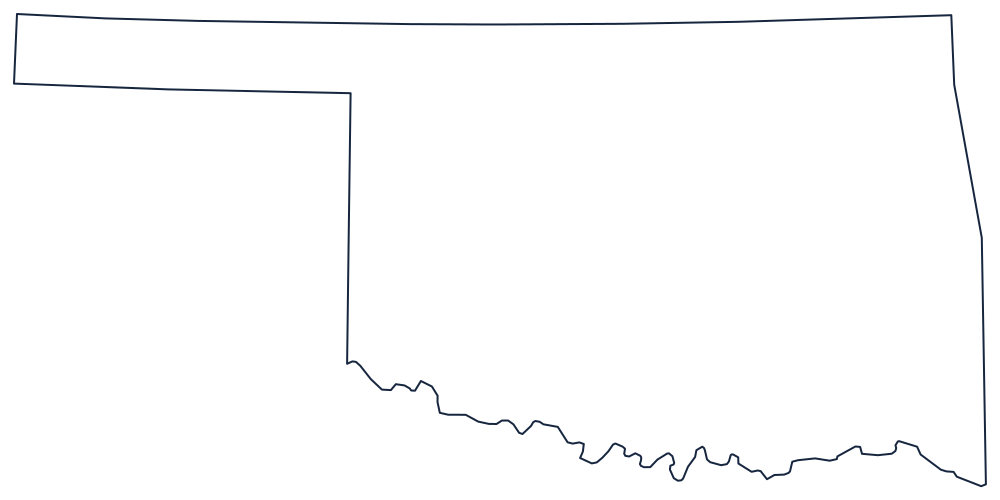
Blank Oklahoma Map
Oklahoma's panhandle is 34 miles tall and 168 long because Texas was not allowed to keep land north of 36°30′, and nobody else wanted it either.
How the panhandle happened
The main body of the state is bounded by survey lines on three sides. The north is 37° against Kansas and Colorado; the east is a meridian against Missouri and Arkansas, with a stretch along the Arkansas River near Fort Smith; and the south, for its western half, runs on the 100th meridian against the Texas panhandle after a long argument about which fork of the Red River counted.
The southern boundary itself is the Red River, following its south bank eastward from the 100th meridian to the Arkansas corner. Because the boundary was fixed at the south bank rather than mid-channel, and because the river shifts, the line has been litigated repeatedly — and it gives the bottom of the outline its wandering edge against the straight lines everywhere else.
The panhandle is the giveaway. When Texas entered the Union it had to give up everything above 36°30′; the resulting strip, bounded by 36°30′ below, 37° above, and meridians at each end, belonged to no state or territory for forty years and was called No Man's Land until it was attached to Oklahoma Territory.
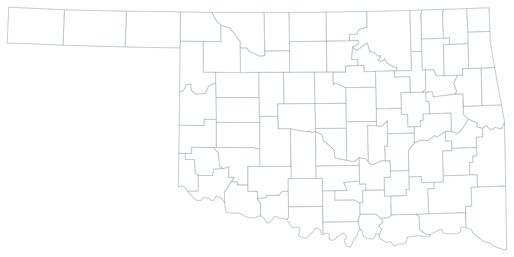
The 77 county lines are on the Oklahoma county map, and the plains, the Ouachitas and Oklahoma City are on the Oklahoma state page. Print Texas to see the two panhandles side by side, then Kansas and Arkansas. The full list is on the blank US map hub, and the panhandle makes Oklahoma an easy mark in the easiest states quiz.