US Map / Blank US Map / Washington
Blank Washington Map
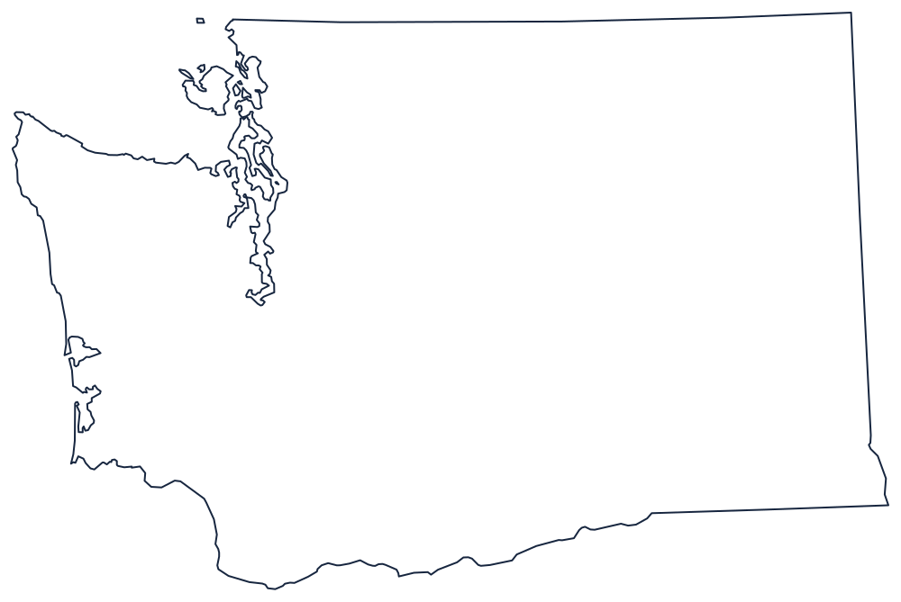
Washington's northern boundary is a ruled line that runs out to sea, strands a village on the wrong side of it, then dodges around the San Juan Islands.
Straight lines, then a very complicated coast
The north is the 49th parallel, run west from Idaho to the sea. At the coast it clips the end of a peninsula, leaving Point Roberts as American territory reachable overland only through Canada, and then the boundary turns into the water and threads south and west between the San Juan Islands and Vancouver Island before running out through the Strait of Juan de Fuca.
The south is the Columbia River, from the Pacific at the Astoria bar upstream through the gorge to the point near Wallula where the river turns north; from there the boundary leaves the water and runs east on the 46th parallel to the Snake River, which carries it a short way before the eastern boundary becomes a straight meridian against Idaho.
The west is the part that makes the shape. The Pacific coast runs north to Cape Flattery around the blunt mass of the Olympic Peninsula; behind it, Puget Sound reaches nearly a hundred miles inland in a branching system of inlets and islands, with Whidbey Island and the Kitsap Peninsula between the sound and the strait. It is the most intricate coastline on any state outline outside Alaska and Maine.
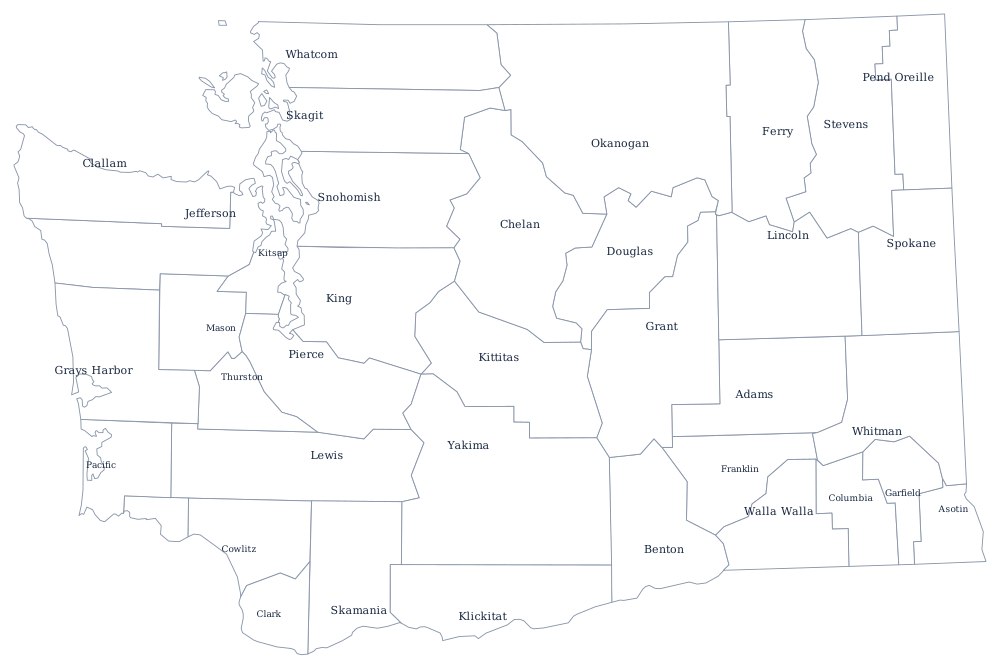
The 39 county lines print from the Washington county map, and Seattle, the Cascades and the dry Columbia Plateau are on the Washington state page. Print Oregon for the far bank of the Columbia and Idaho for the eastern line; everything else is on the printable blank map page. The Western states quiz covers the Pacific corner.