US Map / Blank US Map / Nebraska
Blank Nebraska Map
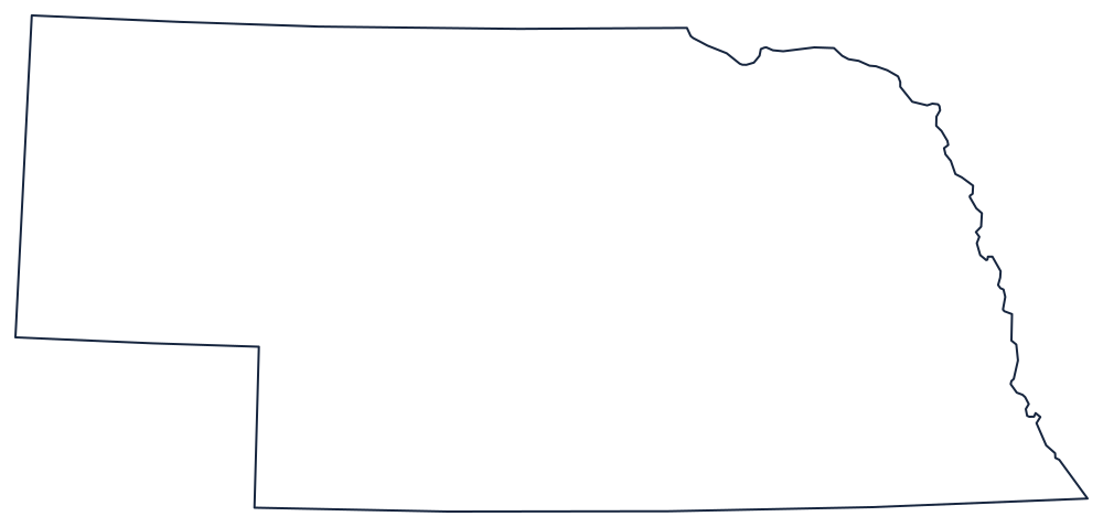
Nebraska looks like a saucepan, and the handle exists because a straight line was drawn to keep Colorado a rectangle.
Why the panhandle is there
Nebraska's northern boundary is the 43rd parallel against South Dakota for most of its length, then drops to the Missouri River, which curves southeast to Sioux City and then runs the entire eastern side of the state against Iowa and Missouri. That river edge is the only irregular line on the sheet and it is where the outline's character comes from.
Everything else is ruled. The southern boundary is the 40th parallel, straight across against Kansas and Colorado. On the western side the line steps: at the Colorado corner it runs north along the 102nd meridian, then jogs west along the 41st parallel, then north again on the 104°03′ line to the Wyoming and South Dakota corners. That double step is what makes the panhandle, and it was cut simply to leave Colorado and Wyoming as clean rectangles.
The Platte River, running west to east across the middle, is not a boundary but it is the feature to add first once the outline is labeled — the corridor that the Oregon and Mormon trails and later the Union Pacific all followed.
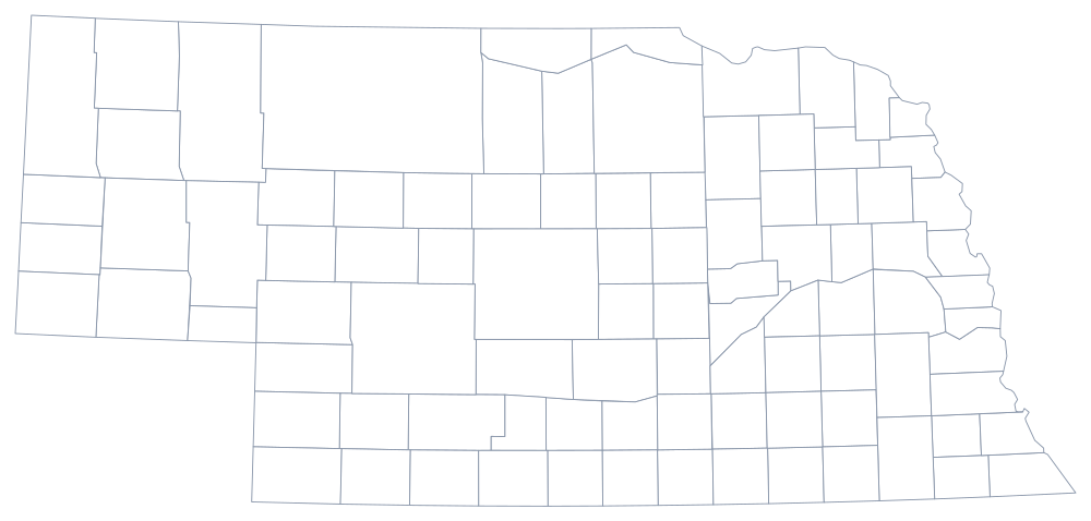
All 93 county lines print from the Nebraska county map, and the Sand Hills, Omaha and the Platte valley are on the Nebraska state page. Fit it against Kansas, Iowa and Wyoming; the full list is on the blank US map hub. The hardest states quiz is where the Plains states usually come apart.