US Map / Blank US Map / Iowa
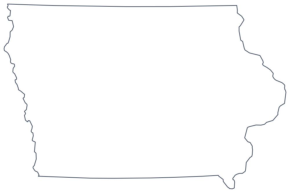
Blank Iowa Map
Iowa is the only state with a great river on each of its long sides — the Mississippi east, the Missouri west, and straight lines top and bottom.
Rivers left and right, surveys top and bottom
Both of the state's long edges are water. On the east the Mississippi runs the whole length, from the Minnesota corner down to the Missouri line, and its meander scars make that side of the outline visibly wavy. On the west the Missouri River does the same job against Nebraska, with the Big Sioux River carrying the northwestern stretch up to the South Dakota corner. That symmetry is unusual, and it is why the state was once described as the land between two rivers.
The top and bottom are surveyor's lines. The northern boundary with Minnesota sits on 43°30′ and runs dead straight. The southern boundary is nearly straight too, but it has a story: the Sullivan Line was disputed with Missouri to the point of a bloodless standoff in 1839 known as the Honey War, and the Supreme Court eventually fixed it where it now runs. At the southeastern end the Des Moines River takes over and angles down to the Mississippi.
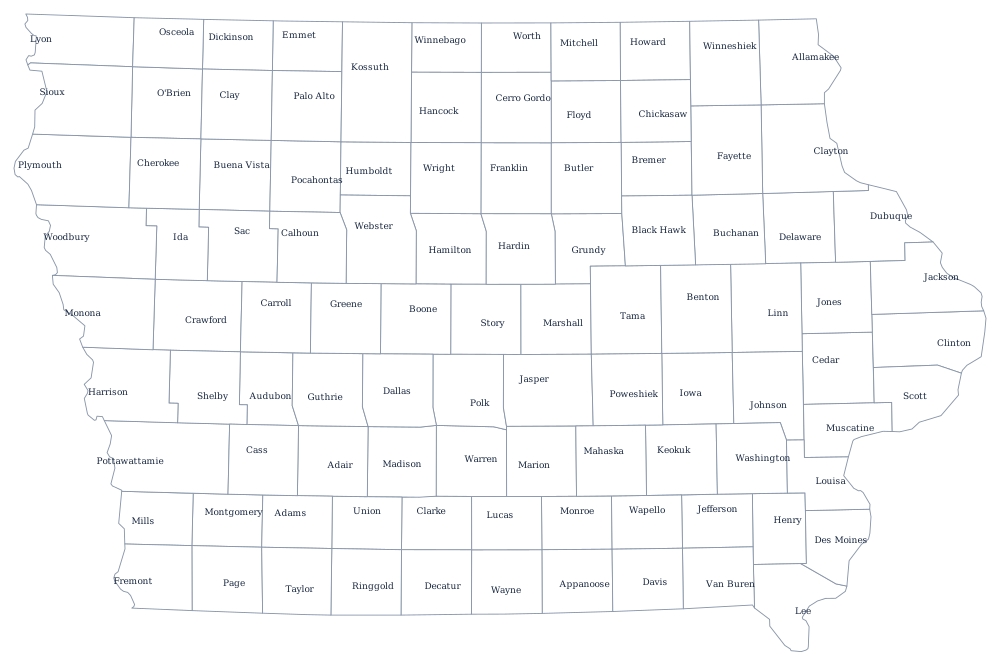
Because the boundaries are so simple, the internal grid does the work: Iowa's 99 counties are laid out in tidy rows on the Iowa county map, one of the clearest examples of township-and-range planning in the country. The Iowa state page covers Des Moines and the loess country. Print Nebraska, Minnesota and Wisconsin to see the same rivers from the far bank, or open the blank US map hub. The Midwest quiz uses these shapes unlabeled.