US Map / Blank US Map / Vermont
Blank Vermont Map
Vermont is a wedge that tapers from a wide northern boundary to a narrow southern one, with a lake down one flank and a river down the other.
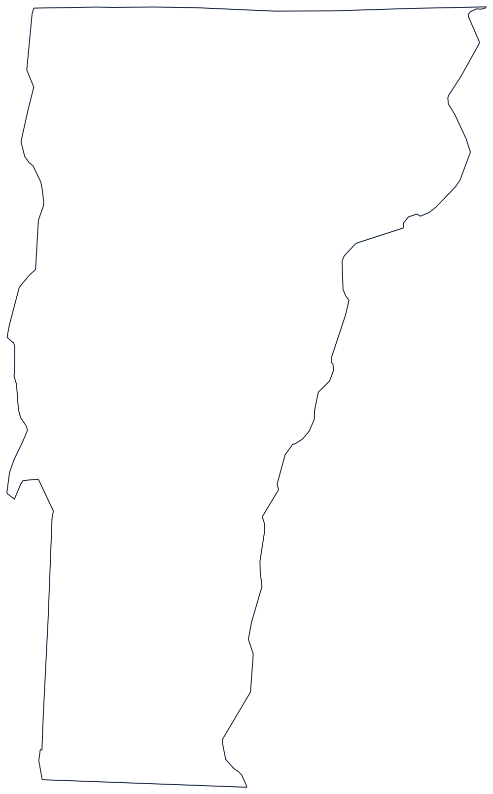
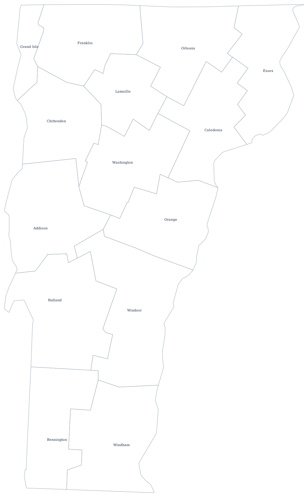
Lake on the left, river on the right
The eastern boundary is the Connecticut River, but Vermont does not own any of it: New Hampshire's territory reaches the low-water mark on the Vermont bank, so the line runs along Vermont's own shore. It bends the whole way from the Massachusetts corner to the Canadian line, and it is the harder of the two long sides to draw.
The western boundary starts as a survey line against New York in the south, then meets Lake Champlain and follows it north for more than a hundred miles, threading between the Vermont mainland and the New York shore and leaving the Champlain Islands — Grand Isle, North Hero, Isle La Motte — on the Vermont side. Below the lake the boundary continues as a straight line to the Massachusetts corner.
The north is the 45th parallel, or rather the line surveyed for it, which runs slightly north of the true parallel and was accepted as the border in 1842 rather than re-run. The south is a plain straight line against Massachusetts. The Green Mountains run the length of the state between the lake and the river.
Vermont has 14 counties — see the Vermont county map — and Burlington, the Champlain valley and the Northeast Kingdom are on the Vermont state page. Print New Hampshire, whose western edge is this same river, then New York and Massachusetts. The full list is on the index of all fifty outlines, and Vermont and New Hampshire are the classic swap in the Northeast quiz.