US Map / Blank US Map / North Dakota
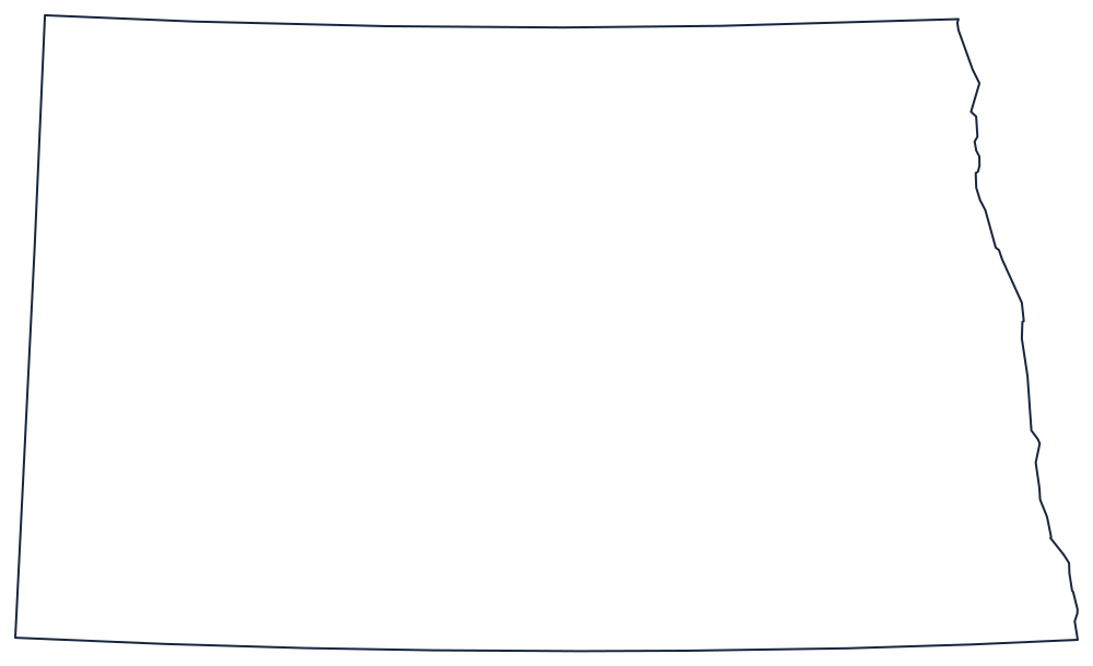
Blank North Dakota Map
North Dakota is the closest thing the country has to a drawn rectangle with one wobble: the Red River flows north along the entire eastern side.
Three ruled lines and a river
The north is the 49th parallel, the Canadian border, straight across the top. The west is the meridian at 104°03′, shared with Montana and continued south by South Dakota. The south is not a round parallel at all but the seventh standard parallel of the public land survey, near 45°56′ — the line the townships had already been laid out from when Dakota Territory was split in 1889, so it was easier to divide along it than along a parallel.
The eastern boundary is the exception and the only interesting line on the sheet. The Red River of the North runs north along the Minnesota border through the flat bed of glacial Lake Agassiz, and because the valley has almost no gradient the river meanders heavily; the boundary follows every loop. Above the river's headwaters the line jumps southeast along the Bois de Sioux and through Lake Traverse to the South Dakota corner.
The Missouri River is not a boundary here, but it is the feature to add first: it enters from Montana, swings past Bismarck and leaves for South Dakota, dividing the flat eastern half from the Badlands and the Missouri Plateau in the west.
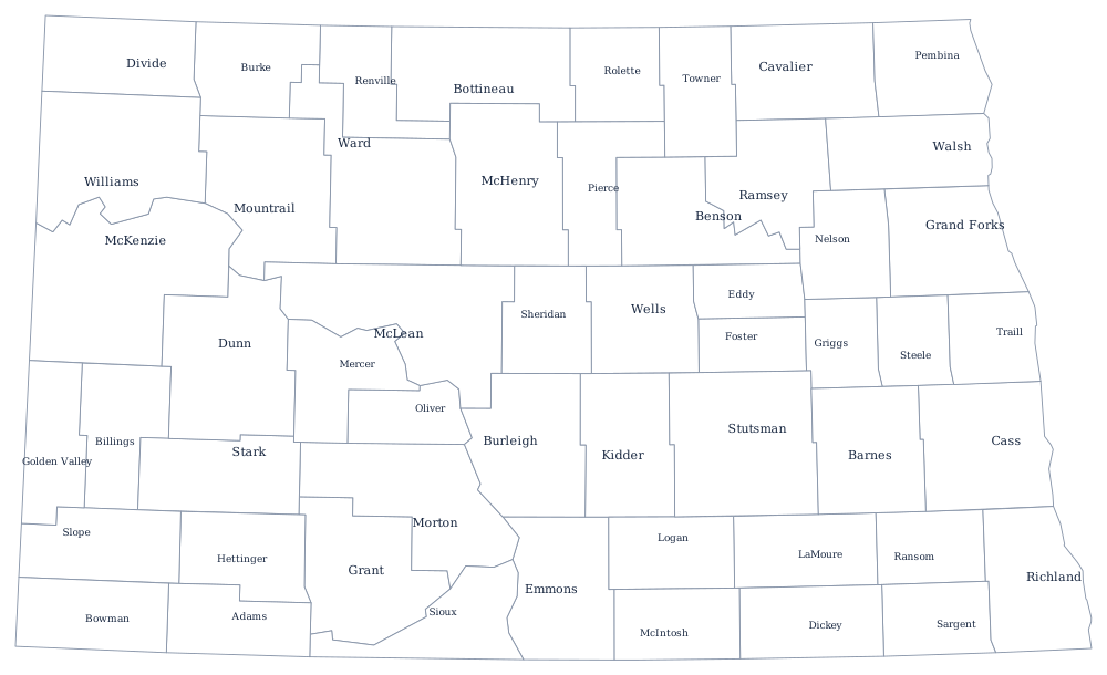
The 53 county lines print from the North Dakota county map, and the oil country, the Red River Valley and Fargo are on the North Dakota state page. Print South Dakota, Minnesota and Montana to see how the survey lines line up. The full index is on the blank US map hub, and the two Dakotas are reliable confusions in the hardest states quiz.