US Map / Blank US Map / South Carolina
Blank South Carolina Map
South Carolina is a triangle standing on one point, with a river down one side, a staircase along another and the Atlantic closing the third.
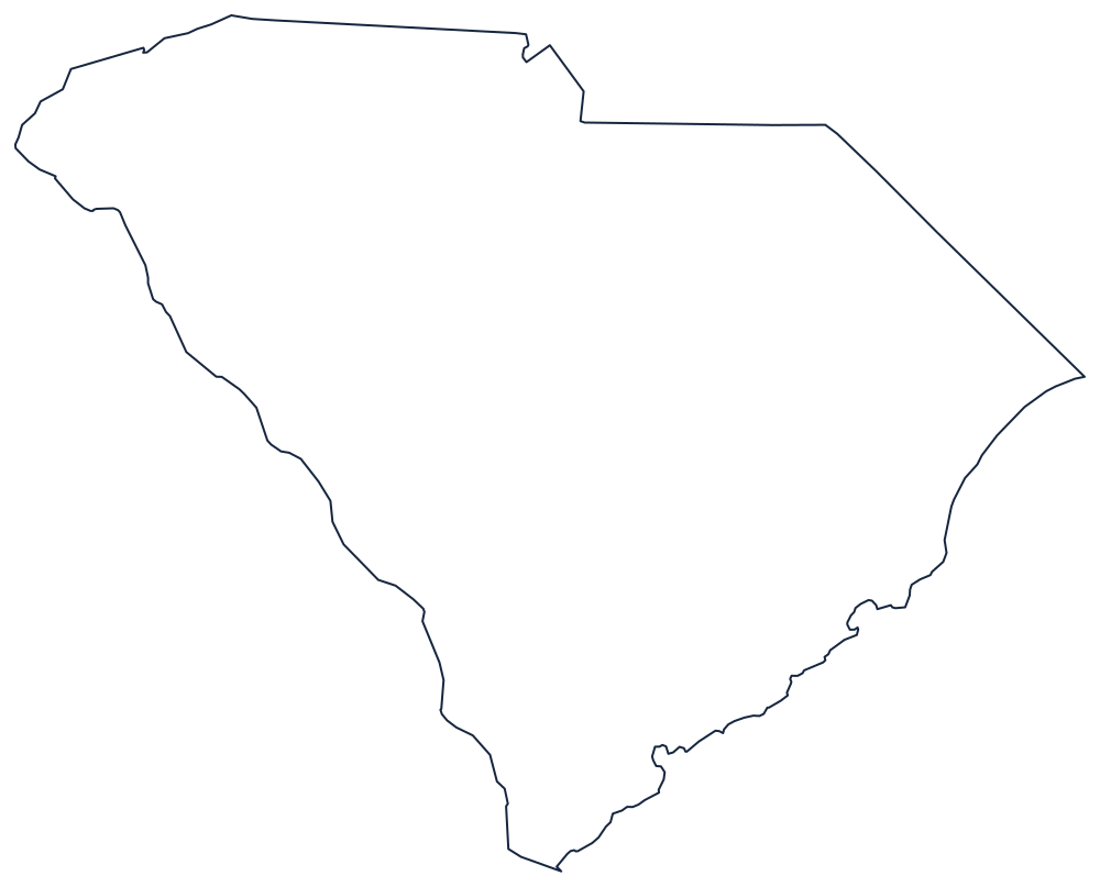
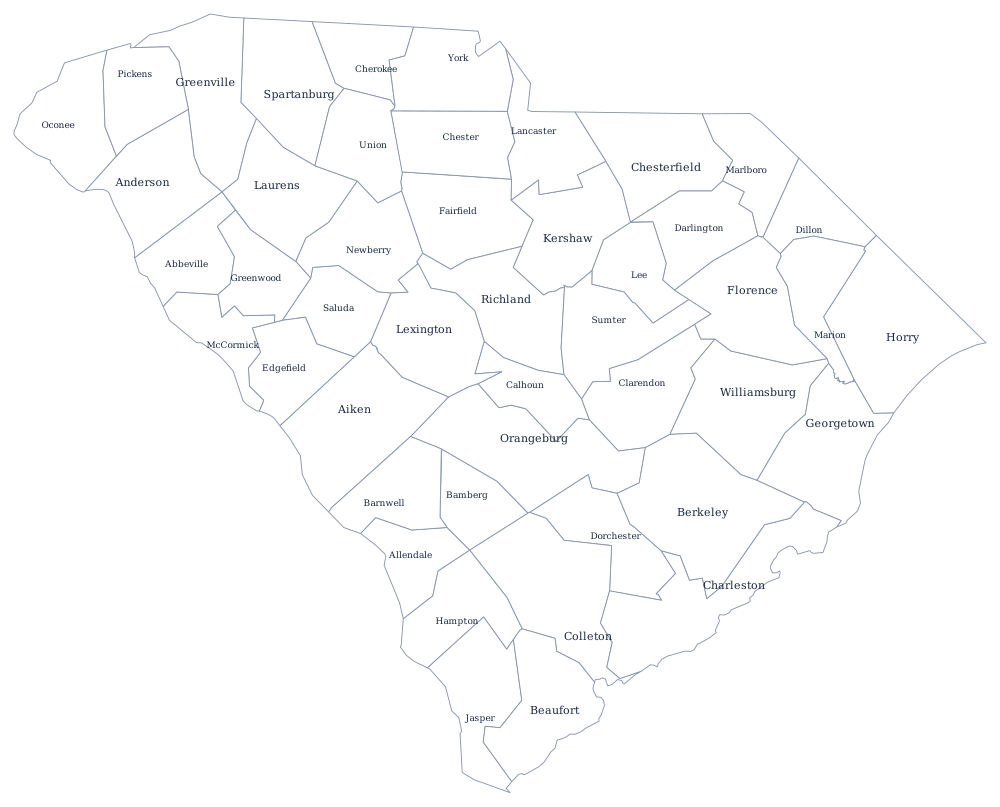
Three sides, and only one of them straight
The southwestern boundary is the Savannah River, followed upstream from the Atlantic past Augusta and on into the mountains, where it becomes the Tugaloo and then the Chattooga. Georgia holds the river itself, so the line runs along the South Carolina bank — and because the river is dammed into a chain of reservoirs, the modern boundary threads through the middle of long, branching lakes.
The northern boundary against North Carolina is the staircase. Surveyed in stages from the 1730s, it climbs from the coast on a diagonal, steps north, runs west in a long straight stretch, then bends again near the old Catawba lands before reaching the mountains at the state's northwestern point. The two states re-marked it in modern times and a handful of houses changed states in the process.
The coast is the third side: about 190 miles of shoreline running southwest from Little River to the Savannah, low and broken, with Winyah Bay, Charleston Harbor and a screen of sea islands — Kiawah, Edisto, Hilton Head — behind which the marshes and creeks make the mainland edge very hard to draw precisely.
The 46 county lines print from the South Carolina county map, and Charleston, the Upstate and the Lowcountry are on the South Carolina state page. The two neighbors are North Carolina and Georgia; the whole set is on the blank US map hub. The Southern states quiz covers the same Atlantic seaboard.