US Map / Blank US Map / Minnesota
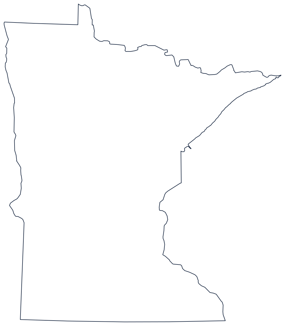
Blank Minnesota Map
Minnesota carries the one piece of the lower 48 that sits north of the 49th parallel, and it exists because a treaty was written from a bad map.
The Northwest Angle and the rest
Start at the top. Minnesota's northern boundary is the 49th parallel — except at the western end, where it jumps up around the Lake of the Woods and encloses the Northwest Angle, a block of land reachable overland only through Canada. It is there because the 1783 treaty assumed the Mississippi rose further north than it does, and the correction left a rectangle hanging above the line. Draw it or the outline is wrong.
East of the lake the boundary follows the Rainy River and the chain of border lakes to Lake Superior, and the shoreline from Grand Portage down to Duluth makes the arrowhead — the state's most distinctive edge. South of Duluth the line with Wisconsin runs down the St. Croix River and then the Mississippi, which the two states share all the way to the Iowa corner.
The west is simpler: the Red River of the North flows north along the North Dakota boundary, and below it a straight meridian runs down to the South Dakota line, with one step where it meets the Big Stone Lake stretch. The south is a plain parallel across to Iowa.
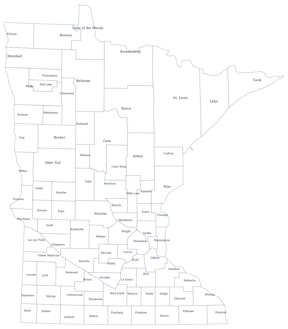
The 87 county lines are on the Minnesota county map, and the lakes, the Iron Range and the Twin Cities are covered on the Minnesota state page. Print Wisconsin, North Dakota and Iowa to fit the edges together; everything else is on the blank US map hub. The Midwest quiz drills the same block of states.