New York Map
A state that runs from the Atlantic surf of Long Island to the Niagara gorge, with the Adirondacks in between. Capital: Albany. Largest city: New York City.
New York at a glance
| Capital | Albany |
| Largest city | New York |
| Abbreviation | NY |
| Population | 19,867,248 (2024 Census estimate) |
| Land area | 47,126 sq mi |
| Region | Northeast (Mid-Atlantic division) |
| Time zone | Eastern Time (UTC−5, UTC−4 in summer) statewide |
| Counties | 62 counties |
| Statehood | 1788 (11th state) |
| Borders | Connecticut, Massachusetts, New Jersey, Pennsylvania, Vermont, plus Ontario and Quebec, Lakes Erie and Ontario, and the Atlantic Ocean |
Major cities
New York’s population is extraordinarily lopsided. New York held 8,478,072 people in 2024 — more than 40 percent of the state’s 19.87 million, on about 300 square miles — and its five boroughs are also five of the state’s 62 counties. Add the Long Island counties of Nassau and Suffolk and the Hudson Valley suburbs and the downstate share passes two-thirds. Upstate, the second city is Buffalo (276,617), at the eastern end of Lake Erie; Rochester, Yonkers and Syracuse follow. Albany, the capital since 1797, is a city of under 100,000 at the head of Hudson River navigation. The old Erie Canal line through the Mohawk Valley still explains the upstate map: Albany, Utica, Syracuse, Rochester and Buffalo are beads on that one route, and almost nothing large lies off it.
Geography
New York contains more distinct terrain than any other northeastern state. The Adirondacks in the northeast are a domed uplift of ancient rock, geologically separate from the Appalachian Mountains, topped by Mount Marcy at 5,344 feet and enclosed by Adirondack Park — roughly six million acres, the largest park in the contiguous United States. The Catskills sit south of the Mohawk, and between the two the Mohawk Valley provides the only near-sea-level break in the Appalachian barrier, the gap the Erie Canal used in 1825 to link the Hudson to Lake Erie. The Hudson River runs about 315 miles from the Adirondacks to New York Harbor and is tidal for the last 153 of them, as far as Troy. South and west of Syracuse the eleven Finger Lakes lie in parallel north-south glacial troughs; Seneca Lake is the deepest at around 618 feet. Lakes Erie and Ontario give the state a long frontage on the Great Lakes, joined by the Niagara River, where the Horseshoe Falls drop about 167 feet. Long Island, 118 miles end to end, is the largest island in the contiguous United States and carries the state’s only true Atlantic coast.
Printable New York maps
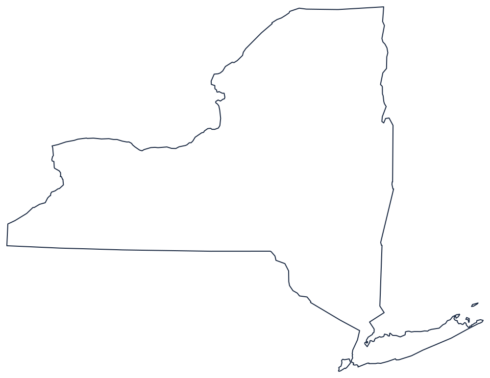

Long Island and the Niagara frontier are both included, so the outline works for labeling the whole state rather than just the upstate block. The county file draws all 62 county boundaries as unlabeled outlines, ready to fill in. A larger printable sheet with notes on how the borders were drawn is at blank New York map, and the populated version is on the New York county map page.
Neighboring states
New York borders Vermont across Lake Champlain, Massachusetts and Connecticut on the east, New Jersey and Pennsylvania on the south, and Ontario and Quebec to the north. The Pennsylvania line is the 42nd parallel except where the Delaware River takes over in the southeast, and the state also meets Rhode Island out in Block Island Sound, a boundary that exists only on the water. Compare the other Mid-Atlantic states, return to the US map with states, or check your recall with the Northeast map quiz.