US Map / County Maps / New York
New York County Map
Five of New York's 62 counties have no county government at all. They are the boroughs of New York City.

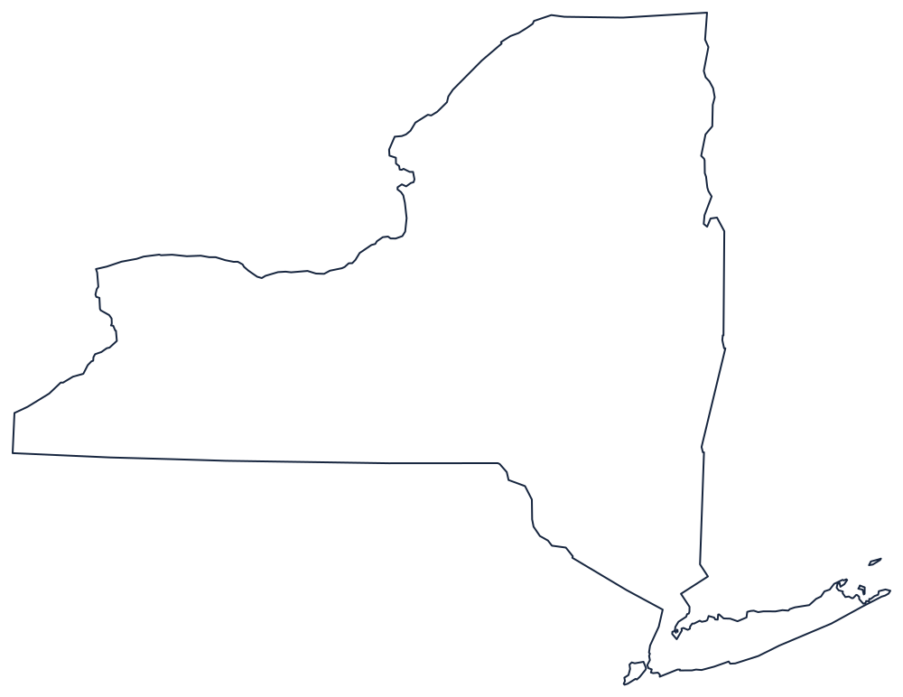
New York's first twelve counties were created in 1683 under the Duke of York, and ten of them still exist by name. The rest were cut from the Albany and Tryon county lands as settlement pushed west along the Mohawk and into the Military Tract, the land the state gave Revolutionary War veterans, which is why so many central New York towns are named Homer, Cicero, Ovid, and Ulysses. The last county created was the Bronx, in 1914.
The 62 counties of New York
Five of the ten largest are New York City boroughs, and they have no county seat because they have no county government — the city performs every county function inside them. Kings County is Brooklyn, Queens County is Queens, New York County is Manhattan, Bronx County is the Bronx, and Richmond County is Staten Island.
| County | County seat | Population (2024 estimate) |
|---|---|---|
| Kings County | None — the New York City borough of Brooklyn | 2,617,631 |
| Queens County | None — the New York City borough of Queens | 2,316,841 |
| New York County | None — the New York City borough of Manhattan | 1,660,664 |
| Suffolk County | Riverhead | 1,535,909 |
| Nassau County | Mineola | 1,392,438 |
| Bronx County | None — the New York City borough of the Bronx | 1,384,724 |
| Westchester County | White Plains | 1,006,447 |
| Erie County | Buffalo | 950,602 |
| Monroe County | Rochester | 752,202 |
| Richmond County | None — the New York City borough of Staten Island | 498,212 |
Boroughs, and 57 counties that still govern
The consolidation of Greater New York on 1 January 1898 merged five counties into one city. Their county governments were progressively stripped out over the following century: the boards of supervisors went, the sheriffs became city officers, the county clerks became clerks of the state courts, and by the 1990s the only county-wide elected official left in each borough was the district attorney. The counties survive because the state constitution and the court system are organized around them, and because the Census Bureau needs a unit to count. The borough president, elected in each, is a city office, not a county one.
Outside the city the counties are strong. Nineteen have adopted charters with an elected county executive; the rest are run by legislatures or, in a handful of rural counties, by boards of supervisors made up of the town supervisors themselves, voting with weights proportional to their towns' populations. New York counties pay a large share of Medicaid — an unusual burden the state imposes on them — which is why county property tax rates upstate are among the highest in the country.
Largest and smallest counties
Kings County is the most populous at 2,617,631 in the 2024 estimates: Brooklyn, which would be the fourth-largest city in the United States if it were still one. Queens County, Queens, is second at 2,316,841, and the five boroughs together make up New York City. Erie County contains Buffalo. The smallest is Hamilton County, 5,082 people in the central Adirondacks, with one incorporated village — Speculator — and a courthouse at Lake Pleasant. St. Lawrence County, on the Canadian border, is the largest by land area at about 2,680 square miles.
The New York state page covers the city and the state beyond it, and the county map index covers the other 49. Bordering county maps: New Jersey, Pennsylvania, Connecticut, and Vermont. The Great Lakes page explains the northern and western water boundary.