Vermont Map
The only New England state with no coast, split down the middle by the Green Mountains and edged by Lake Champlain. Capital: Montpelier. Abbreviation: VT.
Vermont at a glance
| Capital | Montpelier |
| Largest city | Burlington |
| Abbreviation | VT |
| Population | 648,493 (2024 Census estimate) |
| Land area | 9,217 sq mi |
| Region | Northeast (New England division) |
| Time zone | Eastern Time (UTC−5, UTC−4 in summer) statewide |
| Counties | 14 counties |
| Statehood | 1791 (14th state) |
| Borders | Massachusetts, New Hampshire, New York and the Canadian province of Quebec |
Major cities
Vermont has 648,493 residents, fewer than any state except Wyoming, and its largest city, Burlington, has around 45,000 — smaller than the largest city of any other state, and far short of the 100 largest US cities. Chittenden County, which contains Burlington, South Burlington, Essex and Winooski on the Lake Champlain shore, holds about 170,000 people, more than a quarter of the state. Rutland and Bennington anchor the southwest, Brattleboro the southeast corner, and St. Johnsbury and Newport the sparsely settled Northeast Kingdom. Montpelier, the capital, has roughly 8,000 residents, the smallest population of any state capital in the country. Local government is carried out by the state’s 251 towns and cities, the count that gives the “251 Club” its name.
Geography
The Green Mountains run the full length of Vermont as the state’s spine, part of the Appalachian Mountains, rising to Mount Mansfield at 4,393 feet and Killington Peak at 4,229. They split the drainage: streams on the west side run to Lake Champlain and eventually north to the St. Lawrence, while those on the east reach the Connecticut River and the Atlantic coast through Connecticut. Lake Champlain, about 120 miles long, fills the lowland between the Green Mountains and New York’s Adirondacks and carries roughly half the western boundary; the Champlain Valley around Burlington is the state’s warmest and flattest farmland. In the northeast the granite hills of the Northeast Kingdom are higher, colder and emptier. The Connecticut River forms the entire eastern boundary, but the state line sits at the low-water mark on the Vermont side, so the water belongs to New Hampshire. The Taconic range along the southwestern edge supplies the marble and slate quarried around Rutland and Proctor.
Printable Vermont maps
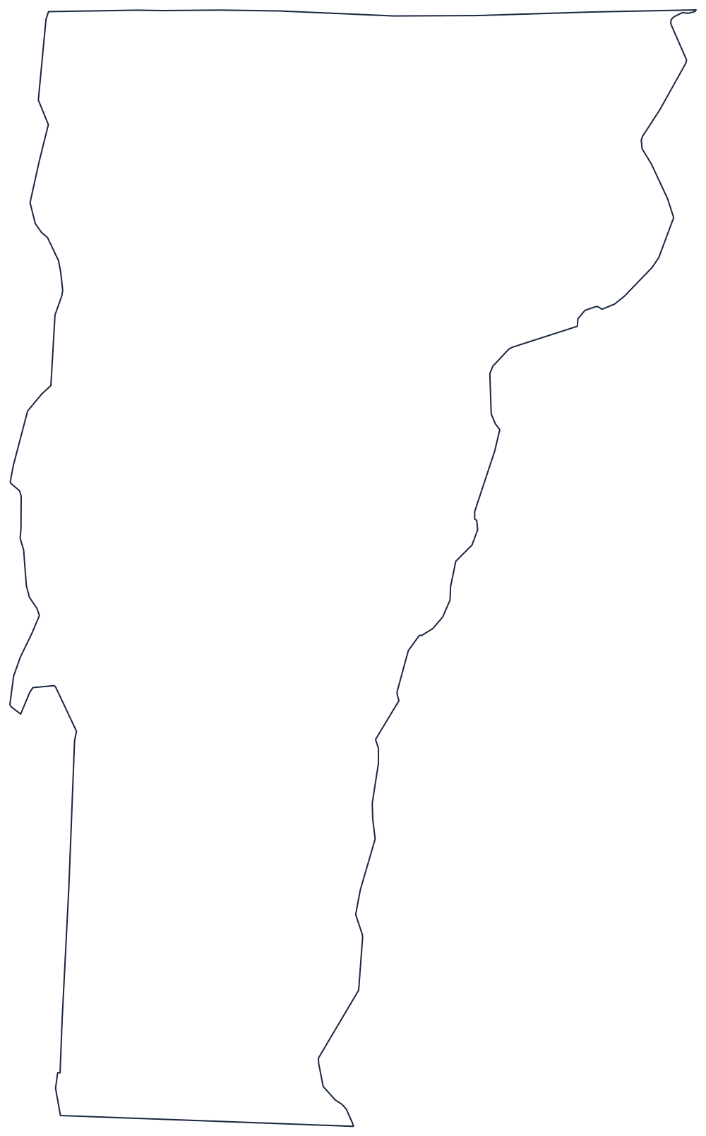
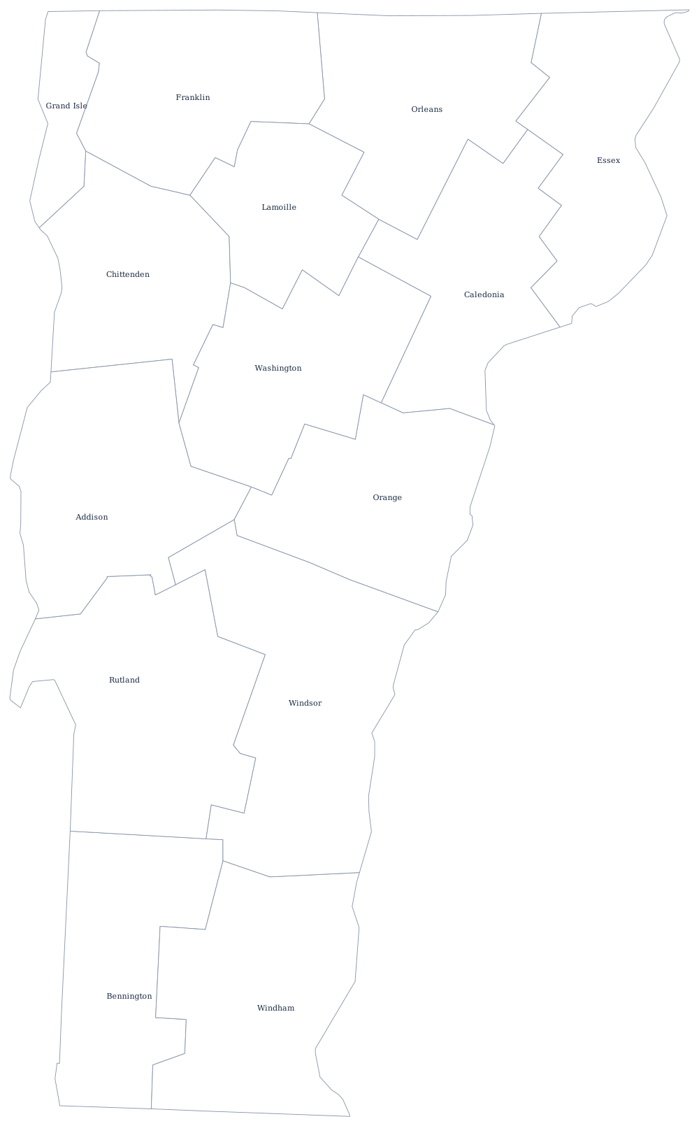
The outline shows the Lake Champlain shoreline and the sharp southwestern corner where the state meets New York and Massachusetts. The county file draws all 14 Vermont county lines as unlabeled outlines, ready to fill in. A larger printable sheet with notes on how the borders were drawn is at blank Vermont map, and the populated version is on the Vermont county map page.
Neighboring states
Vermont borders New York across Lake Champlain and the Poultney River, New Hampshire at the west bank of the Connecticut River, and Massachusetts along the south; Quebec closes the north at the 45th parallel. New York and New Hampshire both claimed the territory before the Green Mountain settlers ran it as an independent republic from 1777 until statehood in 1791. The other New England states are collected on the region page, every state is on the US map with states, and the Northeast map quiz drills the corner.