Connecticut Map
The third-smallest state, wedged between New York and Rhode Island with Long Island Sound along its whole southern edge. Capital: Hartford.
Connecticut at a glance
| Capital | Hartford |
| Largest city | Bridgeport |
| Abbreviation | CT |
| Population | 3,675,069 (2024 Census estimate) |
| Land area | 4,842 sq mi |
| Region | Northeast (New England division) |
| Time zone | Eastern Time (UTC−5, UTC−4 in summer) statewide |
| Counties | 8 historic counties, 9 planning regions — Connecticut abolished county government in 1960, and since 2022 the Census Bureau has used nine councils-of-government planning regions as the state’s county equivalents |
| Statehood | 1788 (5th state) |
| Borders | Massachusetts, New York, Rhode Island and Long Island Sound |
Major cities
Connecticut spreads its population out instead of concentrating it: no city in the state ranks among the country’s hundred largest, so none of them appears in the US cities index. Bridgeport, New Haven, Stamford, Hartford and Waterbury are all in the same rough size class, and each anchors a separate stretch of the state. Four of the five sit on the coast or the lower Connecticut River, strung along the corridor that carries Interstate 95 and the New Haven rail line from the New York state line to Rhode Island. Hartford, the capital, is the inland exception, 40 miles up the river valley. Stamford and the rest of Fairfield County function as the outer edge of the New York metropolitan area, while eastern Connecticut is thinly settled farmland and woods. Governing is done by 169 towns, not by counties — there is no unincorporated land anywhere in the state, and every square mile belongs to some town.
Geography
The Connecticut River enters the state from Massachusetts and runs 68 miles south to Long Island Sound at Old Saybrook, the last leg of a 410-mile course that makes it the longest river in New England; it also splits the state into a broad central lowland with uplands on either side. The western uplands rise into the Litchfield Hills, the southern tail of the Appalachian Mountains, and the state’s high point is an oddity: 2,380 feet on the south slope of Mount Frissell, whose summit is in Massachusetts. The highest peak wholly inside Connecticut is Bear Mountain at 2,316 feet. The Housatonic drains the western third and the Thames the eastern. Along the south the state faces Long Island Sound rather than open ocean — roughly 110 miles of tidal estuary sheltered by Long Island, which is why the Connecticut shore has beaches and salt marsh instead of the surf of the Atlantic coast proper.
Printable Connecticut maps
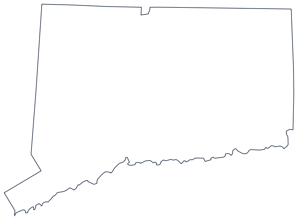
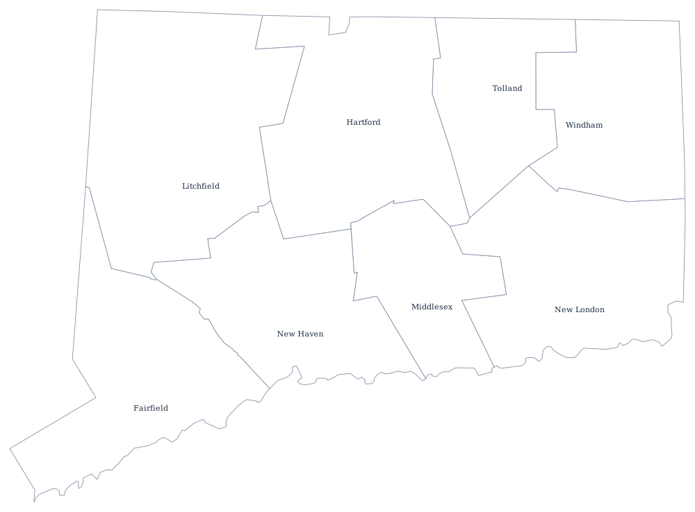
Connecticut prints as a near-rectangle with a bite out of the southwest corner and the Southwick notch on top, which makes it easy to label. The county file draws the nine planning regions the Census Bureau now uses as unlabeled outlines, ready to fill in. A larger printable sheet with notes on how the borders were drawn is at blank Connecticut map, and the populated version is on the Connecticut county map page.
Neighboring states
Connecticut’s three land neighbors are New York to the west, Massachusetts along the straight northern line, and Rhode Island to the east; across the Sound, Long Island belongs to New York, not to Connecticut. The northern boundary with Massachusetts jogs south around Southwick, a notch left by a colonial survey error that was never straightened. For the wider picture see the other New England states, return to the US map with states, or work through the Northeast map quiz.