US Map / States / Rhode Island
Rhode Island Map
The smallest state by area, and one whose largest bay reaches a third of the way up it. Capital and largest city: Providence. Abbreviation: RI.
Rhode Island at a glance
| Capital | Providence |
| Largest city | Providence |
| Abbreviation | RI |
| Population | 1,112,308 (2024 Census estimate) |
| Land area | 1,034 sq mi |
| Region | Northeast (New England division) |
| Time zone | Eastern Time (UTC−5, UTC−4 in summer) statewide |
| Counties | 5 counties — none of them has a county government |
| Statehood | 1790 (13th state) |
| Borders | Connecticut, Massachusetts, with Block Island Sound and the Atlantic to the south |
Major cities
Rhode Island is 1,034 square miles of land holding 1.11 million people, and three in five of them live in Providence County. Providence, the capital, is the largest city but still short of the 100 largest US cities; Cranston, Warwick, Pawtucket and East Providence ring it so closely that the built-up area runs from the Massachusetts line at Woonsocket down to the head of Narragansett Bay without a real break. Newport, on Aquidneck Island, is the historic port at the bay’s mouth and was one of the state’s two capitals until 1900. Washington County, in the southwest, is the rural corner. Every governmental function belongs to the 39 cities and towns, since the counties have none.
Geography
Narragansett Bay is the defining feature: it reaches more than 20 miles inland from the ocean to Providence, taking a large bite out of a state only about 48 miles from north to south and 37 miles across, and it leaves Aquidneck, Conanicut and Prudence islands standing in the middle. The bay is why the general shoreline of 40 miles becomes several hundred miles of tidal shore once its inlets are followed. West of the bay the land is low glacial upland reaching only 812 feet at Jerimoth Hill, the lowest state high point in New England; south of it the Atlantic coast is a straight line of barrier beaches and salt ponds facing Block Island Sound, with Block Island itself lying about a dozen miles offshore. The Blackstone River drops steeply from the Massachusetts line to tidewater at Pawtucket, and that fall powered Slater Mill in 1793. Rhode Island was formally the State of Rhode Island and Providence Plantations until voters shortened the name in 2020.
Printable Rhode Island maps
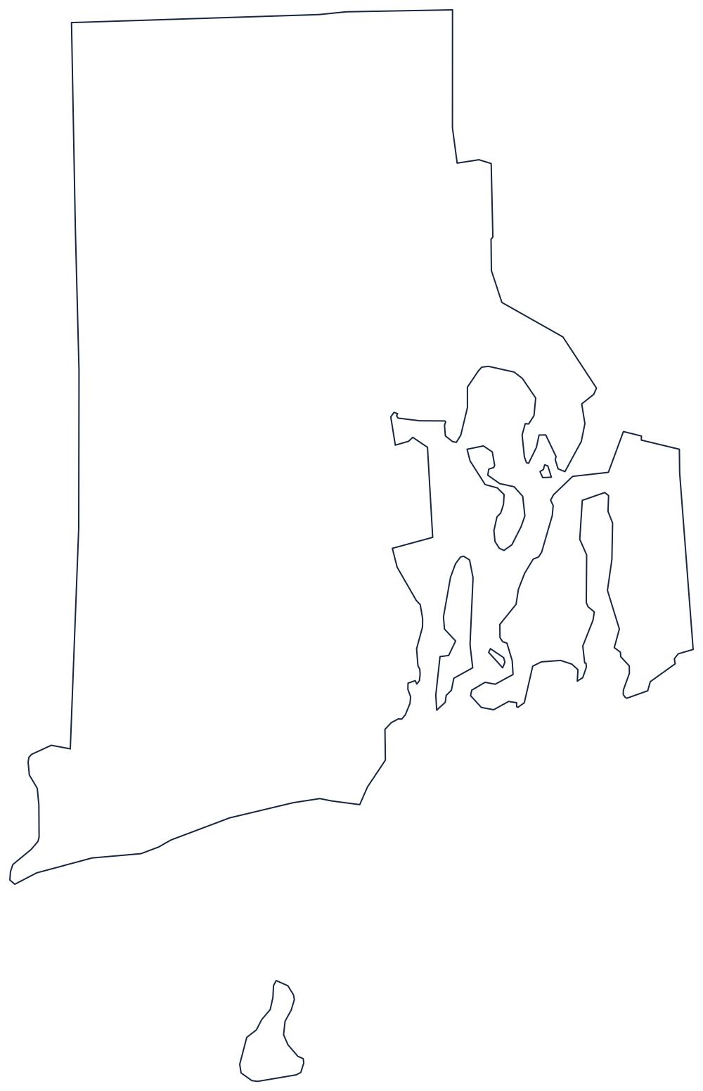
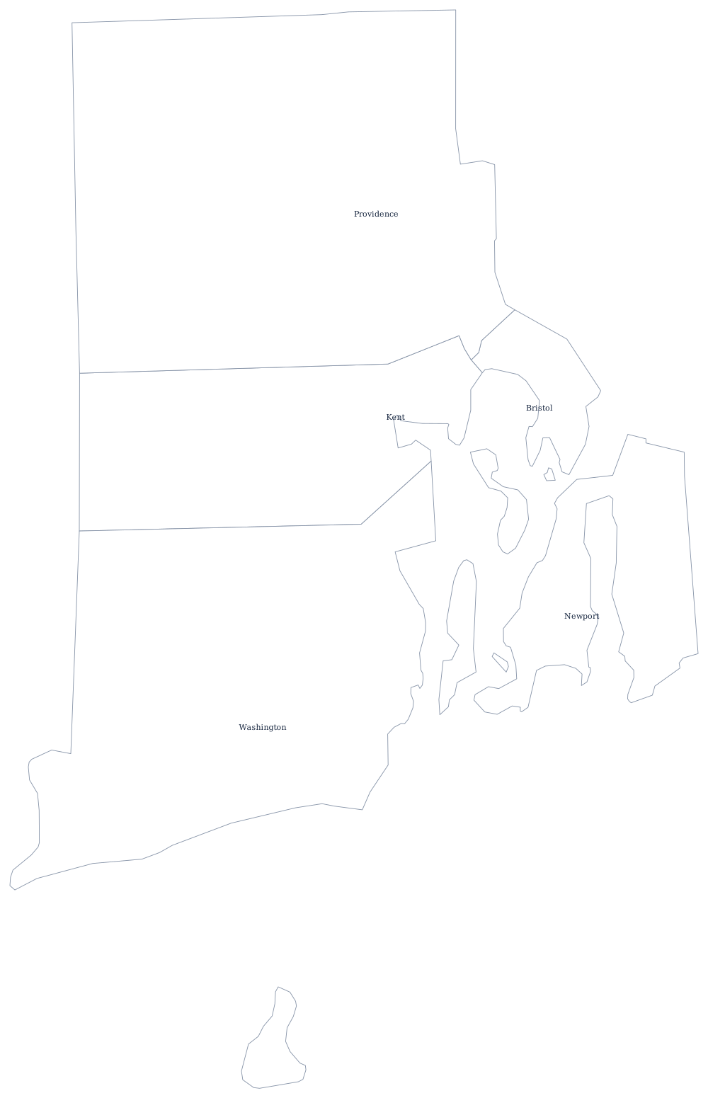
Narragansett Bay and its islands are drawn in, which is most of what there is to label. The county file draws all 5 county boundaries as unlabeled outlines, ready to fill in. A larger printable sheet with notes on how the borders were drawn is at blank Rhode Island map, and the populated version is on the Rhode Island county map page.
Neighboring states
Rhode Island has just two neighbors: Connecticut on the west and Massachusetts wrapping around the north and east, a line that has moved more than once — the towns of Fall River and Pawtucket were divided by boundary settlements in the nineteenth century. Offshore the state also meets New York in Block Island Sound. Continue through the rest of New England, see all fifty on the US states map, or test yourself with the Northeast map quiz.