US Map / States / Massachusetts
Massachusetts Map
New England's most populous state, from the Berkshire hills to the hook of Cape Cod. Capital and largest city: Boston. Abbreviation: MA.
Massachusetts at a glance
| Capital | Boston |
| Largest city | Boston |
| Abbreviation | MA |
| Population | 7,136,171 (2024 Census estimate) |
| Land area | 7,800 sq mi |
| Region | Northeast (New England division) |
| Time zone | Eastern Time (UTC−5, UTC−4 in summer) statewide |
| Counties | 14 counties — most county governments were dissolved between 1997 and 2000 |
| Statehood | 1788 (6th state) |
| Borders | Connecticut, New Hampshire, New York, Rhode Island, Vermont and the Atlantic Ocean |
Major cities
Massachusetts packs 7.1 million people into 7,800 square miles, about 915 per square mile, and the eastern third carries most of them. Boston had 673,458 residents in 2024, the 26th-largest city in the country, but the figure understates the region: Cambridge, Somerville, Newton, Quincy and Lynn are separate municipalities pressed up against it, and Middlesex County alone holds more than 1.6 million people. Worcester, 40 miles inland, is the second-largest city and the pivot between the Boston orbit and central Massachusetts. Springfield and Holyoke sit in the Connecticut River valley at the far western end of the populated belt, closer to Hartford than to Boston. There is no unincorporated land anywhere in the state: all 351 cities and towns govern themselves, and in most of Massachusetts no county government is left to take anything off their hands.
Geography
Massachusetts is a cross-section of New England laid on its side. In the west the Berkshires and the Taconic range carry the Appalachian Mountains through the state, topping out at Mount Greylock, 3,489 feet. The Connecticut River valley cuts a fertile north-south trench through the middle, and the central uplands east of it hold the Quabbin Reservoir, made in the 1930s by disincorporating and flooding four towns to supply Boston with water. East of the fall line the land flattens into the coastal plain, and the Atlantic coast takes over: Massachusetts Bay, Boston Harbor, and the glacial deposits of Cape Cod, a 65-mile hook of sand and moraine severed from the mainland by the Cape Cod Canal, opened in 1914. Martha’s Vineyard and Nantucket lie offshore to the south, both of them terminal moraines from the same ice sheet. The Merrimack River crosses the northeast corner to reach the sea at Newburyport.
Printable Massachusetts maps
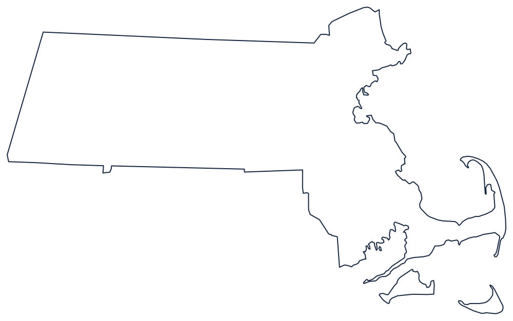
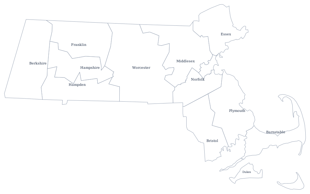
The Cape Cod hook and the two offshore islands make the Massachusetts outline instantly recognizable at any size. The county file draws all 14 county boundaries as unlabeled outlines, ready to fill in. A larger printable sheet with notes on how the borders were drawn is at blank Massachusetts map, and the populated version is on the Massachusetts county map page.
Neighboring states
Massachusetts borders five states: New Hampshire and Vermont along the north, New York on the west, and Connecticut and Rhode Island along the south. The southern line was meant to be a straight parallel and is not, thanks to seventeenth-century surveying; the Southwick jog into Connecticut is the most visible result. Continue to the rest of New England, see every state on the US states map, or print blanks from the printable maps section.