US Map / States / New Hampshire
New Hampshire Map
Eighteen miles of Atlantic shoreline, the highest summit in the Northeast, and a western border drawn along the far bank of the Connecticut River.
New Hampshire at a glance
| Capital | Concord |
| Largest city | Manchester |
| Abbreviation | NH |
| Population | 1,409,032 (2024 Census estimate) |
| Land area | 8,953 sq mi |
| Region | Northeast (New England division) |
| Time zone | Eastern Time (UTC−5, UTC−4 in summer) statewide |
| Counties | 10 counties |
| Statehood | 1788 (9th state) |
| Borders | Maine, Massachusetts, Vermont and 18 miles of Atlantic coast |
Major cities
New Hampshire’s people are stacked into its southern tier, within commuting range of the Massachusetts line. Manchester on the Merrimack River is the largest city, followed by Nashua directly on the border and then Concord, the capital, 20 miles upriver from Manchester; none is large enough for the 100 largest US cities list. Hillsborough and Rockingham counties together hold more than half the state’s 1.41 million residents. The seacoast cluster around Portsmouth and Dover is the other growth area. North of the White Mountains the population falls away sharply — Coos County, which covers the entire top of the state, has fewer than 32,000 people. As in the rest of New England, towns rather than counties run local government, and town meeting is still the budget-setting body in most of them.
Geography
The White Mountains dominate the northern half of New Hampshire and contain the highest ground in the northeastern United States: Mount Washington, 6,288 feet, at the center of the Presidential Range. The summit observatory measured a surface wind of 231 mph in April 1934, a world record that stood until 1996. Glacial notches — Franconia, Crawford, Pinkham — are the only easy ways through, and the whole range belongs to the Appalachian Mountains. South of the mountains the Lakes Region centers on Lake Winnipesaukee, some 21 miles long and the largest lake in the state, and the Merrimack River carries the population corridor down through Concord, Manchester and Nashua into Massachusetts. The Connecticut River forms the entire western boundary, and unusually the state line lies at the low-water mark on the Vermont bank, so the river itself is New Hampshire’s. The 18-mile seacoast between the Piscataqua River and the Massachusetts line is the shortest stretch of Atlantic coast of any coastal state.
Printable New Hampshire maps
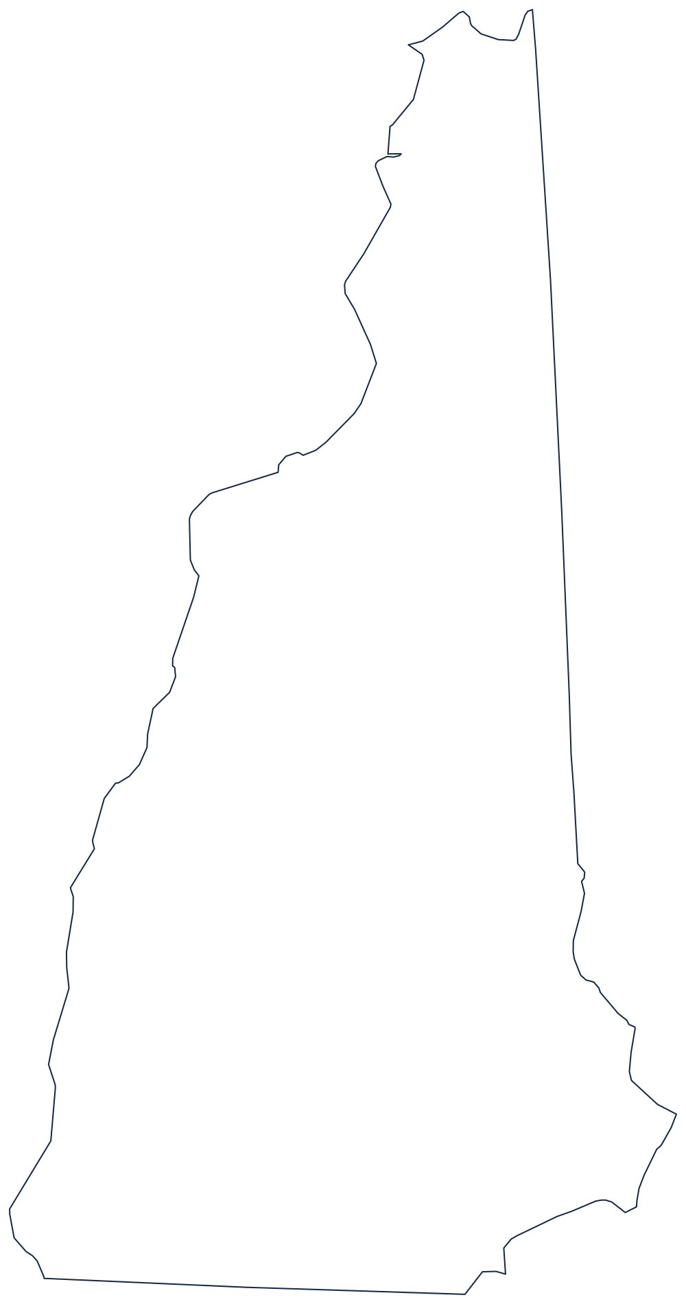
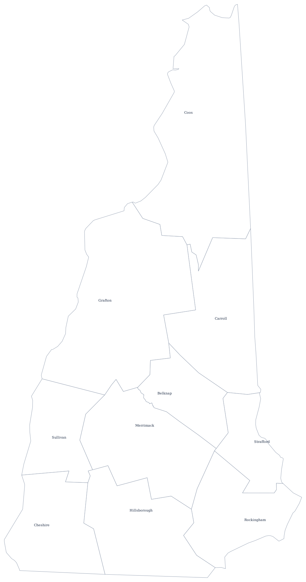
The wedge shape — wide at the bottom, pointed at the Canadian border — prints cleanly on a single sheet. The county file draws all 10 county boundaries as unlabeled outlines, ready to fill in. A larger printable sheet with notes on how the borders were drawn is at blank New Hampshire map, and the populated version is on the New Hampshire county map page.
Neighboring states
New Hampshire meets Maine on the east, Vermont across the Connecticut River on the west, and Massachusetts along the south, where the border was fixed in 1741 as a curved line three miles north of the Merrimack River before running due west. Quebec closes off the top of the state at a sharp point above Pittsburg. Explore the rest of New England, the full US map with states, or the Northeast map quiz.