Colorado Map
On paper a rectangle between two parallels and two meridians; on the ground a 697-cornered survey. Capital and largest city: Denver. Abbreviation: CO.
Colorado at a glance
| Capital | Denver |
| Largest city | Denver |
| Abbreviation | CO |
| Population | 5,957,493 (2024 Census estimate) |
| Land area | 103,642 sq mi |
| Region | West (Mountain division) |
| Time zone | Mountain Time statewide, with daylight saving time observed. Denver has given its name to the zone in common usage. |
| Counties | 64 counties |
| Statehood | 1876 (38th state) |
| Borders | Arizona, Kansas, Nebraska, New Mexico, Oklahoma, Utah, and Wyoming — Arizona is met only at the Four Corners point, and Colorado and Wyoming are the only two states drawn as a plain quadrangle of two parallels and two meridians |
Major cities
Nine in ten Coloradans live along the Front Range, the narrow strip where the plains meet the mountains. Denver sits at its center with 729,019 residents in 2024 and is a consolidated city and county, so its limits are also its county lines. Aurora spreads east of it across three counties — Adams, Arapahoe and Douglas — and Colorado Springs lies 70 miles south beneath Pikes Peak in El Paso County. Boulder, Fort Collins, Greeley and Pueblo continue the chain north and south. West of the mountains the pattern changes completely: Grand Junction on the Colorado River is the only city of any size on the Western Slope.
Geography
Colorado is the highest state in the country by mean elevation, and it holds more peaks above 14,000 feet than any other. Mount Elbert, at 14,440 feet, is the summit of the Rocky Mountains as well as of the state. The eastern two-fifths of Colorado is flat Great Plains wheat and cattle country; the line where it ends is abrupt enough to be visible from an aircraft.
The Continental Divide runs the length of the state, and Colorado is the only state whose rivers all flow outward: no major river enters it. The Colorado River rises in Rocky Mountain National Park, the Rio Grande in the San Juan Mountains, and the Arkansas and South Platte head east toward the Mississippi system. The rectangle itself is a legal fiction: the 1870s surveys that fixed the 37th and 41st parallels and the 25th and 32nd meridians west of Washington were run by separate crews in rough country, and the marked boundary turns out to be a polygon of roughly 697 corners rather than four.
Printable Colorado maps
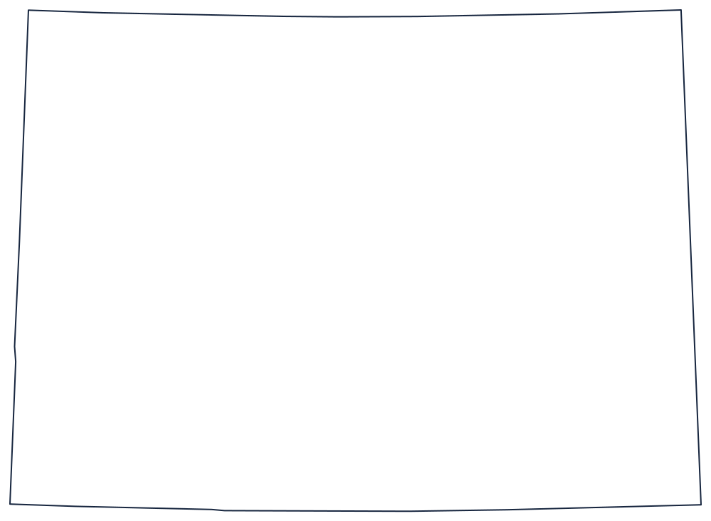
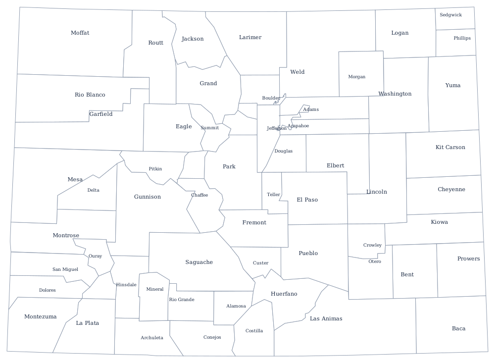
An outline of Colorado is almost the easiest map in the set to draw freehand, which makes it useful for practising the interior West. The blank Colorado map covers the straight-line borders in more detail.
Neighboring states
Seven states touch Colorado, more than any other state in the West. Clockwise from the north: Wyoming, Nebraska, Kansas, Oklahoma, New Mexico, Arizona at a single point, and Utah. That eastern half of the list belongs to the Plains rather than the Mountain division, which is a fair description of Colorado itself. Test the straight-line states against the rest in the West map quiz.