Nebraska Map
A rectangle with a bite taken out of the northeast corner, where the Missouri River overrules the surveyors. Capital: Lincoln. Largest city: Omaha.
Nebraska at a glance
| Capital | Lincoln |
| Largest city | Omaha |
| Abbreviation | NE |
| Population | 2,005,465 (2024 Census estimate) |
| Land area | 76,824 sq mi |
| Region | Midwest (West North Central division) |
| Time zone | Most of the state is Central Time; the Panhandle and part of the southwest keep Mountain Time |
| County count | 93 counties |
| Statehood | 1867 (37th state) |
| Borders | South Dakota, Iowa, Missouri, Kansas, Colorado and Wyoming |
Major cities
Nebraska's population is stacked along the eastern edge and the Platte valley. Omaha (489,265 in 2024) on the Missouri River and Lincoln (300,619) about 55 miles southwest hold more than half the state between them and their suburbs: Douglas County counted 601,158 and Sarpy County, immediately south, 204,828. Bellevue and Papillion are Omaha suburbs. Grand Island, Kearney, Hastings and North Platte are strung west along the Platte and Interstate 80; Scottsbluff serves the Panhandle. Beyond that the counties empty out — McPherson County counted 376 residents and Arthur County 423, among the least populous counties anywhere in the United States.
Geography
The Missouri River makes the entire eastern boundary of Nebraska and the eastern stretch of the northern one; every other side of the state is a line drawn on paper. Nebraska Territory once reached the Canadian border, and Colorado, Dakota and Wyoming territories were cut out of it between 1861 and 1868, leaving the Panhandle as the western remnant.
The Platte River crosses the state west to east, formed where the North Platte and South Platte join at the town of North Platte. Its broad, shallow, braided valley carried the Oregon, California and Mormon trails and then the Union Pacific, and it still carries the interstate. North of the Platte, covering roughly a quarter of the state, are the Sand Hills: about 19,600 square miles of grass-stabilized dunes, the largest dune field in the Western Hemisphere, too fragile to plow and therefore still cattle range. West of them the High Plains climb steadily to Panorama Point, 5,424 feet, in the southwestern corner of the Panhandle near where Nebraska, Colorado and Wyoming meet. Scotts Bluff and Chimney Rock, the landmarks emigrants counted off, still stand above the North Platte.
Printable Nebraska maps
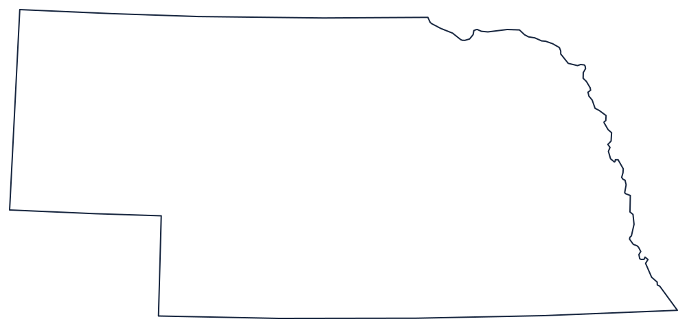
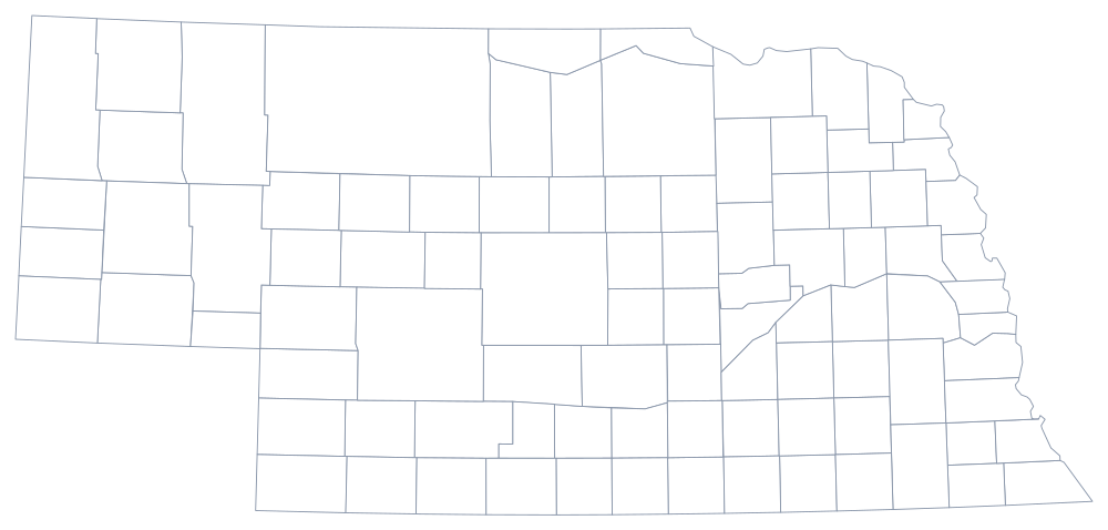
Nebraska's outline is almost all straight line, with the Missouri curling the eastern edge and the Panhandle squared off in the west. The blank Nebraska map page has a printable version, and the Nebraska county map covers all 93 counties.
Neighboring states
Across the Missouri to the east are Iowa and Missouri; south along the 40th parallel is Kansas; west are Colorado and Wyoming; north is South Dakota, the border following the river and then the 43rd parallel. Nebraska sits in the West North Central division of the Midwest and straddles the time-zone line, so the Mountain time zone page is relevant here too. The US map with states has the full grid.