Utah Map
Four-fifths of its people live on one 120-mile strip below the mountains. Capital and largest city: Salt Lake City. Abbreviation: UT.
Utah at a glance
| Capital | Salt Lake City |
| Largest city | Salt Lake City |
| Abbreviation | UT |
| Population | 3,503,613 (2024 Census estimate) |
| Land area | 82,170 sq mi |
| Region | West (Mountain division) |
| Time zone | Mountain Time statewide, with daylight saving time observed. Salt Lake City is the largest metropolitan area in the zone after Denver and Phoenix. |
| Counties | 29 counties |
| Statehood | 1896 (45th state) |
| Borders | Arizona, Colorado, Idaho, Nevada, New Mexico, and Wyoming — New Mexico is touched only at the Four Corners point, and the rectangular notch out of the northeast corner is Wyoming |
Major cities
The Wasatch Front is the strip of valley floor between the Wasatch Range and the Great Salt Lake, and roughly 80 percent of Utahns live on it. Salt Lake City, the capital and largest city, has about 210,000 residents within its own limits — not enough for the 100 largest US cities list, on which Utah does not appear — but the continuous built-up area runs from Ogden and Layton in the north through West Valley City, West Jordan and Sandy to Provo and Orem 45 miles south, and holds well over two million people between them. The 1847 street grid of Salt Lake City, laid out in ten-acre blocks around Temple Square, still sets the address system for much of the state. Utah's 3,503,613 residents in 2024 leave St. George in the southwest, growing fast in the red-rock country, as the only other significant center.
Geography
Utah is three landscapes with straight lines drawn round them. The Rocky Mountains come down the middle as the Wasatch Range, and the Uinta Mountains branch east from them — one of the few major ranges in the country running east to west — carrying Kings Peak at 13,528 feet. West of the Wasatch is Great Basin desert, including the Bonneville Salt Flats, and southeast of it is the Colorado Plateau: slickrock, mesas and the canyons of five national parks.
The Great Salt Lake is the largest saltwater lake in the Western Hemisphere and has no outlet, so its area swings enormously with rainfall — from well over 2,000 square miles in wet decades to under 1,000 in dry ones — and its salinity swings with it. It is the remnant of Lake Bonneville, which covered much of western Utah in the last ice age and left its old shorelines cut as terraces into the Wasatch foothills above Salt Lake City. In the southeast the Colorado River and its tributary the Green River have carved Canyonlands and Glen Canyon, now flooded as Lake Powell.
Printable Utah maps
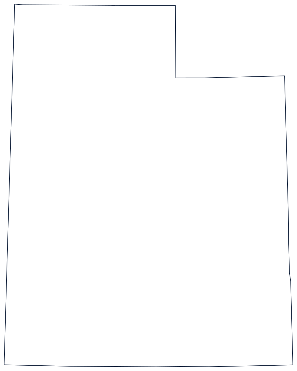
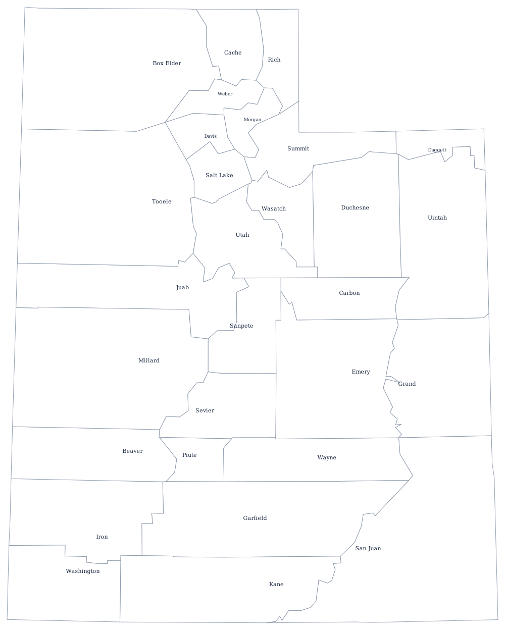
The outline is a rectangle with a bite taken out of the northeast corner, which is the single most useful thing to know when identifying it. The blank Utah map explains how that notch came about.
Neighboring states
Utah touches six states, which for a state of straight lines takes some doing. Idaho and Wyoming are north, Nevada is west along the 114th meridian, Arizona is south along the 37th parallel, Colorado is east along the 109th, and New Mexico is reached only by standing on the Four Corners marker. Every one of the six is a Mountain division state, which makes this corner of the West unusually self-contained: Utah is the only state in the West whose neighbors are all in its own division.