Oklahoma Map
Oklahoma's panhandle is 34 miles wide and 166 long — land Texas gave up in 1850 that then belonged to no territory at all for forty years. Capital: Oklahoma City.
Oklahoma at a glance
| Capital | Oklahoma City |
| Largest city | Oklahoma City |
| Abbreviation | OK |
| Population | 4,095,393 (2024 Census estimate) |
| Land area | 68,595 sq mi |
| Region | South (West South Central division) |
| Time zone | Central Time for the whole state, panhandle included |
| Counties | 77 counties |
| Statehood | 1907 (46th state), formed by joining Oklahoma Territory and Indian Territory |
| Borders | Arkansas, Colorado, Kansas, Missouri, New Mexico, and Texas |
Major cities
Oklahoma City is capital, largest city and one of the largest municipalities in the country by land area, sprawling over four counties with 712,919 residents in 2024 — a consequence of aggressive annexation in the 1950s and 60s. Tulsa at 415,154 sits on the Arkansas River in the northeast and was built by the oil boom rather than the land runs.
Between them, Oklahoma County (816,490) and Tulsa County (693,514) hold more than a third of the state. Norman, in Cleveland County (303,952), is the university town south of the capital; Lawton in Comanche County (121,396) grew around Fort Sill; Broken Arrow and Edmond are the large suburbs. Those two cities are Oklahoma's only entries in the 100 largest US cities.
Geography
Oklahoma tilts steadily downhill from west to east. Black Mesa, at the very tip of the panhandle, is the high point at 4,973 ft; the lowest ground, where the Little River crosses into Arkansas in the southeast corner, is about 289 ft. The western third is Great Plains — short grass, wheat and the High Plains surface — while the Cross Timbers, a belt of scrubby post oak, runs diagonally through the middle and once marked the practical edge of wagon travel.
The panhandle exists because Texas, entering the Union in 1845 as a slave state, had to give up its claim north of 36°30′ under the Compromise of 1850. The strip then sat outside every organized territory — the Public Land Strip, or No Man's Land — until it was attached to Oklahoma Territory in 1890. The Arkansas River crosses the state past Tulsa, and the McClellan–Kerr navigation project makes the Port of Catoosa an inland seaport for barge traffic. The Red River forms the whole southern border with Texas and its exact channel has gone to the Supreme Court more than once. In the southeast the Ouachita Mountains rise in pine-covered ridges, the southwest has the granite knobs of the Wichita Mountains, and the Ozark plateau reaches into the northeast.
Printable Oklahoma maps
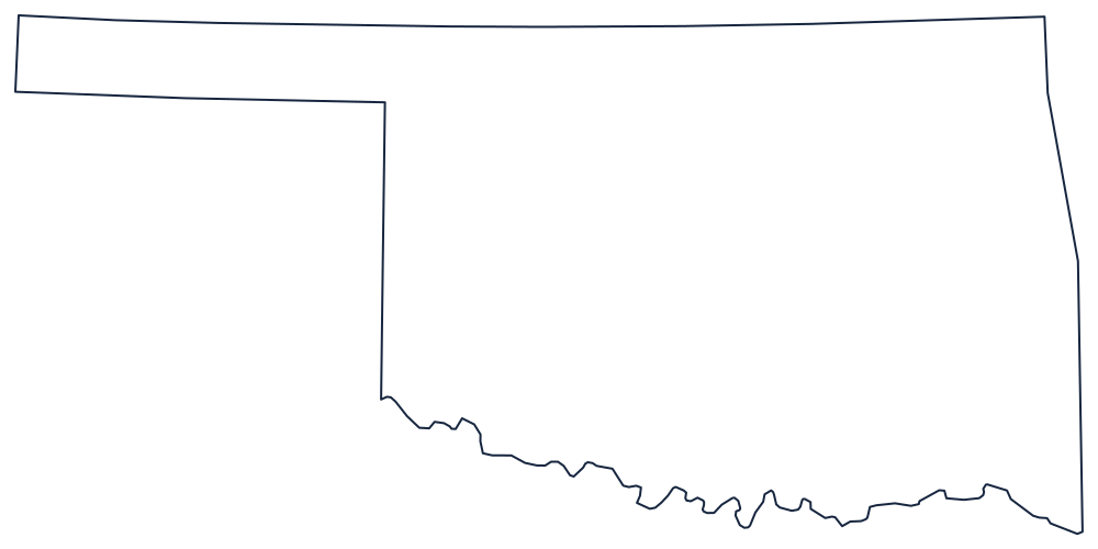
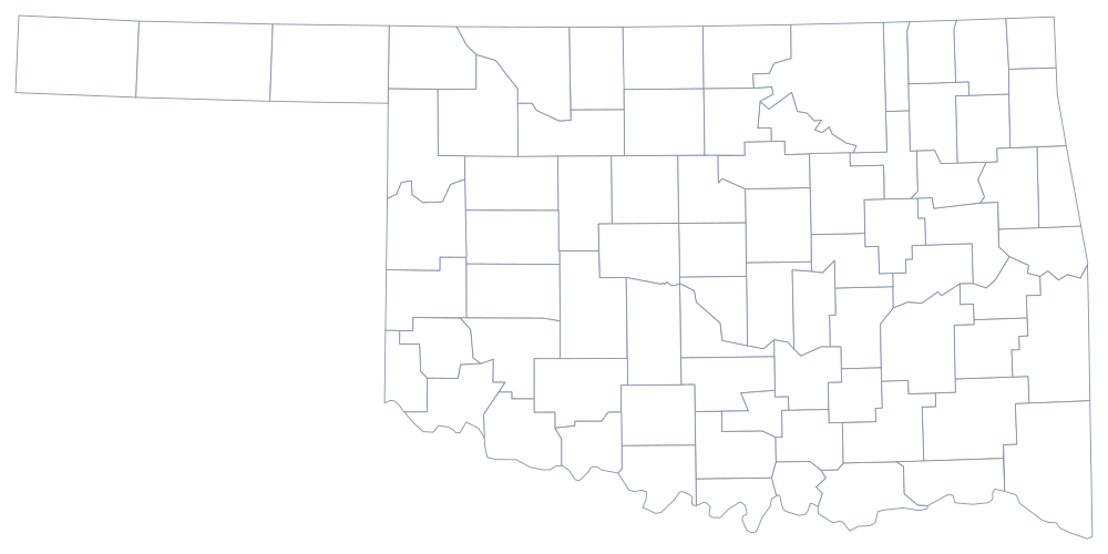
Print the outline and the panhandle becomes the whole lesson — nothing else in the state is that unlikely. The blank Oklahoma map page explains what each border follows, and the county sheet adds all 77.
Neighboring states
Six states border Oklahoma, and four of them meet only the panhandle or its ends: Colorado and Kansas along 37°N, New Mexico at the western tip, and Texas on both the south and the panhandle’s underside. Missouri and Arkansas close the eastern side. The grouping is drawn on the West South Central division map.