Missouri Map
Missouri touches eight states, a total only Tennessee matches, and the two longest rivers in North America meet inside it. Capital: Jefferson City.
Missouri at a glance
| Capital | Jefferson City |
| Largest city | Kansas City |
| Abbreviation | MO |
| Population | 6,245,466 (2024 Census estimate) |
| Land area | 68,742 sq mi |
| Region | Midwest (West North Central division) |
| Time zone | Central Time statewide |
| County count | 114 counties plus the independent city of St. Louis |
| Statehood | 1821 (24th state) |
| Borders | Iowa, Illinois, Kentucky, Tennessee, Arkansas, Oklahoma, Kansas and Nebraska — eight, tied with Tennessee for the most |
Major cities
Missouri's people sit at the two ends of the state. Kansas City (516,032 in 2024) sprawls across four counties on the western border; St. Louis (279,695) sits on the eastern one and is not part of any county at all, having separated from St. Louis County in 1876 — that county now holds 992,929 people on its own. Springfield, in the southwest, is the third city and the commercial center of the Ozarks. Columbia, halfway along Interstate 70, has the state university. Jefferson City has never been large: it was picked in 1821 as an empty site on the Missouri River near the middle of the state, and administration is still most of what happens there. Independence, Lee's Summit and O'Fallon are suburbs of the two big metros.
Geography
The Missouri River comes down the western border, turns east at Kansas City, swings across the middle of the state, and joins the Mississippi about 15 miles above downtown St. Louis — the meeting of the two longest rivers on the continent, and the reason a city grew there. North of the Missouri the land is glaciated plain, an extension of Iowa. South of it lies the Ozark Plateau, an uplifted dome of ancient dolomite and limestone cut into steep hollows and spring branches, with more than 7,000 recorded caves and the state's high point at Taum Sauk Mountain, 1,772 feet, in the St. Francois Mountains.
The southeastern corner is different again. The Bootheel is flat Mississippi alluvium, drained and farmed in cotton, rice and soybeans, and it hangs below the rest of the state because a landowner lobbied successfully to have the boundary dropped from 36°30′ to 36° north when Missouri was admitted in 1821. The same corner produced the New Madrid earthquakes of 1811–12, the most violent recorded in the eastern United States. On the other side of the state, the Platte Purchase of 1837 added six counties in the northwest and moved the Kansas boundary out to the Missouri River.
Printable Missouri maps
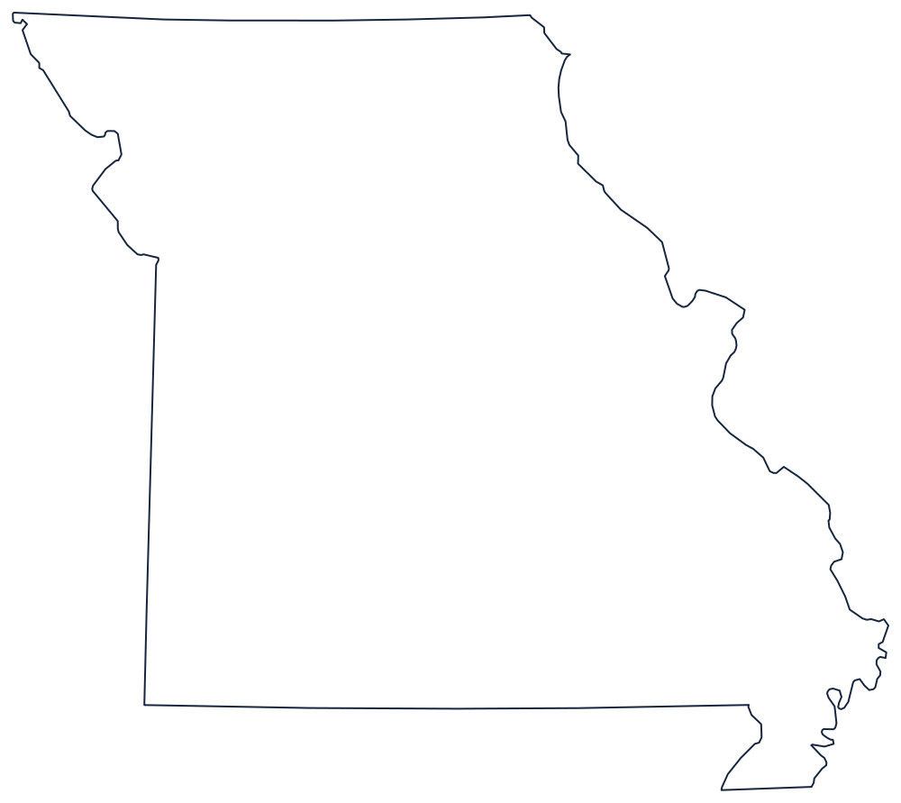
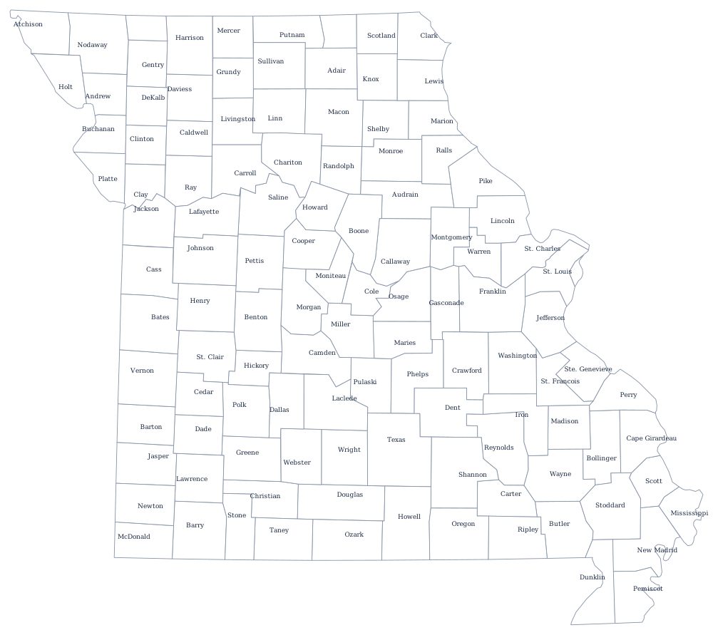
Missouri's outline is a set of arguments settled: the Bootheel, the Platte Purchase bulge, the Mississippi down the east and the ruled line down most of the west. Print it from the blank Missouri map page, or use the Missouri county map for all 115 county-level units.
Neighboring states
Clockwise from the north: Iowa, Illinois and Kentucky and Tennessee across the Mississippi, Arkansas along a line of latitude, Oklahoma at the southwest, then Kansas and Nebraska up the western side. Missouri is in the West North Central division of the Midwest, though its southern half reads as Upper South. The US map with states shows why eight neighbors is possible here; the Midwest map quiz tests the rest of the region.