Iowa Map
Rivers on the east and west, survey lines on the north and south. Capital and largest city: Des Moines. Abbreviation: IA.
Iowa at a glance
| Capital | Des Moines |
| Largest city | Des Moines |
| Abbreviation | IA |
| Population | 3,241,488 (2024 Census estimate) |
| Land area | 55,857 sq mi |
| Region | Midwest (West North Central division) |
| Time zone | Central Time statewide |
| County count | 99 counties |
| Statehood | 1846 (29th state) |
| Borders | Minnesota, Wisconsin, Illinois, Missouri, Nebraska and South Dakota — six, matched in the Midwest only by Nebraska and beaten only by Missouri's eight |
Major cities
No Iowa city ranks among the hundred largest in the United States; the 2024 cutoff for that list was about 231,000. The state's people are spread across a dozen mid-sized places instead. Des Moines, the capital since 1857, anchors Polk County's 516,185 residents and the only Iowa metropolitan area above half a million. Cedar Rapids sits on the Cedar River in Linn County (231,762). The Quad Cities — Davenport and Bettendorf in Scott County (175,601), with Rock Island and Moline opposite in Illinois — straddle the Mississippi where the river runs east to west. Sioux City holds the northwest corner on the Missouri, and Council Bluffs faces Omaha across the same river. Iowa City and Ames have the two big universities; Waterloo, Dubuque and Ottumwa carry the rest.
Geography
Iowa is the only state bounded on both the east and the west by major navigable rivers: the Mississippi on one side, the Missouri and the Big Sioux on the other. The northern boundary with Minnesota is a straight line at 43°30′ north. The southern boundary with Missouri took a bloodless standoff in 1839, remembered as the Honey War, and a Supreme Court decision in 1849 to settle. Between the two, the Public Land Survey System cut the state into 99 mostly rectangular counties, sized so that a farmer could drive to the county seat and back in a day.
Almost all of Iowa was worked over by ice. The Des Moines Lobe of the last glaciation left the flat, pothole-pocked prairie of the north-center; the northeast corner escaped it and belongs to the Driftless Area of bluffs and cold-water trout streams. Along the western edge, wind piled Missouri River silt into the Loess Hills, a ridge running about 200 miles from Sioux City to the Missouri line, with loess deposits so deep that the only comparable formation is in China. Hawkeye Point in Osceola County, 1,670 feet, is the high ground; the low point is 480 feet where the Mississippi leaves the state at Keokuk.
Printable Iowa maps
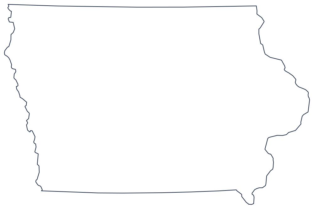
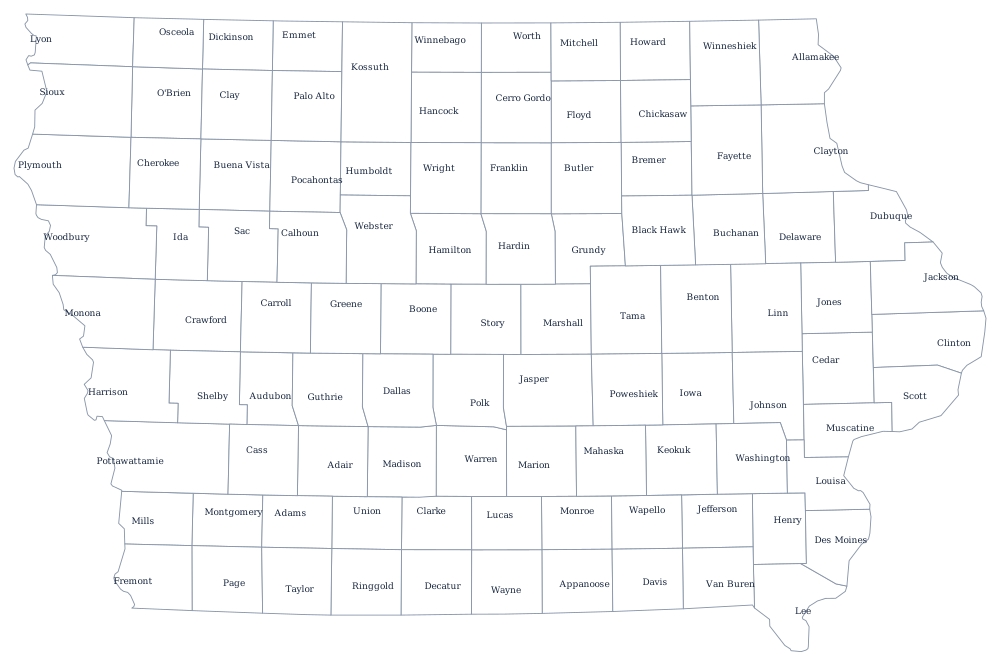
Iowa's outline makes the point better than any description: two curved river edges and two ruled ones. The blank Iowa map page has it sized for classroom printing, and the Iowa county map shows how neatly the 99 counties tile the interior.
Neighboring states
Upstream and down the Mississippi are Wisconsin and Illinois; across the Missouri are Nebraska and South Dakota; north is Minnesota and south is Missouri. Iowa belongs to the West North Central division of the Midwest. Return to the US map with states, or print the region from the printable US maps page.