Tennessee Map
Eight states touch Tennessee — only Missouri matches that — across roughly 440 miles from the Smokies to the Mississippi. Capital and largest city: Nashville.
Tennessee at a glance
| Capital | Nashville |
| Largest city | Nashville |
| Abbreviation | TN |
| Population | 7,227,750 (2024 Census estimate) |
| Land area | 41,235 sq mi |
| Region | South (East South Central division) |
| Time zone | Eastern in East Tennessee, including Knoxville and Chattanooga; Central in Middle and West Tennessee, with the boundary running near the Cumberland Plateau |
| Counties | 95 counties |
| Statehood | 1796 (16th state) |
| Borders | Alabama, Arkansas, Georgia, Kentucky, Mississippi, Missouri, North Carolina, and Virginia — eight, tied for the most of any state |
Major cities
State law divides Tennessee into three Grand Divisions — East, Middle and West — and the three stars on the flag stand for them. Each has its own city. Nashville, in the middle, is capital and largest at 729,505 in 2024, a figure that reflects its 1963 consolidation with Davidson County. Memphis, 610,919, sits at the far western corner on the Mississippi, and its Shelby County is the state's most populous at 910,530.
In the east, Knoxville anchors Knox County (506,748) in the Tennessee Valley and Chattanooga sits in Hamilton County (386,256) where the river cuts through the Cumberland Plateau. Rutherford County (376,996) and Williamson County (269,136), both south of Nashville, are the fastest-growing. Nashville and Memphis are the state's two entries in the 100 largest US cities.
Geography
Read Tennessee west to east and you climb the whole southern Appalachian sequence. The Mississippi River forms the western border, and Memphis stands on the fourth Chickasaw Bluff, the first high ground above the floodplain going downstream. Reelfoot Lake nearby was created when the New Madrid earthquakes of 1811–12 dropped a patch of forest below water level. Middle Tennessee is the Nashville Basin, a limestone bowl ringed by the Highland Rim; east of it the Cumberland Plateau rises as a wall, and beyond that the Valley and Ridge and finally the Great Smoky Mountains, where Clingmans Dome — officially renamed Kuwohi in 2024 — is the state's high point at 6,643 ft.
The Tennessee River crosses the state twice. It forms at Knoxville, runs southwest past Chattanooga into Alabama, loops back north across the western part of the state and reaches the Ohio at Paducah — so a traveller going downstream leaves Tennessee and returns to it. The dams that made that route navigable were built by the Tennessee Valley Authority from 1933 onward. The straight northern border with Kentucky was meant to follow 36°30′ but the Walker survey of 1780 drifted, and the visible jog in the line is the result.
Printable Tennessee maps
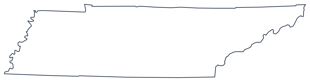
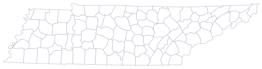
Tennessee prints well as a wide banner across a landscape page. Take the outline above, or the classroom copy on the blank Tennessee map page; the county sheet fits all 95 without crowding.
Neighboring states
Going clockwise from the northwest: Kentucky and Virginia along the northern survey line, North Carolina along the mountain crest, then Georgia, Alabama and Mississippi along the 35th parallel, and finally Arkansas and Missouri across the Mississippi River. Eight in one lap — worth a run at the Southern states quiz.