Michigan Map
Two peninsulas, four of the five Great Lakes, and a border redrawn after an argument with Ohio over Toledo. Capital: Lansing. Largest city: Detroit.
Michigan at a glance
| Capital | Lansing |
| Largest city | Detroit |
| Abbreviation | MI |
| Population | 10,140,459 (2024 Census estimate) |
| Land area | 56,539 sq mi |
| Region | Midwest (East North Central division) |
| Time zone | Eastern Time, except four counties in the western Upper Peninsula — Gogebic, Iron, Dickinson and Menominee — which keep Central Time with neighboring Wisconsin |
| County count | 83 counties |
| Statehood | 1837 (26th state) |
| Borders | Ohio, Indiana and Wisconsin by land, plus water boundaries with Illinois and Minnesota in the Great Lakes and with Ontario, Canada |
Major cities
Detroit, 645,705 in 2024, is the largest city and the only Michigan entry in the national top 100, but the county figures say more about where southeastern Michigan lives: Wayne County 1,771,063, Oakland County 1,296,888, Macomb County 886,175. Grand Rapids on the west side is the second city and the center of a separate metro. Warren, Sterling Heights and Dearborn are Detroit suburbs big enough to be principal cities in other states. Lansing became the capital in 1847 precisely because it was an inconvenient forest township in the middle of the Lower Peninsula and not a rival to Detroit; Ann Arbor, Flint, Kalamazoo and Saginaw fill in the southern half. The Upper Peninsula holds nearly a third of the state's land and about three percent of its people, with Marquette on Lake Superior the largest town.
Geography
Michigan fronts four of the five Great Lakes — Superior, Michigan, Huron and Erie — and has more freshwater shoreline than any other state, over 3,000 miles of it. The two peninsulas are separated by the Straits of Mackinac, about five miles of water that carried a car ferry until the Mackinac Bridge opened in 1957.
The Lower Peninsula is the mitten: glacial moraines down the middle, a fruit belt along the Lake Michigan shore where the lake holds off spring frost, and the industrial corridor from Detroit north to Flint and Saginaw. The Upper Peninsula is older and harder ground — Precambrian rock with the iron ranges of the Marquette and Menominee districts and the native-copper country of the Keweenaw — and it holds the high point, Mount Arvon, at 1,979 feet. Isle Royale, a wilderness island national park in Lake Superior, is Michigan territory although it lies nearer to Minnesota and Ontario. Michigan got the Upper Peninsula in the first place as compensation: the Toledo War of 1835–36, a border dispute with Ohio that produced no battle, ended with Ohio keeping Toledo and Michigan taking the copper country and statehood in 1837.
Printable Michigan maps
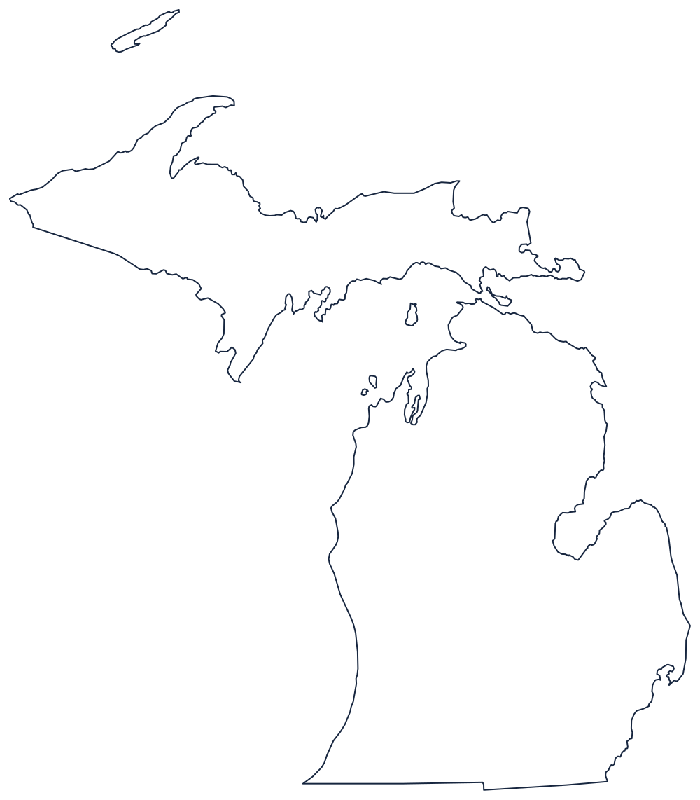
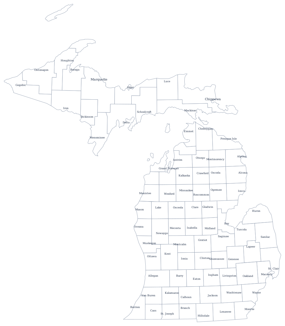
Michigan is the easiest state in the country to recognize from its outline alone, and the hardest to draw. Print the two peninsulas from the blank Michigan map page, or label the 83 counties with the Michigan county map.
Neighboring states
Michigan has only three land neighbors: Ohio and Indiana along the bottom of the Lower Peninsula, and Wisconsin along the Montreal and Menominee rivers at the base of the Upper Peninsula. Everything else is water, including the Lake Michigan boundary with Illinois and the Lake Superior boundary with Minnesota. Michigan is one of the five East North Central states; the US map with states and the Midwest quiz cover the rest of the region.