Ohio Map
Lake Erie along the top, the Ohio River along the bottom, and the first land in America ever surveyed into square miles in between. Capital: Columbus.
Ohio at a glance
| Capital | Columbus |
| Largest city | Columbus |
| Abbreviation | OH |
| Population | 11,883,304 (2024 Census estimate) |
| Land area | 40,861 sq mi |
| Region | Midwest (East North Central division) |
| Time zone | Eastern Time statewide |
| County count | 88 counties |
| Statehood | 1803 (17th state) |
| Borders | Michigan, Pennsylvania, West Virginia, Kentucky and Indiana, with a Lake Erie water boundary with Ontario, Canada |
Major cities
Ohio is the rare large state with no dominant city: it has three metropolitan areas of similar size at the corners of a triangle. Columbus, the capital, is now the largest at 933,263 in 2024, having passed the other two around 1990, and Franklin County holds 1,356,303. Cleveland (365,379) on Lake Erie anchors Cuyahoga County's 1,240,594. Cincinnati (314,915) on the Ohio River anchors Hamilton County's 837,359 and a metro that reaches into Kentucky and Indiana. Toledo (265,638) sits at the western end of Lake Erie where the Maumee comes in. Akron, Dayton, Canton, Youngstown and Parma fill out the list, and the Cleveland–Akron–Canton and Dayton–Springfield corridors make Ohio read as a chain of mid-sized cities rather than a hub with a hinterland.
Geography
The Ohio River runs about 450 miles along the southern and southeastern edge of the state, and the boundary is the river's northern low-water mark as it stood in 1792, so the water belongs to Kentucky and West Virginia. At the other end, roughly 300 miles of Lake Erie shoreline runs from the Pennsylvania line west to Toledo. Between them Ohio splits along the glacial limit. The northwest is the flat bed of the drained Great Black Swamp, now tiled farmland and among the most productive ground in the country; the southeast is unglaciated Appalachian plateau — narrow valleys, coal measures and almost no level land. Campbell Hill, at Bellefontaine, is the high point at 1,549 feet.
Eastern Ohio also holds the Point of Beginning, the spot on the Pennsylvania line just above the Ohio River where surveyors started the first rectangular survey under the Land Ordinance of 1785. The township-and-range grid that spread west from there is why so many Midwestern county lines, section roads and field edges run dead straight. Ohio itself is a patchwork of survey systems: the Seven Ranges in the east, the Connecticut Western Reserve in the northeast, and the Virginia Military District between the Scioto and the Little Miami, which was laid out in irregular metes and bounds and still looks tangled on a county map. Statehood is dated to 1803, though Congress did not pass a formal admission resolution until 1953, backdated to March 1.
Printable Ohio maps
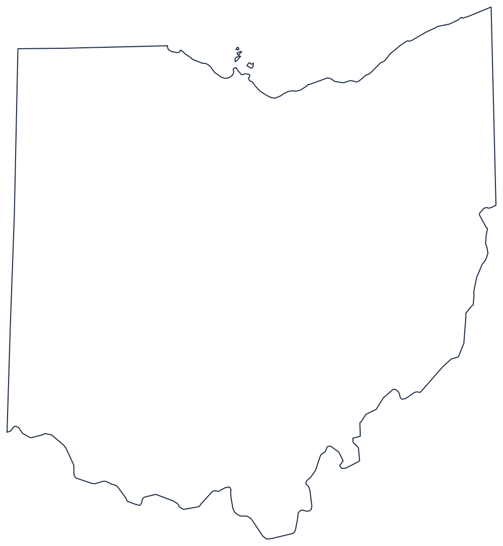

Ohio's outline shows the two water edges and the ruler-straight Michigan line at once. The blank Ohio map page has it sized for printing, and the Ohio county map shows all 88 counties, including the odd shapes left by the Virginia Military District.
Neighboring states
West is Indiana, east is Pennsylvania, south across the river are West Virginia and Kentucky, and north is Michigan along the Harris Line — the boundary settled by the bloodless Toledo War of 1835–36, which left Toledo in Ohio and gave Michigan the Upper Peninsula in exchange. Ohio is the easternmost of the East North Central states of the Midwest. Go back to the US map with states, or try the Midwest map quiz.