Indiana Map
Lake Michigan at one end, the Ohio River at the other, and two time zones in between. Capital and largest city: Indianapolis. Abbreviation: IN.
Indiana at a glance
| Capital | Indianapolis |
| Largest city | Indianapolis |
| Abbreviation | IN |
| Population | 6,924,275 (2024 Census estimate) |
| Land area | 35,826 sq mi |
| Region | Midwest (East North Central division) |
| Time zone | Mostly Eastern Time; twelve counties near Chicago in the northwest and near Evansville in the southwest run on Central Time |
| County count | 92 counties |
| Statehood | 1816 (19th state) |
| Borders | Michigan, Ohio, Kentucky and Illinois, with Lake Michigan at the northwest corner |
Major cities
Indianapolis held 900,896 people in 2024 and Marion County held 981,628 — nearly the same figure, because the city and county governments merged in 1970 under the arrangement known as Unigov and the city limits now follow the county line. Fort Wayne is second at 273,203, sitting where the St. Joseph and St. Marys rivers meet to form the Maumee. After those two the population spreads thin and evenly: Evansville on the Ohio, South Bend on the St. Joseph near the Michigan line, Bloomington and Lafayette around universities, Carmel and Fishers north of the capital, and Hammond and Gary in the industrial corner across the state line from Chicago. Indiana has no second metropolis of its own; the metro areas at its edges belong to Chicago, Louisville and Cincinnati.
Geography
The Ohio River forms the whole southern border, some 350 miles of it, and the boundary is the river's northern low-water mark as it stood in 1792 — the water itself belongs to Kentucky. The Wabash, the longest river in the state, forms the lower part of the western border with Illinois before joining the Ohio at the southwestern corner.
The last ice sheet stopped about two-thirds of the way down Indiana and the difference is obvious on the ground. North and central Indiana are flat till plain, lake country in the northeast and black prairie soil around Indianapolis, laid out on the square-mile grid of the Public Land Survey System. The southern third was never glaciated: limestone hills, sinkholes and caves, with the quarries around Bedford that supplied dimension stone to builders nationwide. Hoosier Hill, the high point at 1,257 feet, is a rise in a Wayne County farm field. At the northwest corner about 45 miles of Lake Michigan shoreline is divided between the Indiana Dunes and the steel mills at Gary and Burns Harbor.
Printable Indiana maps
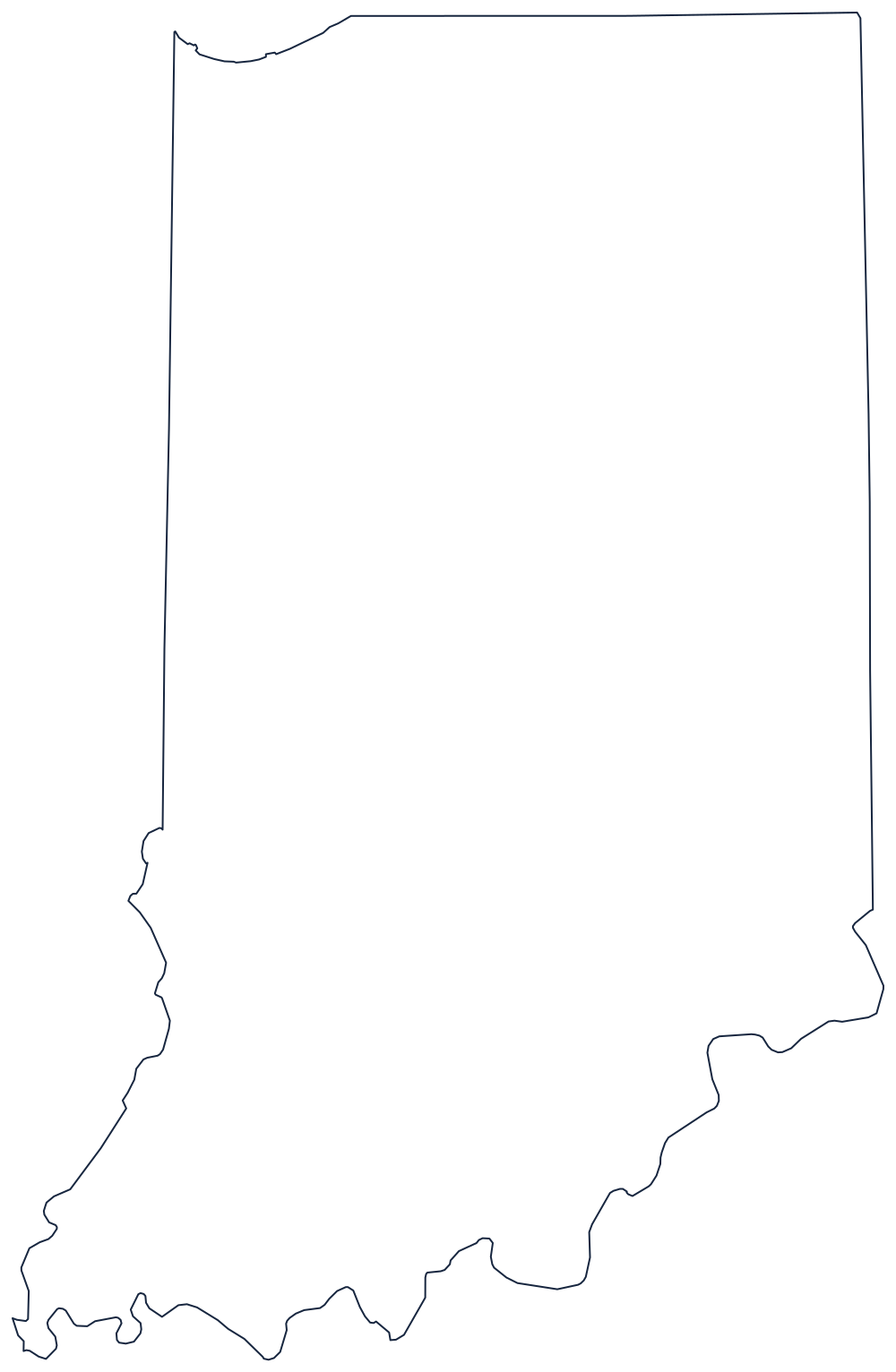
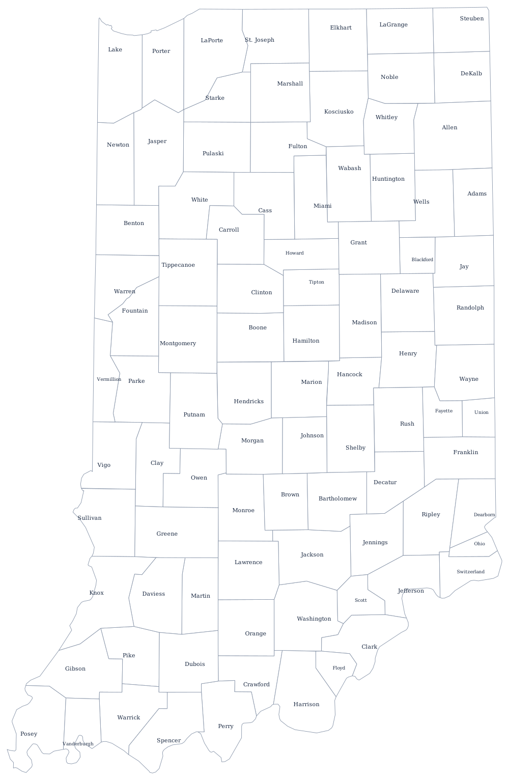
Indiana's outline is close to a rectangle spoiled twice: the notch of Lake Michigan at the top left and the meandering Ohio along the bottom. Print the unlabeled version from the blank Indiana map page, or use the county map to label all 92 counties.
Neighboring states
North across the survey line is Michigan, east is Ohio, west is Illinois, and south across the river is Kentucky. Indiana sits in the East North Central division of the Midwest. Because the state is split between zones, the Eastern time zone page is worth reading alongside this one; the full US map with states puts Indiana in context.