Minnesota Map
The northernmost point in the lower 48 is a Minnesota peninsula reachable by road only through Canada. Capital: Saint Paul. Largest city: Minneapolis.
Minnesota at a glance
| Capital | Saint Paul |
| Largest city | Minneapolis |
| Abbreviation | MN |
| Population | 5,793,151 (2024 Census estimate) |
| Land area | 79,627 sq mi |
| Region | Midwest (West North Central division) |
| Time zone | Central Time statewide |
| County count | 87 counties |
| Statehood | 1858 (32nd state) |
| Borders | Wisconsin, Iowa, South Dakota and North Dakota, plus Lake Superior and the Canadian provinces of Ontario and Manitoba |
Major cities
The Twin Cities hold most of Minnesota. Minneapolis (428,579 in 2024) and St. Paul (307,465) face each other across the Mississippi, and their counties, Hennepin (1,273,334) and Ramsey (542,015), together with Dakota, Anoka and Washington, account for more than half the state's population. Bloomington, Rochester — built around the Mayo Clinic — and Duluth come next. Duluth, at the far western tip of Lake Superior, is roughly 2,300 miles of inland water from the Atlantic and still works as an ocean port for ships coming up the St. Lawrence Seaway. St. Cloud, Mankato and Moorhead, opposite Fargo on the Red River, are the other regional centers. North of a line through Duluth and Bemidji, county populations drop into the low thousands: Lake of the Woods County counted 3,797.
Geography
Minnesota drains three ways, which almost no other state does. The Mississippi begins at Lake Itasca, 1,475 feet above sea level, and runs south to the Gulf. The Red River of the North runs the opposite way, north along the North Dakota border toward Hudson Bay. The streams of the Arrowhead drop into Lake Superior and leave through the Great Lakes for the Atlantic.
The nickname undersells the count: the state Department of Natural Resources lists 11,842 lakes of ten acres or more, nearly all of them gouged out by the last ice sheet. The Red River Valley in the northwest is the bed of glacial Lake Agassiz and is among the flattest farmland in North America. Eagle Mountain, the high point at 2,301 feet, stands about 15 miles from the Lake Superior shore, which at 601 feet is the low point — the closest pairing of a state's extremes anywhere in the country. And the Northwest Angle, the block of land above Lake of the Woods cut off from the rest of the state, is the only ground in the contiguous United States north of the 49th parallel; it exists because the 1783 treaty drew a boundary west from Lake of the Woods to a source of the Mississippi that turned out to lie well to the south.
Printable Minnesota maps
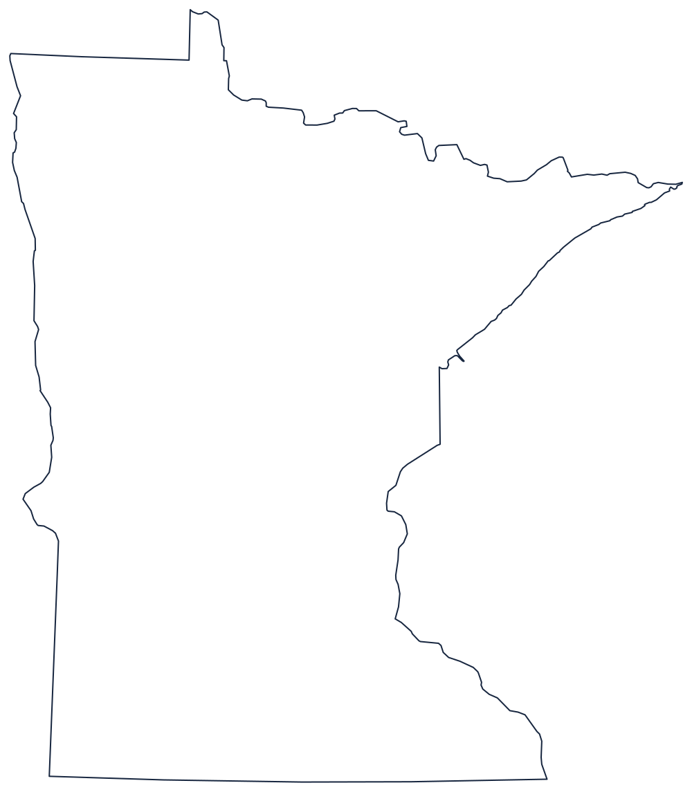
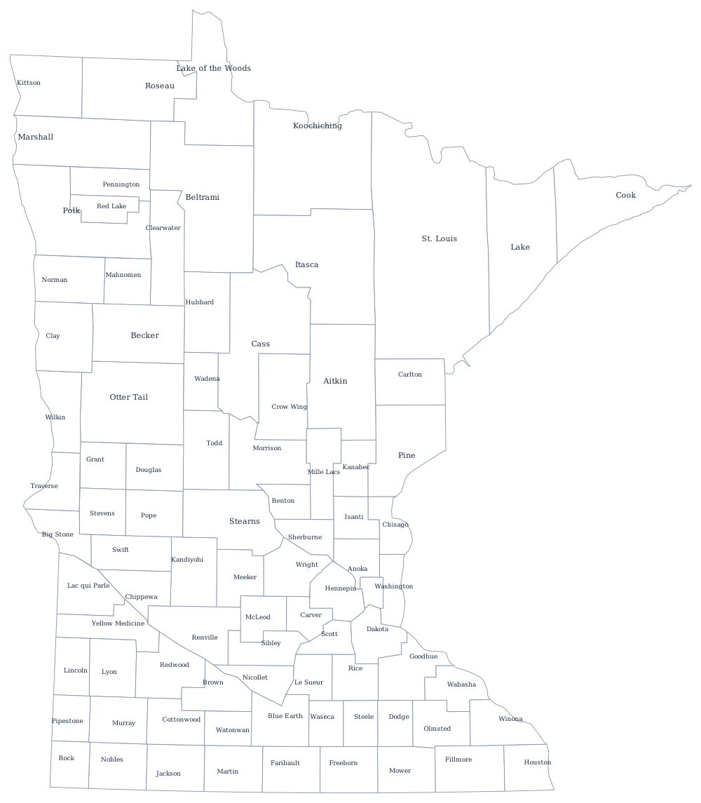
Minnesota's outline carries three kinds of border at once: the ruled 49th parallel and the Angle at the top, the canoe-country lakes of the Ontario line, and the rivers down the east side. The blank Minnesota map page prints it clean, and the Minnesota county map shows all 87 counties.
Neighboring states
East across the St. Croix and the Mississippi is Wisconsin; south across a survey line is Iowa; west are South Dakota and North Dakota, the latter across a river that flows the wrong way. Minnesota anchors the north of the West North Central division of the Midwest. See the whole country on the US map with states, or test the northern tier on the Midwest map quiz.