Mississippi Map
The river the state is named for forms its whole western edge — and keeps moving, leaving parcels of Mississippi on the Arkansas bank. Capital: Jackson.
Mississippi at a glance
| Capital | Jackson |
| Largest city | Jackson |
| Abbreviation | MS |
| Population | 2,943,045 (2024 Census estimate) |
| Land area | 46,923 sq mi |
| Region | South (East South Central division) |
| Time zone | Central Time, statewide |
| Counties | 82 counties, several of which are split into two judicial districts with a county seat apiece |
| Statehood | 1817 (20th state) |
| Borders | Alabama, Arkansas, Louisiana, Tennessee, and the Gulf of Mexico |
Major cities
Jackson is both capital and largest city, on the Pearl River in Hinds County, which counted 211,975 people in 2024 — and it is not the state's biggest county. Harrison County on the Gulf, holding Gulfport and Biloxi, edges it at 213,730, and DeSoto County in the far northwest reached 195,871 as suburban Memphis spilled across the state line.
Around Jackson, Rankin (160,573) and Madison (114,247) counties take the suburban growth the city itself has not kept. Hattiesburg serves the Piney Woods, Tupelo the northeast hills, Vicksburg and Natchez the river bluffs. Mississippi has no city among the 100 largest in the United States and one of the most rural populations in the country, so the county map is the more useful view. Memphis, just over the line in Tennessee, functions as north Mississippi's metropolis.
Geography
The Mississippi River forms the entire western border and has moved often enough since the line was drawn that dozens of oxbows now leave state land on the far bank. Behind it lies the Delta — properly the Yazoo–Mississippi Delta, a flat alluvial plain about 200 miles long between the Yazoo and the Mississippi, with some of the deepest topsoil in North America and almost no relief at all. Its eastern rim is a wall of loess bluffs, and Vicksburg and Natchez were both built on them.
East and south of the bluffs the land rolls into pine forest — the Piney Woods covering the southern third. The northeast corner is different again: hills at the tail of the Appalachian system, where Woodall Mountain reaches 807 ft, the state high point, and where the Tennessee River clips Tishomingo County behind Pickwick Dam. Mississippi's Gulf coast runs about 44 miles, sheltered from open water by the Mississippi Sound and a line of barrier islands — Cat, Ship, Horn and Petit Bois — most of them inside Gulf Islands National Seashore.
Printable Mississippi maps
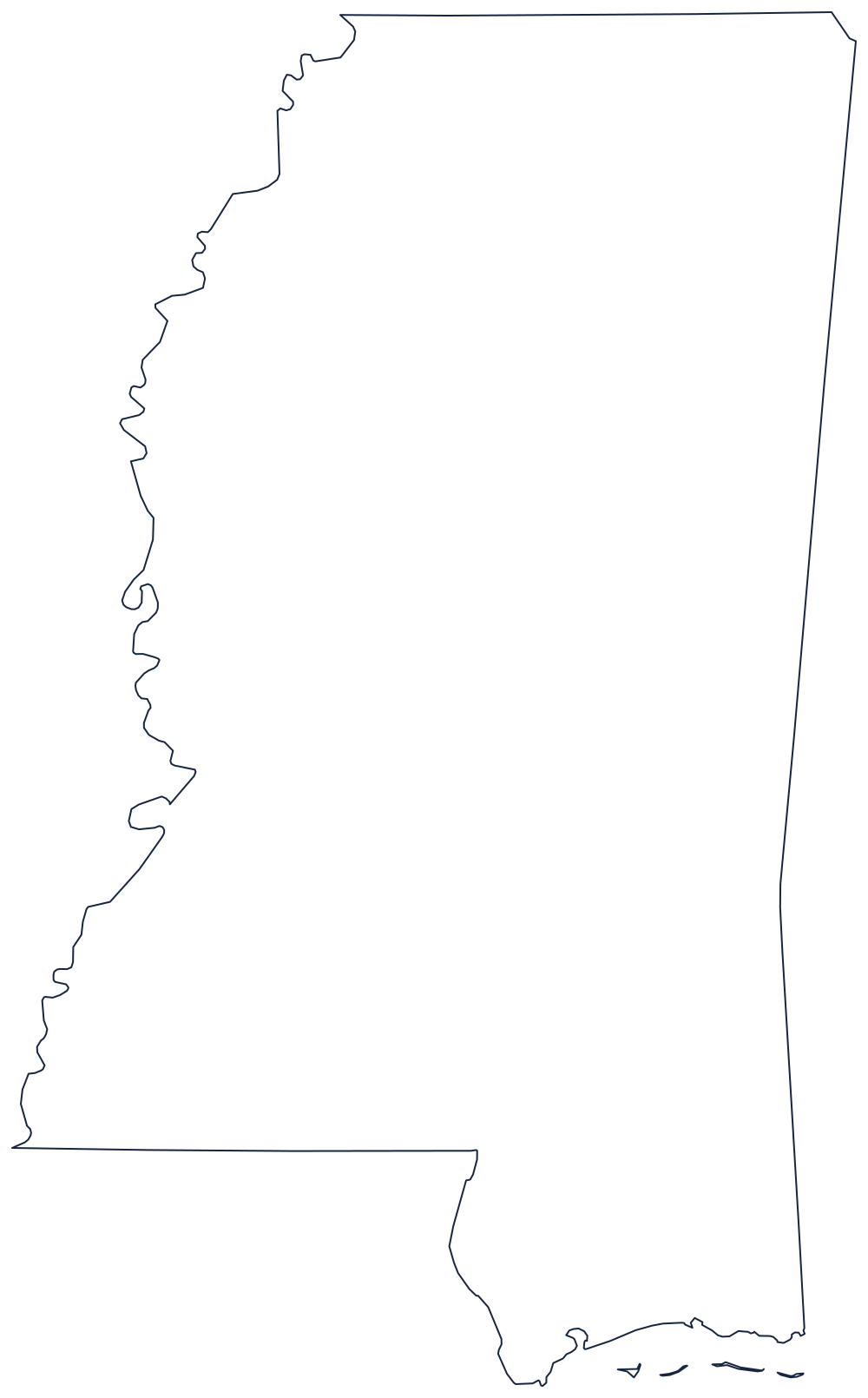
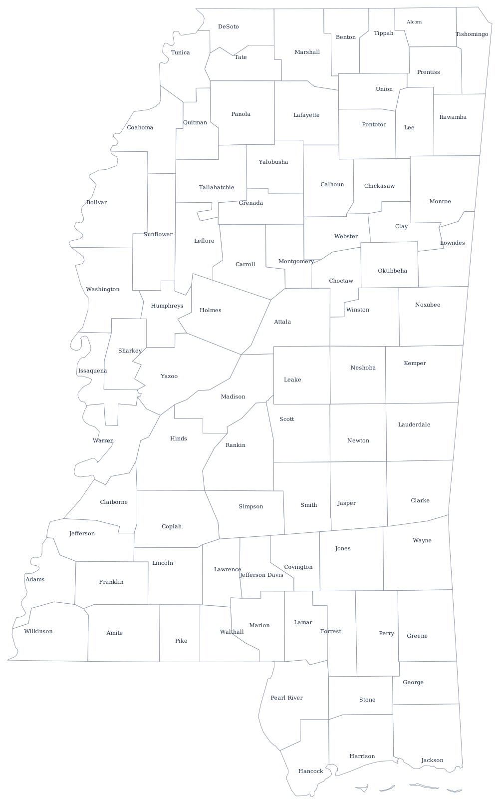
The outline below is nearly a rectangle on three sides and a river on the fourth, which makes it a clean base for river labeling; the blank Mississippi map page has the printable version, and the county sheet carries all 82.
Neighboring states
Tennessee lies north along a straight survey line through Memphis’s southern suburbs; Alabama is east along another; Louisiana is south, divided partly by the Pearl River; and Arkansas is west across the Mississippi. Three of the four share the East South Central division or the river with it.