US Map / States / North Carolina
North Carolina Map
From Mount Mitchell, the highest summit east of the Mississippi, to the Outer Banks standing offshore — North Carolina covers 500 miles of it. Capital: Raleigh.
North Carolina at a glance
| Capital | Raleigh |
| Largest city | Charlotte |
| Abbreviation | NC |
| Population | 11,046,024 (2024 Census estimate) |
| Land area | 48,618 sq mi |
| Region | South (South Atlantic division) |
| Time zone | Eastern Time, statewide |
| Counties | 100 counties |
| Statehood | 1789 (12th state) |
| Borders | Georgia, South Carolina, Tennessee, Virginia, and the Atlantic |
Major cities
Five North Carolina cities rank among the 100 largest in the country, and all five are in the Piedmont. Charlotte leads at 943,476 in 2024, a banking center that grew on the rail line rather than on any river. The Research Triangle supplies two of the others — Raleigh at 499,825 and Durham at 301,870 — and the Piedmont Triad, 80 miles west, supplies Greensboro at 307,381 and Winston-Salem at 255,769.
Wake County, around Raleigh, has now passed Mecklenburg — 1,232,444 to 1,206,285 — making it the state’s most populous. Outside the Piedmont, Fayetteville serves Fort Bragg, Wilmington is the deepwater port, and Asheville is the mountain city. See how they rank nationally on the US cities map.
Geography
North Carolina is textbook three-province geography. In the west the Appalachians reach their greatest height: Mount Mitchell in the Black Mountains is 6,684 ft, the highest point in the United States east of the Mississippi, and the Great Smoky Mountains run along the Tennessee line inside the most-visited national park in the country. The Blue Ridge Parkway follows the crest for 469 miles into Virginia.
The Piedmont holds the cities, ending at the fall line that passes near Raleigh. Then the coastal plain flattens out to the sounds — Albemarle and Pamlico, the latter the largest lagoon on the US East Coast — which are held in by the Outer Banks, a chain of barrier islands standing as much as 30 miles offshore and pinned by Cape Hatteras, Cape Lookout and Cape Fear. Roughly 300 miles of general Atlantic coastline, the shifting inlets and the shoals off Hatteras earned the area its wreck-strewn reputation. The Great Dismal Swamp straddles the Virginia border in the northeast corner.
Printable North Carolina maps
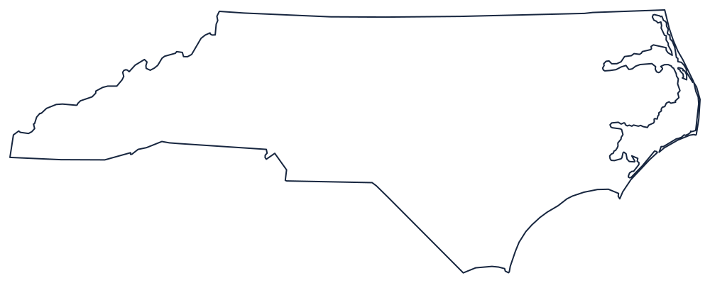
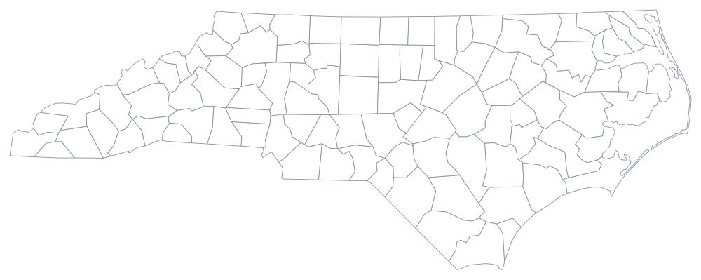
The long, thin outline needs a landscape page: download the SVG above, or take the classroom sheet from the blank North Carolina map page. The county file draws all 100 boundaries.
Neighboring states
Virginia sits north along a line that was surveyed in stages and jogs where the surveys disagreed; Tennessee is west along the mountain crest; South Carolina runs southeast on a boundary the two states re-surveyed and formally corrected in 2016, moving a handful of properties across the line; and Georgia clips the far southwest corner. Test the whole region with the Southern states quiz.